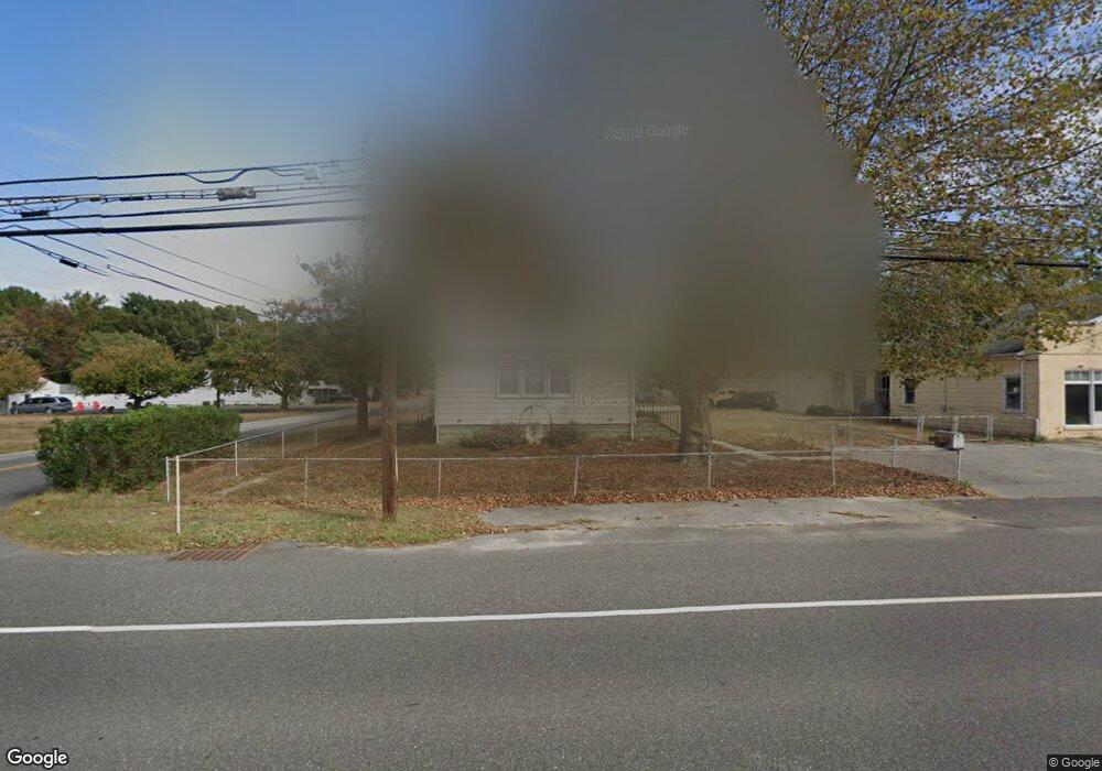
395 Harding Hwy Penns Grove, NJ 08069
Estimated Value: $250,778 - $347,000
--
Bed
--
Bath
2,496
Sq Ft
$127/Sq Ft
Est. Value
About This Home
This home is located at 395 Harding Hwy, Penns Grove, NJ 08069 and is currently estimated at $316,195, approximately $126 per square foot. 395 Harding Hwy is a home located in Salem County with nearby schools including Lafayette-Pershing Elementary School, Field Street Elementary School, and Paul W. Carleton Elementary School.
Ownership History
Date
Name
Owned For
Owner Type
Purchase Details
Closed on
Nov 5, 2018
Sold by
Blite Llc
Bought by
Santucci Mary K
Current Estimated Value
Purchase Details
Closed on
Feb 28, 2014
Sold by
Montagna Eugene J and Montagna Albert J
Bought by
Montagna Albert J and Montagna Lisa M
Purchase Details
Closed on
Sep 24, 2001
Sold by
Montagna Albert J
Bought by
Montagna Eugene and Montagna Stephanie
Purchase Details
Closed on
Oct 19, 1998
Sold by
Depalma Mary N
Bought by
Montagna James R
Purchase Details
Closed on
Mar 30, 1995
Sold by
Montagna James R and Montagna Mary R
Bought by
Montagna Albert J
Create a Home Valuation Report for This Property
The Home Valuation Report is an in-depth analysis detailing your home's value as well as a comparison with similar homes in the area
Home Values in the Area
Average Home Value in this Area
Purchase History
| Date | Buyer | Sale Price | Title Company |
|---|---|---|---|
| Santucci Mary K | $46,921 | -- | |
| Montagna Albert J | -- | -- | |
| Montagna Eugene | -- | -- | |
| Montagna James R | $42,000 | -- | |
| Montagna Albert J | -- | -- |
Source: Public Records
Tax History Compared to Growth
Tax History
| Year | Tax Paid | Tax Assessment Tax Assessment Total Assessment is a certain percentage of the fair market value that is determined by local assessors to be the total taxable value of land and additions on the property. | Land | Improvement |
|---|---|---|---|---|
| 2025 | $6,146 | $288,000 | $56,300 | $231,700 |
| 2024 | $5,935 | $166,700 | $24,900 | $141,800 |
| 2023 | $5,935 | $166,700 | $24,900 | $141,800 |
| 2022 | $5,584 | $166,700 | $24,900 | $141,800 |
| 2021 | $5,531 | $166,700 | $24,900 | $141,800 |
| 2020 | $5,579 | $166,700 | $24,900 | $141,800 |
| 2019 | $5,626 | $166,700 | $24,900 | $141,800 |
| 2018 | $5,054 | $160,500 | $32,700 | $127,800 |
| 2017 | $4,712 | $160,500 | $32,700 | $127,800 |
| 2016 | $5,072 | $179,300 | $32,700 | $146,600 |
| 2015 | $4,836 | $179,300 | $32,700 | $146,600 |
| 2014 | $4,578 | $179,300 | $32,700 | $146,600 |
Source: Public Records
Map
Nearby Homes
- 62 E End Ave
- 279 Logwood Ave
- 15 1/2 N Miller Ave
- 497 Robinson Rd
- 253 Dixie Dr
- 65 S Miller Ave
- 419 Ives Ave
- 327 Lafayette Rd
- 311 Tyler Ave
- 243 Wintergreen Ln
- 328 Polk Ave
- 5 Dixie Dr
- 113 Primrose Ln
- 4 Grove St
- 410 Erie Ave
- 346 Coolidge Ave
- 45 S Virginia Ave
- 517 Robinson Rd
- 150 Penns Grove Auburn Rd
- 380 Erie Ave