Estimated Value: $506,554 - $678,000
3
Beds
2
Baths
1,328
Sq Ft
$436/Sq Ft
Est. Value
About This Home
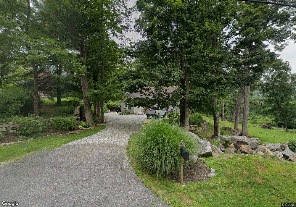
This home is located at 395 Kent Cornwall Rd, Kent, CT 06757 and is currently estimated at $578,889, approximately $435 per square foot. 395 Kent Cornwall Rd is a home located in Litchfield County with nearby schools including Kent Center School and Housatonic Valley Regional High School.
Ownership History
Date
Name
Owned For
Owner Type
Purchase Details
Closed on
Mar 24, 2022
Sold by
Carlin Glenn and Carlin Hillary
Bought by
Contreras Salvador and Hernandez Jamie
Current Estimated Value
Purchase Details
Closed on
Jan 4, 1999
Sold by
Conservation Fund
Bought by
Carlin Glenn and Carlin Hillary
Home Financials for this Owner
Home Financials are based on the most recent Mortgage that was taken out on this home.
Original Mortgage
$36,000
Interest Rate
8.5%
Create a Home Valuation Report for This Property
The Home Valuation Report is an in-depth analysis detailing your home's value as well as a comparison with similar homes in the area
Home Values in the Area
Average Home Value in this Area
Purchase History
| Date | Buyer | Sale Price | Title Company |
|---|---|---|---|
| Contreras Salvador | $390,000 | None Available | |
| Carlin Glenn | $45,000 | -- |
Source: Public Records
Mortgage History
| Date | Status | Borrower | Loan Amount |
|---|---|---|---|
| Previous Owner | Carlin Glenn | $200,000 | |
| Previous Owner | Carlin Glenn | $100,000 | |
| Previous Owner | Carlin Glenn | $36,000 |
Source: Public Records
Tax History Compared to Growth
Tax History
| Year | Tax Paid | Tax Assessment Tax Assessment Total Assessment is a certain percentage of the fair market value that is determined by local assessors to be the total taxable value of land and additions on the property. | Land | Improvement |
|---|---|---|---|---|
| 2025 | $5,375 | $318,600 | $85,500 | $233,100 |
| 2024 | $4,967 | $318,600 | $85,500 | $233,100 |
| 2023 | $3,962 | $211,200 | $92,500 | $118,700 |
| 2022 | $3,922 | $211,200 | $92,500 | $118,700 |
| 2021 | $3,924 | $211,300 | $92,600 | $118,700 |
| 2020 | $3,930 | $211,200 | $92,500 | $118,700 |
| 2019 | $3,930 | $211,200 | $92,500 | $118,700 |
| 2018 | $3,908 | $210,000 | $114,700 | $95,300 |
| 2017 | $3,908 | $210,000 | $114,700 | $95,300 |
| 2016 | $3,849 | $210,000 | $114,700 | $95,300 |
| 2015 | $3,751 | $210,000 | $114,700 | $95,300 |
| 2014 | $3,576 | $210,000 | $114,700 | $95,300 |
Source: Public Records
Map
Nearby Homes
- 00 Old Homestead Ln
- 0 Stonewall Unit 39
- 23 Mauwee Brook Rd
- 5 Weantinogue Ln
- 178 Carter Rd
- 1 W Woods Rd
- 0 W Woods Rd Unit 1 24061899
- 18 Mountain View Rd
- 221 Fuller Mountain Rd
- 143 Whitcomb Hill Rd
- 30 Studio Hill Cir
- 441 Segar Mountain Rd
- 73 Kent Cornwall Rd
- 3 Chase Hill Rd
- 2 Anita Way
- 00 Upper Kent Hollow Rd
- 11 Laurel Mountain Road Extension
- 67 Cunningham Rd
- 4 Westwoods Road 2 Rd
- 11 Day Rd
- 391 Kent Cornwall Rd
- 390 Kent Cornwall Rd
- 397 Kent Cornwall Rd
- 387 Kent Cornwall Rd
- 00 Carter Rd
- 383 Kent Cornwall Rd
- 383R Kent Cornwall Rd
- 11 Carter Rd
- 379 Kent Cornwall Rd
- 408 Kent Cornwall Rd
- 11 Carter Rd
- 433 Kent Cornwall Rd
- 375 Kent Cornwall Rd
- 12 Dugan Rd
- 15 Carter Rd
- 433 Kent Cornwall Rd Unit 29
- 433 Kent Cornwall Rd Unit 26
- 433 Kent Cornwall Rd Unit 1
- 433 Kent Cornwall Rd Unit 5