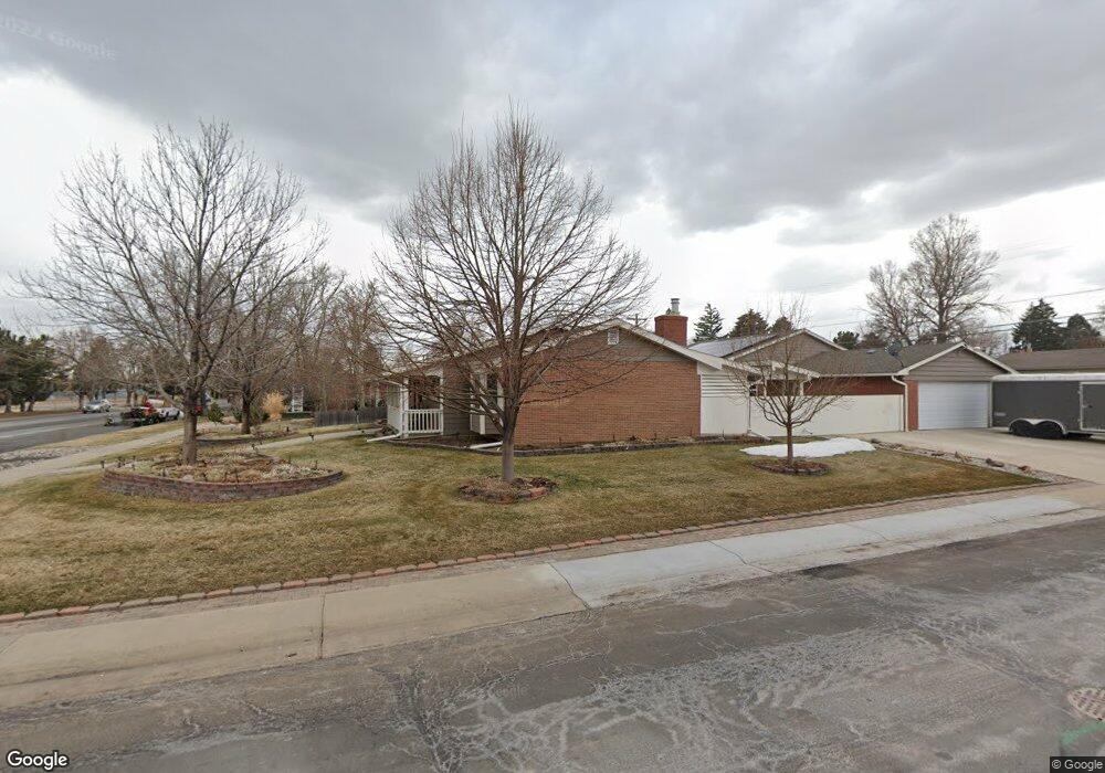
395 Main St Broomfield, CO 80020
Broomfield Heights NeighborhoodEstimated Value: $541,968 - $592,000
3
Beds
2
Baths
1,378
Sq Ft
$411/Sq Ft
Est. Value
About This Home
This home is located at 395 Main St, Broomfield, CO 80020 and is currently estimated at $566,656, approximately $411 per square foot. 395 Main St is a home located in Broomfield County with nearby schools including Broomfield Heights Middle School, Broomfield High School, and Nativity: Faith and Reason.
Ownership History
Date
Name
Owned For
Owner Type
Purchase Details
Closed on
Sep 24, 2003
Sold by
Rada Brent R
Bought by
Rada Raymond R and Rada Susan K
Current Estimated Value
Home Financials for this Owner
Home Financials are based on the most recent Mortgage that was taken out on this home.
Original Mortgage
$165,000
Outstanding Balance
$71,298
Interest Rate
5.25%
Mortgage Type
Purchase Money Mortgage
Estimated Equity
$495,358
Purchase Details
Closed on
Aug 13, 1998
Purchase Details
Closed on
Jan 22, 1990
Create a Home Valuation Report for This Property
The Home Valuation Report is an in-depth analysis detailing your home's value as well as a comparison with similar homes in the area
Home Values in the Area
Average Home Value in this Area
Purchase History
| Date | Buyer | Sale Price | Title Company |
|---|---|---|---|
| Rada Raymond R | -- | Land Title | |
| -- | $140,000 | -- | |
| -- | $79,000 | -- |
Source: Public Records
Mortgage History
| Date | Status | Borrower | Loan Amount |
|---|---|---|---|
| Open | Rada Raymond R | $165,000 |
Source: Public Records
Tax History Compared to Growth
Tax History
| Year | Tax Paid | Tax Assessment Tax Assessment Total Assessment is a certain percentage of the fair market value that is determined by local assessors to be the total taxable value of land and additions on the property. | Land | Improvement |
|---|---|---|---|---|
| 2025 | $2,454 | $33,440 | $8,140 | $25,300 |
| 2024 | $2,454 | $32,890 | $7,730 | $25,160 |
| 2023 | $2,449 | $37,930 | $8,910 | $29,020 |
| 2022 | $1,902 | $26,620 | $5,740 | $20,880 |
| 2021 | $1,892 | $27,390 | $5,910 | $21,480 |
| 2020 | $1,726 | $25,500 | $5,290 | $20,210 |
| 2019 | $1,723 | $25,670 | $5,320 | $20,350 |
| 2018 | $1,343 | $21,430 | $3,890 | $17,540 |
| 2017 | $1,323 | $23,700 | $4,300 | $19,400 |
| 2016 | $979 | $18,340 | $4,300 | $14,040 |
| 2015 | $945 | $14,960 | $4,550 | $10,410 |
| 2014 | $1,392 | $14,960 | $4,550 | $10,410 |
Source: Public Records
Map
Nearby Homes
- 240 W 6th Ave
- 400 W Midway Blvd
- 685 Daphne St
- 255 Beryl Way
- 820 W 7th Avenue Dr
- 290 Daphne Way
- 126 Beryl Way
- 375 Hemlock St
- 1123 Oakhurst Dr
- 216 Hemlock St
- 123 Emerald St
- 1152 Clubhouse Dr
- 680 Kalmia Way
- 640 Kalmia Way
- 927 E 7th Ave
- 1035 Iris St
- 800 Mesa Ct
- 1175 Oakhurst Dr
- 135 Garnet St
- 1010 Ash St
- 385 Main St
- 379 Main St
- 390 Agate St
- 380 Agate St
- 101 W 4th Avenue Dr
- 125 W 4th Avenue Dr
- 370 Agate St
- 375 Main St
- 155 W 4th Avenue Dr
- 175 W 4th Avenue Dr
- 366 Agate St
- 365 Main St
- 195 W 4th Avenue Dr
- 360 Agate St
- 130 W Midway Blvd
- 100 W Midway Blvd
- 355 Main St
- 399 Agate St
- 150 W Midway Blvd
- 395 Agate St