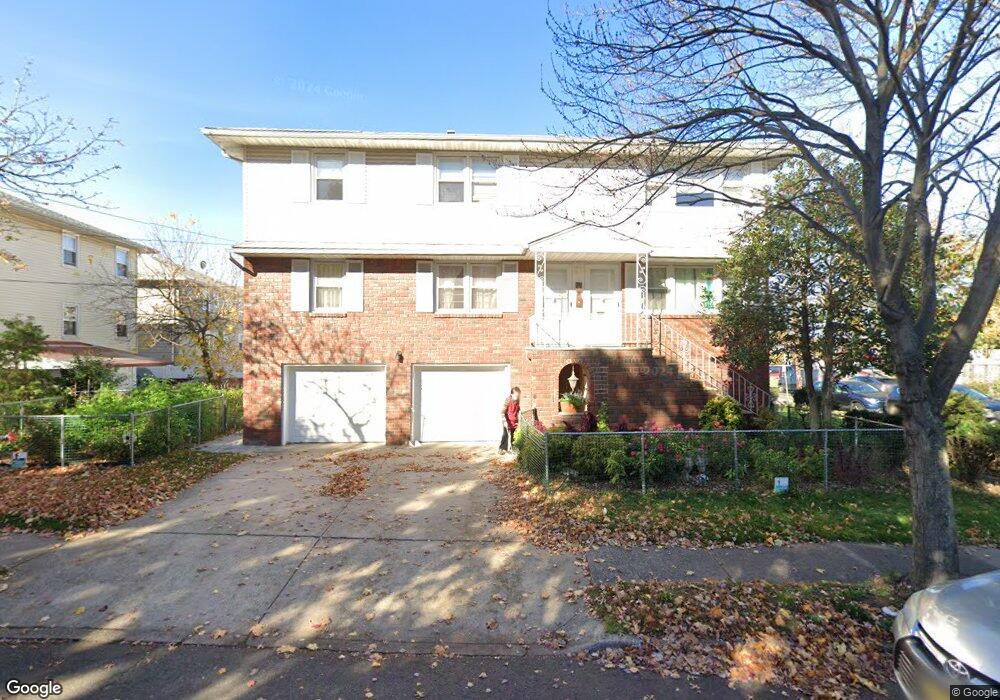
395 Mayer Ct Ridgefield, NJ 07657
Estimated Value: $990,525 - $1,329,000
6
Beds
5
Baths
2,700
Sq Ft
$427/Sq Ft
Est. Value
About This Home
This home is located at 395 Mayer Ct, Ridgefield, NJ 07657 and is currently estimated at $1,152,631, approximately $426 per square foot. 395 Mayer Ct is a home located in Bergen County with nearby schools including Slocum Skewes School, Bergen Blvd School, and Ridgefield Memorial High School.
Ownership History
Date
Name
Owned For
Owner Type
Purchase Details
Closed on
Jul 28, 2004
Sold by
Castronuovo Leonard
Bought by
Pak Myung Sun An and An Byeong Ki
Current Estimated Value
Home Financials for this Owner
Home Financials are based on the most recent Mortgage that was taken out on this home.
Original Mortgage
$499,000
Outstanding Balance
$252,849
Interest Rate
6.33%
Estimated Equity
$899,782
Create a Home Valuation Report for This Property
The Home Valuation Report is an in-depth analysis detailing your home's value as well as a comparison with similar homes in the area
Home Values in the Area
Average Home Value in this Area
Purchase History
| Date | Buyer | Sale Price | Title Company |
|---|---|---|---|
| Pak Myung Sun An | $749,000 | -- |
Source: Public Records
Mortgage History
| Date | Status | Borrower | Loan Amount |
|---|---|---|---|
| Open | Pak Myung Sun An | $499,000 |
Source: Public Records
Tax History Compared to Growth
Tax History
| Year | Tax Paid | Tax Assessment Tax Assessment Total Assessment is a certain percentage of the fair market value that is determined by local assessors to be the total taxable value of land and additions on the property. | Land | Improvement |
|---|---|---|---|---|
| 2025 | $14,706 | $894,100 | $333,300 | $560,800 |
| 2024 | $14,261 | $868,100 | $325,800 | $542,300 |
| 2023 | $14,224 | $852,400 | $320,800 | $531,600 |
| 2022 | $14,224 | $839,200 | $315,800 | $523,400 |
| 2021 | $15,259 | $606,600 | $220,600 | $386,000 |
| 2020 | $15,396 | $606,600 | $220,600 | $386,000 |
| 2019 | $15,044 | $606,600 | $220,600 | $386,000 |
| 2018 | $14,662 | $606,600 | $220,600 | $386,000 |
| 2017 | $14,097 | $606,600 | $220,600 | $386,000 |
| 2016 | $13,576 | $606,600 | $220,600 | $386,000 |
| 2015 | $13,145 | $606,600 | $220,600 | $386,000 |
| 2014 | $12,733 | $606,600 | $220,600 | $386,000 |
Source: Public Records
Map
Nearby Homes
- 898 Lancaster Rd
- 510 Broad Ave
- 402 Morse Ave
- 475 Morse Ave
- 468 Morse Ave
- 480 Morse Ave
- 303 Shaler Blvd
- 499 Morse Ave
- 744 Clark Ave
- 40 Franklin Ave
- 508 Broad Ave
- 735 Clark Ave
- 539 Hillside St
- 405 Chestnut St
- 582 Morse Ave
- 547 Church St
- 512 Russell Ave
- 664 Day Ave
- 604 Abbott Ave
- 2 Kathleen Ct Unit C002
- 882 Howard Place
- 389 Mayer Ct
- 385 Mayer Ct
- 886 Howard Place
- 390 Mayer Ct Unit 2
- 390 Mayer Ct
- 397 Mayer Ct
- 397 Mayer Ct Unit 2nd
- 386 Mayer Ct
- 394 Mayer Ct
- 394 Mayer Ct Unit 2
- 382 Mayer Ct
- 382 Mayer Ct Unit 1
- 401 Mayer Ct
- 398 Mayer Ct
- 398 Mayer Ct Unit 2
- 380 Mayer Ct
- 441 Broad Ave
- 432 Broad Ave Unit 2 Rear
- 432 Broad Ave