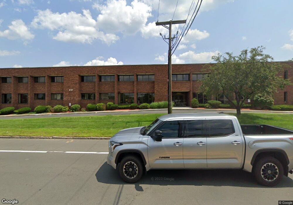
395 Merrimack St Unit 36 Methuen, MA 01844
The East End NeighborhoodEstimated Value: $301,000 - $321,000
2
Beds
1
Bath
803
Sq Ft
$385/Sq Ft
Est. Value
About This Home
This home is located at 395 Merrimack St Unit 36, Methuen, MA 01844 and is currently estimated at $309,300, approximately $385 per square foot. 395 Merrimack St Unit 36 is a home located in Essex County with nearby schools including South Point Elementary School, Methuen High School, and Community Day Charter Public School - Gateway.
Ownership History
Date
Name
Owned For
Owner Type
Purchase Details
Closed on
Dec 30, 2020
Sold by
Vallante Virginia M
Bought by
Carsanaro Lesley Rt
Current Estimated Value
Purchase Details
Closed on
Oct 10, 1995
Sold by
Michard Alphie J
Bought by
Vallante Virginia M
Home Financials for this Owner
Home Financials are based on the most recent Mortgage that was taken out on this home.
Original Mortgage
$50,000
Interest Rate
7.86%
Mortgage Type
Purchase Money Mortgage
Create a Home Valuation Report for This Property
The Home Valuation Report is an in-depth analysis detailing your home's value as well as a comparison with similar homes in the area
Home Values in the Area
Average Home Value in this Area
Purchase History
| Date | Buyer | Sale Price | Title Company |
|---|---|---|---|
| Carsanaro Lesley Rt | $200,000 | None Available | |
| Vallante Virginia M | $60,000 | -- |
Source: Public Records
Mortgage History
| Date | Status | Borrower | Loan Amount |
|---|---|---|---|
| Previous Owner | Vallante Virginia M | $50,000 |
Source: Public Records
Tax History Compared to Growth
Tax History
| Year | Tax Paid | Tax Assessment Tax Assessment Total Assessment is a certain percentage of the fair market value that is determined by local assessors to be the total taxable value of land and additions on the property. | Land | Improvement |
|---|---|---|---|---|
| 2025 | $3,141 | $296,900 | $0 | $296,900 |
| 2024 | $2,363 | $217,600 | $0 | $217,600 |
| 2023 | $2,389 | $204,200 | $0 | $204,200 |
| 2022 | $2,431 | $186,300 | $0 | $186,300 |
| 2021 | $2,241 | $169,900 | $0 | $169,900 |
| 2020 | $2,425 | $180,400 | $0 | $180,400 |
| 2019 | $2,432 | $171,400 | $0 | $171,400 |
| 2018 | $1,909 | $151,700 | $0 | $151,700 |
| 2017 | $1,896 | $129,400 | $0 | $129,400 |
| 2016 | $1,841 | $124,300 | $0 | $124,300 |
| 2015 | $1,743 | $119,400 | $0 | $119,400 |
Source: Public Records
Map
Nearby Homes
- 17 Ferry Rd
- 27 Russell Farm Dr
- 45 Christopher Dr Unit 101
- 29 Wallace St
- 95 Pilgrim Cir Unit 95
- 23 Constitution Way Unit 23
- 23 Constitution Way
- 2 Goodrich Ave
- 46 Oneida St
- 86 Comet Rd
- 50 Woburn St
- 128 Pleasant Valley St
- 49 Golf Ave
- 122 Pleasant Valley St
- 107 Farrwood Dr Unit 107
- 68 Sterling Ln
- 14 S Riverview St
- 49 Ferry Rd
- 369 Farrwood Dr
- 406 Farrwood Dr Unit 406
- 395 Merrimack St Unit 48
- 395 Merrimack St Unit 47
- 395 Merrimack St Unit 46
- 395 Merrimack St Unit 45
- 395 Merrimack St Unit 44
- 395 Merrimack St Unit 43
- 395 Merrimack St Unit 42
- 395 Merrimack St Unit 41
- 395 Merrimack St Unit 40
- 395 Merrimack St
- 395 Merrimack St Unit 38
- 395 Merrimack St Unit 37
- 395 Merrimack St Unit 34
- 395 Merrimack St Unit 33
- 395 Merrimack St Unit 32
- 395 Merrimack St Unit 31
- 395 Merrimack St Unit 30
- 395 Merrimack St Unit 29
- 395 Merrimack St Unit 28
- 395 Merrimack St Unit 27