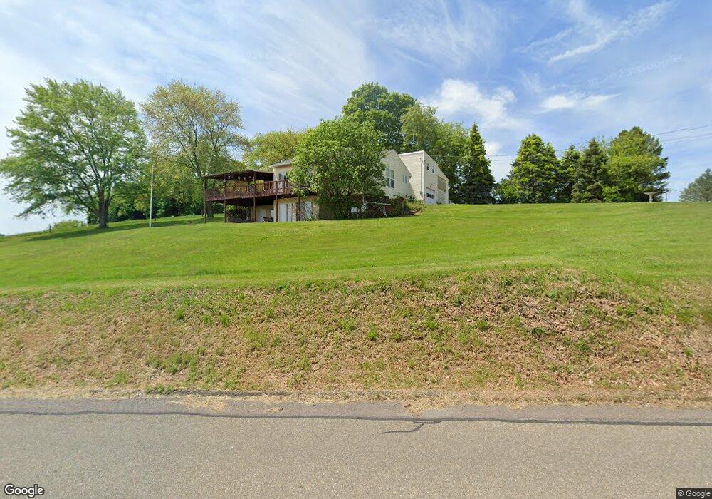
395 Millertown Rd Bloomsburg, PA 17815
Estimated Value: $177,000 - $266,231
--
Bed
--
Bath
2,206
Sq Ft
$107/Sq Ft
Est. Value
About This Home
This home is located at 395 Millertown Rd, Bloomsburg, PA 17815 and is currently estimated at $235,558, approximately $106 per square foot. 395 Millertown Rd is a home located in Columbia County with nearby schools including Central Columbia Elementary School, Central Columbia Middle School, and Central Columbia Senior High School.
Ownership History
Date
Name
Owned For
Owner Type
Purchase Details
Closed on
Jul 14, 2005
Sold by
Michael Edward W
Bought by
Michael Edward W and Snyder Joan M
Current Estimated Value
Home Financials for this Owner
Home Financials are based on the most recent Mortgage that was taken out on this home.
Original Mortgage
$57,500
Interest Rate
5.12%
Mortgage Type
New Conventional
Create a Home Valuation Report for This Property
The Home Valuation Report is an in-depth analysis detailing your home's value as well as a comparison with similar homes in the area
Home Values in the Area
Average Home Value in this Area
Purchase History
| Date | Buyer | Sale Price | Title Company |
|---|---|---|---|
| Michael Edward W | $110,385 | None Available |
Source: Public Records
Mortgage History
| Date | Status | Borrower | Loan Amount |
|---|---|---|---|
| Closed | Michael Edward W | $57,500 |
Source: Public Records
Tax History Compared to Growth
Tax History
| Year | Tax Paid | Tax Assessment Tax Assessment Total Assessment is a certain percentage of the fair market value that is determined by local assessors to be the total taxable value of land and additions on the property. | Land | Improvement |
|---|---|---|---|---|
| 2025 | $2,941 | $45,396 | $0 | $0 |
| 2024 | $2,863 | $45,396 | $6,734 | $38,662 |
| 2023 | $2,726 | $45,396 | $6,734 | $38,662 |
| 2022 | $2,726 | $45,396 | $6,734 | $38,662 |
| 2021 | $2,726 | $45,396 | $6,734 | $38,662 |
| 2020 | $2,628 | $45,396 | $6,734 | $38,662 |
| 2019 | $2,571 | $45,396 | $6,734 | $38,662 |
| 2018 | $2,571 | $45,396 | $6,734 | $38,662 |
| 2017 | $2,537 | $45,396 | $6,734 | $38,662 |
| 2016 | -- | $45,396 | $6,734 | $38,662 |
| 2015 | -- | $67,729 | $6,734 | $60,995 |
| 2014 | -- | $67,729 | $6,734 | $60,995 |
Source: Public Records
Map
Nearby Homes
- 298 Peacock Corners Rd
- 53 Fox Hollow Rd
- 165 Schoolhouse Rd
- 7101 Julian Dr
- 7103 Julian Dr
- 8104 Julian Dr
- 7102 Julian Dr
- 8103 Julian Dr
- 7104 Julian Dr
- Barberry Plan at Horse Farm Court
- Lily Plan at Horse Farm Court
- 7104 LT 5 Julian Dr
- 8104 LT 25 Julian Dr
- 8102 LT 23 Julian Dr
- 7103 LT 4 Julian Dr
- 8103 LT 24 Julian Dr
- 7102 LT 3 Julian Dr
- 139 Rotary St
- 7101 LT 2 Julian Dr
- 2622 Johnson Rd
- 409 Millertown Rd
- 383 Millertown Rd
- 417 Millertown Rd
- 402 Millertown Rd
- 419 Millertown Rd
- 419A Millertown Rd
- 423 Millertown Rd
- 428 Millertown Rd
- 431 Millertown Rd
- 386 Millertown Rd
- 347 Millertown Rd
- 344 Millertown Rd
- 337 Millertown Rd
- 338 Millertown Rd
- 489 Thomas Rd
- 377B Millertown Rd
- 499 Thomas Rd
- 377 Millertown Rd
- 322 Millertown Rd
- 500 Thomas Rd