395 N 580 W American Fork, UT 84003
Estimated Value: $362,000 - $429,000
3
Beds
2
Baths
1,300
Sq Ft
$299/Sq Ft
Est. Value
About This Home
This home is located at 395 N 580 W, American Fork, UT 84003 and is currently estimated at $389,053, approximately $299 per square foot. 395 N 580 W is a home located in Utah County with nearby schools including Shelley Elementary School, American Fork Junior High School, and American Fork High School.
Ownership History
Date
Name
Owned For
Owner Type
Purchase Details
Closed on
Jan 12, 2024
Sold by
Lefevre Jeremy and Lefevre Caylin
Bought by
Benson Mackenzie
Current Estimated Value
Purchase Details
Closed on
May 1, 2020
Sold by
Lefevre Jeremy
Bought by
Lefevre Jeremy and Lefevre Caylin
Home Financials for this Owner
Home Financials are based on the most recent Mortgage that was taken out on this home.
Original Mortgage
$219,600
Interest Rate
3.6%
Mortgage Type
New Conventional
Purchase Details
Closed on
Apr 29, 2020
Sold by
Crockett Steve
Bought by
Lefevre Jeremy
Home Financials for this Owner
Home Financials are based on the most recent Mortgage that was taken out on this home.
Original Mortgage
$219,600
Interest Rate
3.6%
Mortgage Type
New Conventional
Purchase Details
Closed on
Jul 16, 2014
Sold by
Williams David G and Williams Shannon M
Bought by
Crockett Steve
Home Financials for this Owner
Home Financials are based on the most recent Mortgage that was taken out on this home.
Original Mortgage
$125,910
Interest Rate
4.1%
Mortgage Type
New Conventional
Purchase Details
Closed on
Jul 11, 2006
Sold by
Myers Constance Gaila
Bought by
Williams David G and Williams Shannon M
Purchase Details
Closed on
Jun 17, 2006
Sold by
Myers Constance Gaila
Bought by
Myers Constance Gaila
Purchase Details
Closed on
Aug 21, 2000
Sold by
Hayes Mark D and Hayes Gary E
Bought by
Huston Boni G
Purchase Details
Closed on
Jun 18, 1998
Sold by
Greening Justin W and Greening Kristine L
Bought by
Hayes Mark D and Hayes Gary E
Home Financials for this Owner
Home Financials are based on the most recent Mortgage that was taken out on this home.
Original Mortgage
$88,740
Interest Rate
7.11%
Mortgage Type
FHA
Create a Home Valuation Report for This Property
The Home Valuation Report is an in-depth analysis detailing your home's value as well as a comparison with similar homes in the area
Home Values in the Area
Average Home Value in this Area
Purchase History
| Date | Buyer | Sale Price | Title Company |
|---|---|---|---|
| Benson Mackenzie | -- | Rampart Title | |
| Lefevre Jeremy | -- | Accommodation | |
| Lefevre Jeremy | -- | First American American Fork | |
| Crockett Steve | -- | Sutherland Title Co | |
| Williams David G | -- | None Available | |
| Myers Constance Gaila | -- | None Available | |
| Huston Boni G | -- | Signature Title | |
| Hayes Mark D | -- | -- |
Source: Public Records
Mortgage History
| Date | Status | Borrower | Loan Amount |
|---|---|---|---|
| Previous Owner | Lefevre Jeremy | $219,600 | |
| Previous Owner | Crockett Steve | $125,910 | |
| Previous Owner | Hayes Mark D | $88,740 |
Source: Public Records
Tax History Compared to Growth
Tax History
| Year | Tax Paid | Tax Assessment Tax Assessment Total Assessment is a certain percentage of the fair market value that is determined by local assessors to be the total taxable value of land and additions on the property. | Land | Improvement |
|---|---|---|---|---|
| 2025 | $1,695 | $178,970 | $47,800 | $277,600 |
| 2024 | $1,695 | $188,320 | $0 | $0 |
| 2023 | $1,501 | $176,825 | $0 | $0 |
| 2022 | $1,640 | $190,630 | $0 | $0 |
| 2021 | $1,344 | $244,000 | $36,600 | $207,400 |
| 2020 | $1,271 | $223,800 | $33,600 | $190,200 |
| 2019 | $1,038 | $189,100 | $28,400 | $160,700 |
| 2018 | $930 | $162,000 | $24,300 | $137,700 |
| 2017 | $849 | $79,805 | $0 | $0 |
| 2016 | $863 | $75,350 | $0 | $0 |
| 2015 | $909 | $75,350 | $0 | $0 |
| 2014 | $807 | $66,000 | $0 | $0 |
Source: Public Records
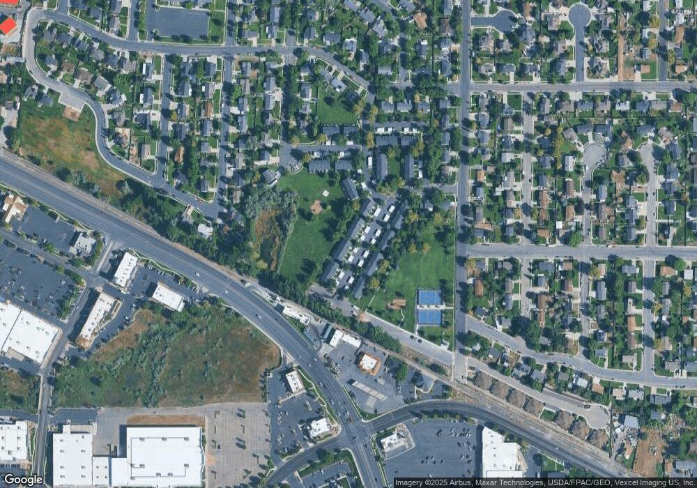
Map
Nearby Homes
- 356 N 480 W
- 777 W State Rd
- 399 W Pacific Dr
- 641 N 420 W
- 370 W Pacific Dr Unit 1
- 540 N 300 W
- 962 N 780 St W Unit 508
- 974 N 780 St W Unit 509
- 916 N 780 St W Unit 501
- 120 N 350 W Unit 127
- 120 N 350 W Unit 133
- 120 N 350 W Unit 130
- 822 W 800 St N Unit LOT319
- 217 W Main St
- 602 W 860 N
- 822 N 860 W Unit 317
- 55 Roosevelt Ave
- 365 N 100 W
- 914 N 400 W Unit A
- 82 S Lincoln Ave