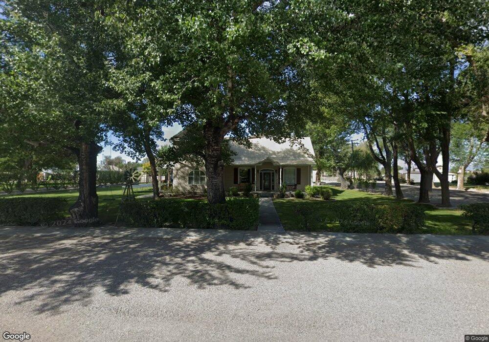
395 N Main St Hinckley, UT 84635
Estimated Value: $292,000 - $373,000
--
Bed
--
Bath
--
Sq Ft
0.75
Acres
About This Home
This home is located at 395 N Main St, Hinckley, UT 84635 and is currently estimated at $340,464. 395 N Main St is a home.
Ownership History
Date
Name
Owned For
Owner Type
Purchase Details
Closed on
Oct 18, 2024
Sold by
Manis Robert J and Manis Cori L
Bought by
Robert And Cori Manis Family Trust and Manis
Current Estimated Value
Purchase Details
Closed on
Jul 17, 2018
Sold by
Manis Robert J
Bought by
Manis Robert J and Manis Cori L
Home Financials for this Owner
Home Financials are based on the most recent Mortgage that was taken out on this home.
Original Mortgage
$143,000
Interest Rate
4.5%
Mortgage Type
New Conventional
Purchase Details
Closed on
Sep 10, 2009
Sold by
Manis Robert J
Bought by
Manis Robert J and Manis Cori L
Create a Home Valuation Report for This Property
The Home Valuation Report is an in-depth analysis detailing your home's value as well as a comparison with similar homes in the area
Home Values in the Area
Average Home Value in this Area
Purchase History
| Date | Buyer | Sale Price | Title Company |
|---|---|---|---|
| Robert And Cori Manis Family Trust | -- | None Listed On Document | |
| Manis Robert J | -- | None Available | |
| Manis Robert J | -- | -- | |
| Manis Robert J | -- | -- |
Source: Public Records
Mortgage History
| Date | Status | Borrower | Loan Amount |
|---|---|---|---|
| Previous Owner | Manis Robert J | $143,000 |
Source: Public Records
Tax History Compared to Growth
Tax History
| Year | Tax Paid | Tax Assessment Tax Assessment Total Assessment is a certain percentage of the fair market value that is determined by local assessors to be the total taxable value of land and additions on the property. | Land | Improvement |
|---|---|---|---|---|
| 2025 | $1,905 | $227,384 | $17,025 | $210,359 |
| 2024 | $1,905 | $223,156 | $6,670 | $216,486 |
| 2023 | $2,246 | $223,156 | $6,670 | $216,486 |
| 2022 | $1,533 | $129,800 | $6,064 | $123,736 |
| 2021 | $1,238 | $99,917 | $5,053 | $94,864 |
| 2020 | $1,174 | $94,880 | $4,813 | $90,067 |
| 2019 | $1,164 | $94,880 | $4,813 | $90,067 |
| 2018 | $1,134 | $94,880 | $4,813 | $90,067 |
| 2017 | $1,150 | $92,257 | $4,813 | $87,444 |
| 2016 | $1,101 | $92,257 | $4,813 | $87,444 |
| 2015 | $1,107 | $92,518 | $4,813 | $87,705 |
| 2014 | -- | $92,518 | $4,813 | $87,705 |
| 2013 | -- | $89,963 | $4,813 | $85,150 |
Source: Public Records
Map
Nearby Homes
- 168 N 100 Rd W
- 289 W Center St S
- 6500 W 2000 S
- 1040 W Center St
- 700 Acres
- 1500 S 10000 W
- 6000 N 10000 W
- 700 Acres Hwy 6 & Main St (Hwy 50)
- 2000 E 10500 N
- 6200 S 3000 W
- 3480 S 4000 W
- 3770 S 4000 Rd W
- 0 Tbd 3000 Rd S Unit LotWP001
- 6177 S 3000 Rd W
- 3885 W 4500 S
- 17000 W 2500 Rd S
- 16700 W 2500 South Rd
- 16800 W 2500 South Rd
- 470 S 2750 W Unit 6
- 460 S 2750 W Unit 7