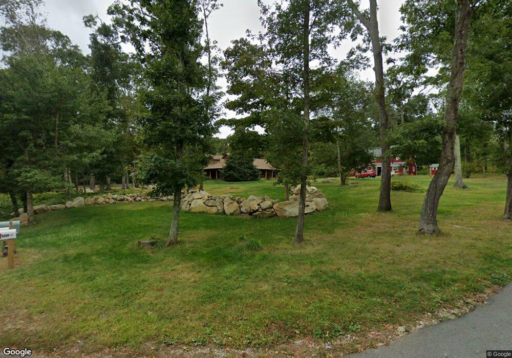
395 River Rd Westport, MA 02790
Acoaxet NeighborhoodEstimated Value: $1,136,346 - $1,458,000
3
Beds
--
Bath
1,802
Sq Ft
$723/Sq Ft
Est. Value
About This Home
This home is located at 395 River Rd, Westport, MA 02790 and is currently estimated at $1,302,782, approximately $722 per square foot. 395 River Rd is a home located in Bristol County with nearby schools including Alice A. Macomber Primary School, Westport Elementary School, and Westport Middle-High School.
Ownership History
Date
Name
Owned For
Owner Type
Purchase Details
Closed on
Jun 4, 1998
Sold by
Morairty Thomas C and Morairty Lynn R
Bought by
Toro Stephen R
Current Estimated Value
Home Financials for this Owner
Home Financials are based on the most recent Mortgage that was taken out on this home.
Original Mortgage
$100,000
Interest Rate
7.05%
Mortgage Type
Purchase Money Mortgage
Create a Home Valuation Report for This Property
The Home Valuation Report is an in-depth analysis detailing your home's value as well as a comparison with similar homes in the area
Home Values in the Area
Average Home Value in this Area
Purchase History
| Date | Buyer | Sale Price | Title Company |
|---|---|---|---|
| Toro Stephen R | $225,000 | -- |
Source: Public Records
Mortgage History
| Date | Status | Borrower | Loan Amount |
|---|---|---|---|
| Open | Toro Stephen R | $92,700 | |
| Closed | Toro Stephen R | $100,000 | |
| Previous Owner | Toro Stephen R | $20,000 |
Source: Public Records
Tax History
| Year | Tax Paid | Tax Assessment Tax Assessment Total Assessment is a certain percentage of the fair market value that is determined by local assessors to be the total taxable value of land and additions on the property. | Land | Improvement |
|---|---|---|---|---|
| 2025 | $6,537 | $877,500 | $567,500 | $310,000 |
| 2024 | $5,809 | $751,500 | $489,700 | $261,800 |
| 2023 | $5,837 | $715,300 | $467,400 | $247,900 |
| 2022 | $5,535 | $652,700 | $467,400 | $185,300 |
| 2021 | $4,823 | $559,500 | $374,200 | $185,300 |
| 2020 | $4,597 | $545,300 | $360,000 | $185,300 |
| 2019 | $4,190 | $506,600 | $328,400 | $178,200 |
| 2018 | $2,945 | $360,500 | $235,200 | $125,300 |
| 2017 | $3,103 | $389,300 | $254,000 | $135,300 |
| 2016 | $3,190 | $403,300 | $275,200 | $128,100 |
Source: Public Records
Map
Nearby Homes
- 1 Puddingstone Cir
- 255 John Dyer Rd
- 245 John Dyer Rd
- 25 Quail Trail
- 17 Quail Trail
- 2 Olin Howland Way
- 505 Long Hwy
- 116 Amy Hart Path
- 140 Long Hwy
- 140I Long Hwy
- 839 Main Rd
- 101 Adamsville Rd
- 90 Two Rod Rd
- 184 Field Stone Ln
- 502 Southlake Rd
- 0 Willow Ave
- 128 Maple Ave
- 164 Stoney Hollow Rd
- 89 S Shore Rd
- 127 Preservation Way
- 401 River Rd
- 1 Cook Ln
- 175 River Rd
- 0 Great Island River Rd Unit 30762943
- 375 River Rd
- 398 River Rd
- 390 River Rd
- 383 River Rd
- 5 Cook Ln Unit winter
- 383 River Rd Unit winter
- 383 River Rd Unit vacation
- 5 Cook Ln Unit 1
- 5 Cook Ln
- 5 Cook Ln Unit 5
- 378 River Rd Unit 380
- 408 River Rd
- 21 Lana Ln Unit COOK
- 394/398 River Rd
- 394 River Rd
- 0 Cook Ln
Your Personal Tour Guide
Ask me questions while you tour the home.