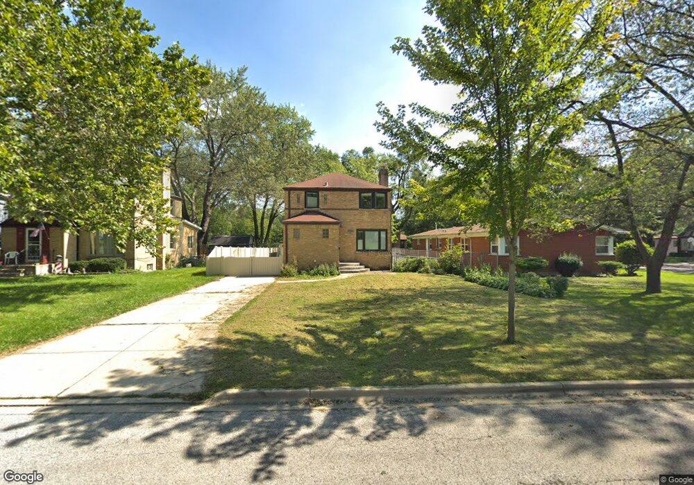
395 S Westgate Rd Des Plaines, IL 60016
Estimated Value: $359,000 - $374,000
3
Beds
2
Baths
1,236
Sq Ft
$297/Sq Ft
Est. Value
About This Home
This home is located at 395 S Westgate Rd, Des Plaines, IL 60016 and is currently estimated at $366,831, approximately $296 per square foot. 395 S Westgate Rd is a home located in Cook County with nearby schools including Terrace Elementary School, Chippewa Middle School, and Maine West High School.
Ownership History
Date
Name
Owned For
Owner Type
Purchase Details
Closed on
Dec 8, 2016
Sold by
Gray Myrland J and Jeffers Lynne D
Bought by
Jeffers Lynne D and Gray Myrland J
Current Estimated Value
Purchase Details
Closed on
Aug 10, 1998
Sold by
Hallock Lynne D Jeffers
Bought by
Gray Myrland J and Jeffers Lynne D
Home Financials for this Owner
Home Financials are based on the most recent Mortgage that was taken out on this home.
Original Mortgage
$104,600
Interest Rate
7.07%
Create a Home Valuation Report for This Property
The Home Valuation Report is an in-depth analysis detailing your home's value as well as a comparison with similar homes in the area
Home Values in the Area
Average Home Value in this Area
Purchase History
| Date | Buyer | Sale Price | Title Company |
|---|---|---|---|
| Jeffers Lynne D | -- | Attorney | |
| Gray Myrland J | -- | -- |
Source: Public Records
Mortgage History
| Date | Status | Borrower | Loan Amount |
|---|---|---|---|
| Closed | Gray Myrland J | $104,600 |
Source: Public Records
Tax History Compared to Growth
Tax History
| Year | Tax Paid | Tax Assessment Tax Assessment Total Assessment is a certain percentage of the fair market value that is determined by local assessors to be the total taxable value of land and additions on the property. | Land | Improvement |
|---|---|---|---|---|
| 2024 | $6,157 | $26,669 | $6,188 | $20,481 |
| 2023 | $6,435 | $28,429 | $6,188 | $22,241 |
| 2022 | $6,435 | $28,429 | $6,188 | $22,241 |
| 2021 | $6,011 | $22,884 | $4,950 | $17,934 |
| 2020 | $5,978 | $22,884 | $4,950 | $17,934 |
| 2019 | $7,566 | $31,542 | $4,950 | $26,592 |
| 2018 | $6,184 | $24,114 | $4,331 | $19,783 |
| 2017 | $6,093 | $24,114 | $4,331 | $19,783 |
| 2016 | $6,007 | $24,114 | $4,331 | $19,783 |
| 2015 | $5,803 | $21,818 | $3,712 | $18,106 |
| 2014 | $5,697 | $21,818 | $3,712 | $18,106 |
| 2013 | $5,537 | $21,818 | $3,712 | $18,106 |
Source: Public Records
Map
Nearby Homes
- 266 Columbia Ave
- 474 E Washington St
- 47 S Josephine Ct
- 900 E Golfview Dr
- 543 Columbia Ave
- 681 S Mount Prospect Rd
- 321 Woodbridge St
- 508 Crestwood Dr
- 434 E Thacker St
- 147 Lance Dr
- 520 E Thacker St
- 356 W Millers Rd
- 301 Lance Dr
- 913 Ingram Place
- 714 E Thacker St
- 879 North Ave
- 866 Clark Ln
- 890 North Ave
- 295 Ardmore Rd
- 320 Cornell Ave
- 389 S Westgate Rd
- 226 E Washington St
- 385 S Westgate Rd
- 208 E Evergreen Ave Unit 11-2
- 234 E Washington St
- 377 S Westgate Rd
- 369 S Westgate Rd
- 326 S Westgate Rd
- 242 E Washington St
- 215 E Washington St
- 221 E Washington St
- 209 E Washington St
- 229 E Washington St
- 168 E Evergreen Ave
- 363 S Westgate Rd
- 237 E Washington St
- 318 S Westgate Rd
- 245 E Washington St
- 374 S Cumberland Pkwy
- 368 S Cumberland Pkwy