Estimated Value: $279,000 - $334,000
--
Bed
--
Bath
2,133
Sq Ft
$142/Sq Ft
Est. Value
About This Home
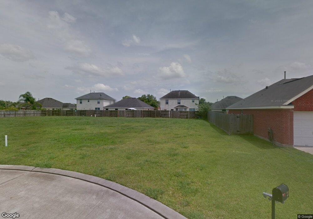
This home is located at 395 Sherandoe Ln, Alvin, TX 77511 and is currently estimated at $302,740, approximately $141 per square foot. 395 Sherandoe Ln is a home with nearby schools including R.L. Stevenson Primary School, Alvin Junior High School, and Alvin High School.
Ownership History
Date
Name
Owned For
Owner Type
Purchase Details
Closed on
Jan 2, 2024
Sold by
Diede Miranda Lynn
Bought by
Diede Jason Maurice
Current Estimated Value
Purchase Details
Closed on
Jun 15, 2017
Sold by
Ellis Juan C and Ellis Maria G
Bought by
Diede Jason and Diede Miranda
Home Financials for this Owner
Home Financials are based on the most recent Mortgage that was taken out on this home.
Original Mortgage
$203,250
Interest Rate
4.62%
Mortgage Type
FHA
Create a Home Valuation Report for This Property
The Home Valuation Report is an in-depth analysis detailing your home's value as well as a comparison with similar homes in the area
Home Values in the Area
Average Home Value in this Area
Purchase History
| Date | Buyer | Sale Price | Title Company |
|---|---|---|---|
| Diede Jason Maurice | -- | None Listed On Document | |
| Diede Jason | -- | Star Tex Title Co |
Source: Public Records
Mortgage History
| Date | Status | Borrower | Loan Amount |
|---|---|---|---|
| Previous Owner | Diede Jason | $203,250 |
Source: Public Records
Tax History Compared to Growth
Tax History
| Year | Tax Paid | Tax Assessment Tax Assessment Total Assessment is a certain percentage of the fair market value that is determined by local assessors to be the total taxable value of land and additions on the property. | Land | Improvement |
|---|---|---|---|---|
| 2025 | $5,017 | $296,320 | $16,880 | $279,440 |
| 2023 | $5,017 | $251,499 | $16,880 | $323,620 |
| 2022 | $6,271 | $228,635 | $16,200 | $260,390 |
| 2021 | $6,001 | $207,850 | $16,200 | $191,650 |
| 2020 | $6,083 | $207,850 | $16,200 | $191,650 |
| 2019 | $6,107 | $203,330 | $13,500 | $189,830 |
| 2018 | $6,118 | $203,330 | $13,500 | $189,830 |
| 2017 | $4,180 | $137,170 | $13,500 | $123,670 |
| 2016 | $494 | $16,200 | $16,200 | $0 |
| 2014 | $315 | $10,130 | $10,130 | $0 |
Source: Public Records
Map
Nearby Homes
- 394 Sherandoe Ln
- 4800 Heathrow Ln
- 4850 Heathrow Ln
- 607 Debbie Ln
- 610 Linda Ln
- 00 Highway 6
- 1751 Rosharon Rd
- 0 W Highway 6 Unit 68293296
- 3925 Larkspur St
- 3810 Westglen Dr
- 00 County Road 424
- 300 Mustang Rd
- 3221 County Road 890
- 4113 County Road 424
- 1145 Westglen Dr
- 350 Old Galveston Rd
- 0 County Road 424 Unit 33916690
- 2108 County Road 740
- 1027 Paddlefish
- 3600 177
- 393 Sherandoe Ln
- 5422 Morgan Oak Dr
- 5420 Morgan Oak Dr
- 5424 Morgan Oak Dr
- 391 Sherandoe Ln
- 5418 Morgan Oak Dr
- 5374 Morgans Landing Ln
- 5350 Morgans Landing Ln
- 392 Sherandoe Ln
- 396 Sherandoe Ln
- 390 Sherandoe Ln
- 5326 Morgans Landing Ln
- 5396 Morgans Landing Ln
- 4810 Kentington Dr
- 4808 Kentington Dr
- 4812 Kentington Dr
- 5300 Morgans Landing Ln
- 400 Sherandoe Ln
- 4814 Kentington Dr
- 5421 Morgan Oak Dr