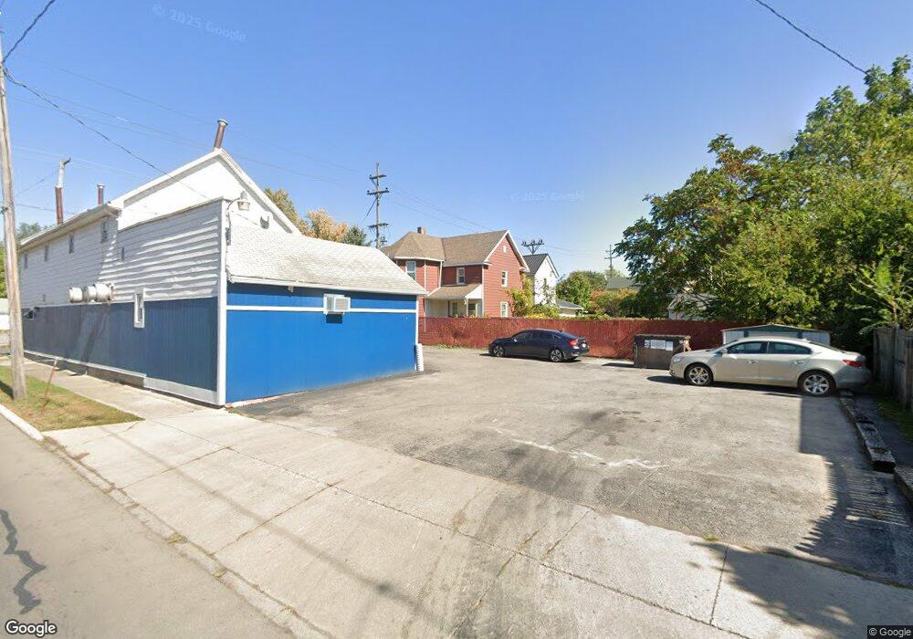
395 Silver St Marion, OH 43302
Estimated Value: $106,000 - $153,000
4
Beds
2
Baths
1,930
Sq Ft
$65/Sq Ft
Est. Value
About This Home
This home is located at 395 Silver St, Marion, OH 43302 and is currently estimated at $125,377, approximately $64 per square foot. 395 Silver St is a home located in Marion County with nearby schools including Rutherford B. Hayes Elementary School, Ulysses S. Grant Middle School, and Harding High School.
Ownership History
Date
Name
Owned For
Owner Type
Purchase Details
Closed on
May 16, 2014
Bought by
Clark Heather
Current Estimated Value
Purchase Details
Closed on
Sep 15, 2004
Bought by
Clark Heather
Purchase Details
Closed on
Apr 22, 2004
Bought by
Clark Heather
Purchase Details
Closed on
Feb 6, 1997
Bought by
Clark Heather
Purchase Details
Closed on
Jan 28, 1997
Bought by
Clark Heather
Purchase Details
Closed on
Mar 23, 1995
Bought by
Clark Heather
Create a Home Valuation Report for This Property
The Home Valuation Report is an in-depth analysis detailing your home's value as well as a comparison with similar homes in the area
Home Values in the Area
Average Home Value in this Area
Purchase History
| Date | Buyer | Sale Price | Title Company |
|---|---|---|---|
| Clark Heather | $20,000 | -- | |
| Clark Heather | $30,000 | -- | |
| Clark Heather | $35,000 | -- | |
| Clark Heather | $44,000 | -- | |
| Clark Heather | $35,000 | -- | |
| Clark Heather | -- | -- |
Source: Public Records
Tax History
| Year | Tax Paid | Tax Assessment Tax Assessment Total Assessment is a certain percentage of the fair market value that is determined by local assessors to be the total taxable value of land and additions on the property. | Land | Improvement |
|---|---|---|---|---|
| 2025 | $824 | $25,620 | $1,660 | $23,960 |
| 2024 | $824 | $21,450 | $1,590 | $19,860 |
| 2023 | $824 | $21,450 | $1,590 | $19,860 |
| 2022 | $765 | $21,450 | $1,590 | $19,860 |
| 2021 | $660 | $16,650 | $1,380 | $15,270 |
| 2020 | $661 | $16,650 | $1,380 | $15,270 |
| 2019 | $661 | $16,650 | $1,380 | $15,270 |
| 2018 | $469 | $11,800 | $1,360 | $10,440 |
| 2017 | $475 | $11,800 | $1,360 | $10,440 |
| 2016 | $471 | $11,800 | $1,360 | $10,440 |
| 2015 | $471 | $11,530 | $1,300 | $10,230 |
| 2014 | $719 | $11,530 | $1,300 | $10,230 |
| 2012 | $957 | $23,260 | $1,370 | $21,890 |
Source: Public Records
Map
Nearby Homes
- 343 Commercial St
- 230 Edwards St
- 138 Park Blvd
- 324 W Church St
- 405 Toledo Ave
- 532 N Prospect St
- 552 N Prospect St
- 531 N Main St
- 374 Nunin Ct
- 641 Blake Ave
- 245 Park Blvd
- 434 N State St
- 805 Silver St
- 302 Blaine Ave
- 321 W Columbia St
- 313 Windsor St
- 213 Sharp St
- 229 W Columbia St
- 347 Blaine Ave
- 212 Short St
Your Personal Tour Guide
Ask me questions while you tour the home.