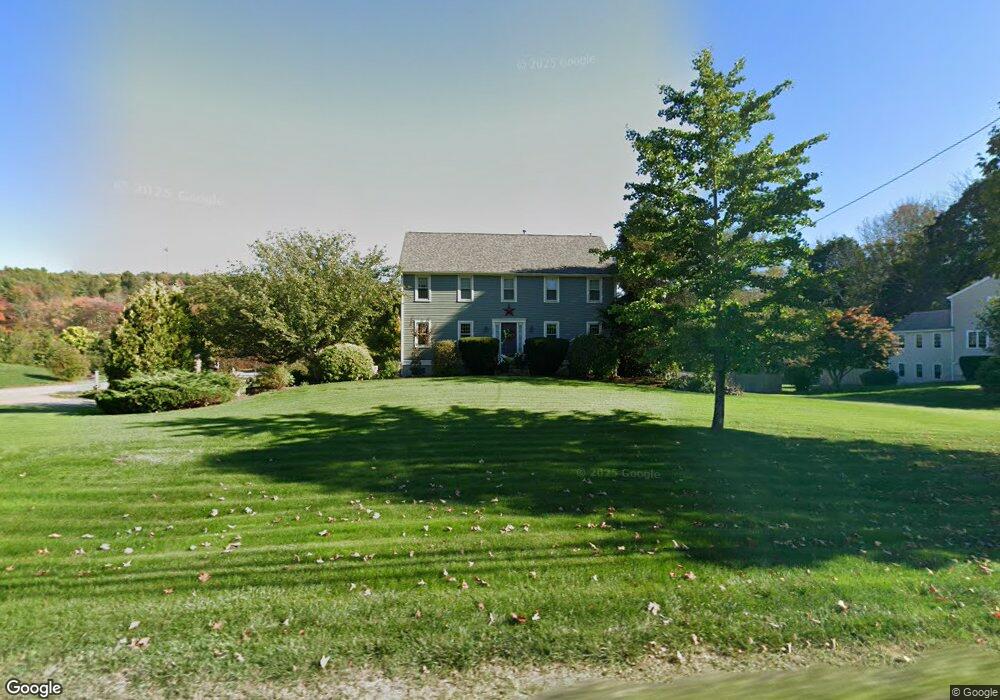
395 South St Wrentham, MA 02093
Estimated Value: $804,000 - $918,000
4
Beds
3
Baths
2,520
Sq Ft
$338/Sq Ft
Est. Value
About This Home
This home is located at 395 South St, Wrentham, MA 02093 and is currently estimated at $852,444, approximately $338 per square foot. 395 South St is a home located in Norfolk County with nearby schools including Delaney Elementary School and Charles E Roderick.
Ownership History
Date
Name
Owned For
Owner Type
Purchase Details
Closed on
Jul 17, 1997
Sold by
Watremez Tr George L
Bought by
Carriage House Constr
Current Estimated Value
Create a Home Valuation Report for This Property
The Home Valuation Report is an in-depth analysis detailing your home's value as well as a comparison with similar homes in the area
Home Values in the Area
Average Home Value in this Area
Purchase History
| Date | Buyer | Sale Price | Title Company |
|---|---|---|---|
| Carriage House Constr | $54,500 | -- |
Source: Public Records
Mortgage History
| Date | Status | Borrower | Loan Amount |
|---|---|---|---|
| Open | Carriage House Constr | $160,000 | |
| Closed | Carriage House Constr | $130,000 | |
| Closed | Carriage House Constr | $135,000 |
Source: Public Records
Tax History Compared to Growth
Tax History
| Year | Tax Paid | Tax Assessment Tax Assessment Total Assessment is a certain percentage of the fair market value that is determined by local assessors to be the total taxable value of land and additions on the property. | Land | Improvement |
|---|---|---|---|---|
| 2025 | $8,635 | $745,000 | $258,200 | $486,800 |
| 2024 | $8,316 | $693,000 | $258,200 | $434,800 |
| 2023 | $8,054 | $638,200 | $234,800 | $403,400 |
| 2022 | $7,957 | $582,100 | $228,300 | $353,800 |
| 2021 | $7,587 | $539,200 | $213,300 | $325,900 |
| 2020 | $7,534 | $528,700 | $162,900 | $365,800 |
| 2019 | $7,232 | $512,200 | $162,900 | $349,300 |
| 2018 | $6,763 | $474,900 | $163,000 | $311,900 |
| 2017 | $6,575 | $461,400 | $159,900 | $301,500 |
| 2016 | $6,486 | $454,200 | $155,200 | $299,000 |
| 2015 | $6,461 | $431,300 | $149,200 | $282,100 |
| 2014 | $6,104 | $398,700 | $143,500 | $255,200 |
Source: Public Records
Map
Nearby Homes
- Lot 1 - Blueberry 2 Car Plan at King Philip Estates
- Lot 8 - Blueberry 2 Car Plan at King Philip Estates
- Lot 5 - Hughes 2 car Plan at King Philip Estates
- Lot 6 - Blueberry 3 Car Plan at King Philip Estates
- Lot 2 - Camden 2 Car Plan at King Philip Estates
- Lot 7 - Cedar Plan at King Philip Estates
- Lot 4 - Hemingway 2 Car Plan at King Philip Estates
- Lot 3 - Blueberry 2 Car Plan at King Philip Estates
- 11 Earle Stewart Ln
- Lot 3 - 14 Earle Stewart Ln
- 131 Creek St Unit 7
- 319 Taunton St
- 791 South St Unit 5
- 10 Nature View Dr
- 15 Nature View Dr
- 570 Franklin St
- 362 East St
- 1 Lorraine Metcalf Dr
- 270 Dedham St
- 120 Hawes St
- 405 South St
- 2 Badus Brook Rd
- 3 Badus Brook Rd
- 418 South St
- 394 South St
- 421 S Street-P V R M
- 421 South St
- 422 South St
- 371 South St
- 382 South St
- 374 South St
- 424 South St
- 5 Eastside Rd
- 5 Eastside Rd Unit 1,1
- 25 Eastside Rd
- 15 Eastside Rd
- 15 Eastside Rd Unit 15
- 364 South St Unit 366
- 363 South St
- 10 High Meadow Rd