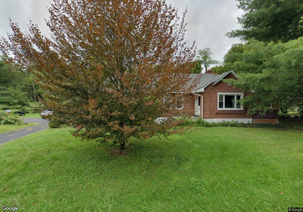
395 Springtown Rd New Paltz, NY 12561
Estimated Value: $282,000 - $516,000
3
Beds
1
Bath
1,728
Sq Ft
$244/Sq Ft
Est. Value
About This Home
This home is located at 395 Springtown Rd, New Paltz, NY 12561 and is currently estimated at $420,893, approximately $243 per square foot. 395 Springtown Rd is a home located in Ulster County with nearby schools including Duzine Elementary School, Lenape Elementary School, and New Paltz Middle School.
Ownership History
Date
Name
Owned For
Owner Type
Purchase Details
Closed on
Sep 11, 2004
Sold by
Wells James and Wells Stephanie
Bought by
Wells James and Wells Stephanie
Current Estimated Value
Home Financials for this Owner
Home Financials are based on the most recent Mortgage that was taken out on this home.
Original Mortgage
$43,000
Interest Rate
5.8%
Mortgage Type
Stand Alone Refi Refinance Of Original Loan
Purchase Details
Closed on
Feb 8, 1999
Sold by
Barnes Robert F
Bought by
Talbert Mark E
Create a Home Valuation Report for This Property
The Home Valuation Report is an in-depth analysis detailing your home's value as well as a comparison with similar homes in the area
Home Values in the Area
Average Home Value in this Area
Purchase History
| Date | Buyer | Sale Price | Title Company |
|---|---|---|---|
| Wells James | -- | Ticor Title Insurance Co | |
| Talbert Mark E | $63,000 | -- |
Source: Public Records
Mortgage History
| Date | Status | Borrower | Loan Amount |
|---|---|---|---|
| Closed | Wells James | $43,000 |
Source: Public Records
Tax History Compared to Growth
Tax History
| Year | Tax Paid | Tax Assessment Tax Assessment Total Assessment is a certain percentage of the fair market value that is determined by local assessors to be the total taxable value of land and additions on the property. | Land | Improvement |
|---|---|---|---|---|
| 2024 | $7,790 | $221,400 | $76,000 | $145,400 |
| 2023 | $7,803 | $221,400 | $76,000 | $145,400 |
| 2022 | $7,196 | $221,400 | $76,000 | $145,400 |
| 2021 | $7,196 | $221,400 | $76,000 | $145,400 |
| 2020 | $6,390 | $221,400 | $76,000 | $145,400 |
| 2019 | $5,760 | $205,000 | $76,000 | $129,000 |
| 2018 | $5,992 | $195,000 | $76,000 | $119,000 |
| 2017 | $5,857 | $195,000 | $158,000 | $37,000 |
| 2016 | $5,809 | $195,000 | $158,000 | $37,000 |
| 2015 | -- | $195,000 | $158,000 | $37,000 |
| 2014 | -- | $195,000 | $158,000 | $37,000 |
Source: Public Records
Map
Nearby Homes
- 332 Springtown Rd
- 482 State Route 32 N
- 110 River Rd
- 239 Springtown Rd
- 632 New York 32
- 718 Springtown Rd
- 131 Mossybrook Rd
- 729 Springtown Rd
- 14 Beech Access Ln
- 69 Mossybrook Rd
- 119 Orchard St
- 792 Springtown Rd
- 332 Mohonk Rd
- 857 Route 32
- 856 Elting Rd
- 46 Shivertown Rd
- 4 Spies Rd
- 6 High Ridge Rd
- 61 Shivertown Rd
- TBD Aqueduct Way
- 397 Springtown Rd
- 393 Springtown Rd
- 399 Springtown Rd
- 391 Springtown Rd
- 387 Springtown Rd
- 384 Springtown Rd
- 381 Springtown Rd Unit 383
- 17 Cereus Way
- 380 Springtown Rd
- 65 Cereus Way
- 374 Springtown Rd
- 69 Cereus Way
- 377 Springtown Rd
- 62 Cereus Way
- 375 Springtown Rd
- 70 Cereus Way
- 76 Cereus Way
- 74 Cereus Way
- 431 Springtown Rd
- 21 Ali Way