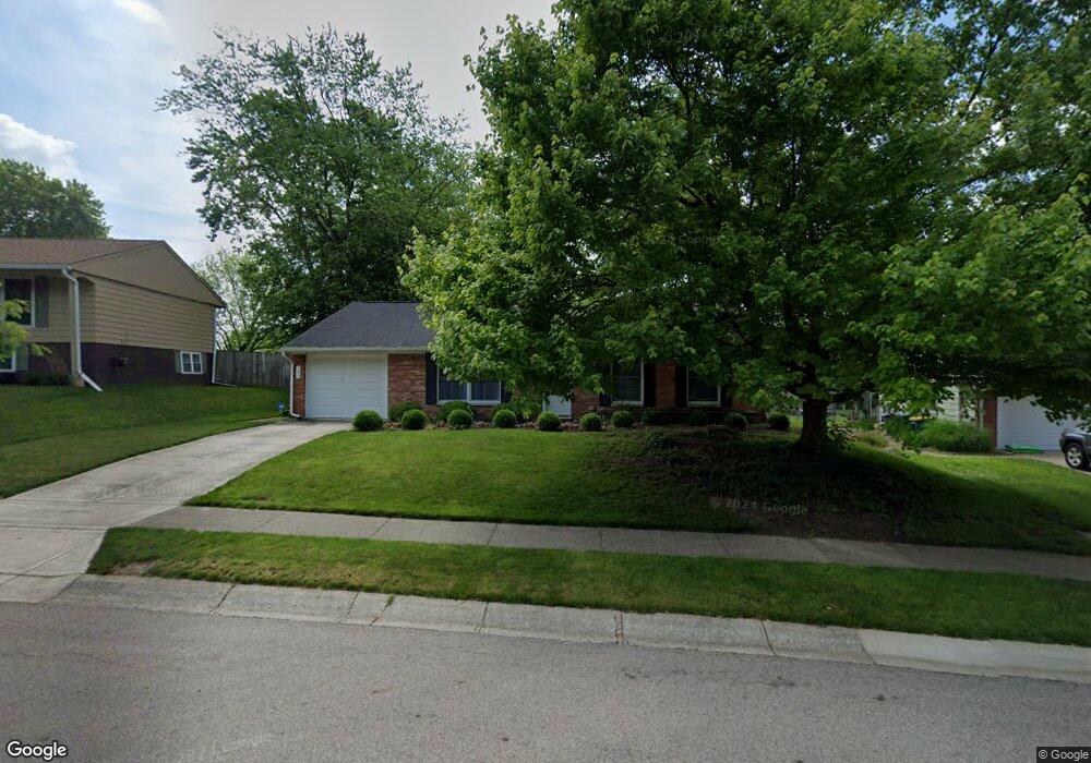
395 Tamarack Trail Springboro, OH 45066
Estimated Value: $256,624 - $289,000
2
Beds
2
Baths
1,256
Sq Ft
$217/Sq Ft
Est. Value
About This Home
This home is located at 395 Tamarack Trail, Springboro, OH 45066 and is currently estimated at $273,156, approximately $217 per square foot. 395 Tamarack Trail is a home located in Warren County with nearby schools including Clearcreek Elementary School, Springboro Intermediate School, and Dennis Elementary School.
Ownership History
Date
Name
Owned For
Owner Type
Purchase Details
Closed on
Jun 28, 2012
Sold by
Zimmer Ellen Jane
Bought by
Zimmer Brothers Holdings Llc
Current Estimated Value
Purchase Details
Closed on
Aug 4, 1986
Sold by
Daniels Herbert F and Daniels Alp
Bought by
Zimmer and Ellen Jane
Purchase Details
Closed on
Mar 15, 1982
Sold by
Monroe Country Estates & I
Purchase Details
Closed on
Oct 26, 1981
Sold by
Staton Staton and Staton Larry R
Create a Home Valuation Report for This Property
The Home Valuation Report is an in-depth analysis detailing your home's value as well as a comparison with similar homes in the area
Home Values in the Area
Average Home Value in this Area
Purchase History
| Date | Buyer | Sale Price | Title Company |
|---|---|---|---|
| Zimmer Brothers Holdings Llc | $100,000 | None Available | |
| Zimmer | $60,000 | -- | |
| -- | $53,900 | -- | |
| -- | $55,000 | -- |
Source: Public Records
Tax History Compared to Growth
Tax History
| Year | Tax Paid | Tax Assessment Tax Assessment Total Assessment is a certain percentage of the fair market value that is determined by local assessors to be the total taxable value of land and additions on the property. | Land | Improvement |
|---|---|---|---|---|
| 2024 | $2,735 | $68,310 | $26,250 | $42,060 |
| 2023 | $2,251 | $52,360 | $16,520 | $35,840 |
| 2022 | $2,251 | $52,360 | $16,520 | $35,840 |
| 2021 | $2,095 | $52,360 | $16,520 | $35,840 |
| 2020 | $2,033 | $44,373 | $14,000 | $30,373 |
| 2019 | $1,878 | $44,373 | $14,000 | $30,373 |
| 2018 | $1,880 | $44,373 | $14,000 | $30,373 |
| 2017 | $1,731 | $36,803 | $11,771 | $25,032 |
| 2016 | $1,805 | $36,803 | $11,771 | $25,032 |
| 2015 | $1,809 | $36,803 | $11,771 | $25,032 |
| 2014 | -- | $35,390 | $11,320 | $24,070 |
| 2013 | $1,836 | $43,770 | $14,000 | $29,770 |
Source: Public Records
Map
Nearby Homes
- 375 Tamarack Trail
- 420 Clearcreek Franklin Rd
- 120 Bramblebush Ln
- 450 Evergreen Dr
- 180 Teakwood Ln
- 145 Cedar Hill Ln
- 510 Royal Springs Dr
- 120 Clearview Dr
- 23 Pheasant Run Cir Unit 9A
- 20 Terradyne Trace
- 150 Tanglewood Dr
- 15 Belvoir Ct
- 145 Redbud Dr
- 14 Ed Knoll Bend
- The McPherson Plan at Wadestone - Designer Collection
- Winslow Plan at Wadestone - Masterpiece Collection
- Avery Plan at Wadestone - Designer Collection
- Emmett Plan at Wadestone - Designer Collection
- Rhodes Plan at Wadestone - Masterpiece Collection
- Carrington Plan at Wadestone - Designer Collection
- 405 Tamarack Trail
- 385 Tamarack Trail
- 345 Teakwood Ln
- 355 Teakwood Ln
- 335 Teakwood Ln
- 230 Bramblebush Ln
- 220 Bramblebush Ln
- 365 Teakwood Ln
- 220 Bramble Bush Ln
- 400 Tamarack Trail
- 390 Tamarack Trail
- 325 Teakwood Ln
- 410 Tamarack Trail
- 210 Bramblebush Ln
- 380 Tamarack Trail
- 355 Tamarack Trail
- 330 Teakwood Ln
- 375 Teakwood Ln
- 370 Tamarack Trail
- 370 Tamarack Trail