395 W MacAda Rd Bethlehem, PA 18017
Estimated Value: $778,000 - $1,814,000
4
Beds
5
Baths
7,100
Sq Ft
$186/Sq Ft
Est. Value
About This Home
This home is located at 395 W MacAda Rd, Bethlehem, PA 18017 and is currently estimated at $1,317,961, approximately $185 per square foot. 395 W MacAda Rd is a home located in Northampton County with nearby schools including Asa Packer Elementary School, Nitschmann Middle School, and Liberty High School.
Ownership History
Date
Name
Owned For
Owner Type
Purchase Details
Closed on
Jan 26, 2016
Sold by
Koch Jennifer Lee and Dunham David
Bought by
Koch Jennifer L
Current Estimated Value
Home Financials for this Owner
Home Financials are based on the most recent Mortgage that was taken out on this home.
Original Mortgage
$245,000
Outstanding Balance
$195,752
Interest Rate
4.02%
Mortgage Type
New Conventional
Estimated Equity
$1,122,209
Purchase Details
Closed on
Dec 22, 2011
Sold by
Ashford Robert C and Ashford Sarina A
Bought by
Dunham David and Koch Jennifer Lee
Purchase Details
Closed on
May 26, 2004
Sold by
Amato Ronald
Bought by
Ashford Robert
Home Financials for this Owner
Home Financials are based on the most recent Mortgage that was taken out on this home.
Original Mortgage
$333,000
Interest Rate
5.94%
Mortgage Type
New Conventional
Create a Home Valuation Report for This Property
The Home Valuation Report is an in-depth analysis detailing your home's value as well as a comparison with similar homes in the area
Home Values in the Area
Average Home Value in this Area
Purchase History
| Date | Buyer | Sale Price | Title Company |
|---|---|---|---|
| Koch Jennifer L | -- | None Available | |
| Dunham David | $938,000 | None Available | |
| Ashford Robert | $949,000 | -- |
Source: Public Records
Mortgage History
| Date | Status | Borrower | Loan Amount |
|---|---|---|---|
| Open | Koch Jennifer L | $245,000 | |
| Previous Owner | Ashford Robert | $333,000 |
Source: Public Records
Tax History Compared to Growth
Tax History
| Year | Tax Paid | Tax Assessment Tax Assessment Total Assessment is a certain percentage of the fair market value that is determined by local assessors to be the total taxable value of land and additions on the property. | Land | Improvement |
|---|---|---|---|---|
| 2025 | $2,739 | $253,600 | $45,000 | $208,600 |
| 2024 | $18,487 | $253,600 | $45,000 | $208,600 |
| 2023 | $18,551 | $253,600 | $45,000 | $208,600 |
| 2022 | $18,376 | $253,600 | $45,000 | $208,600 |
| 2021 | $18,226 | $253,600 | $45,000 | $208,600 |
| 2020 | $18,249 | $253,600 | $45,000 | $208,600 |
| 2019 | $18,176 | $253,600 | $45,000 | $208,600 |
| 2018 | $17,815 | $253,600 | $45,000 | $208,600 |
| 2017 | $17,689 | $253,600 | $45,000 | $208,600 |
| 2016 | -- | $253,600 | $45,000 | $208,600 |
| 2015 | -- | $253,600 | $45,000 | $208,600 |
| 2014 | -- | $253,600 | $45,000 | $208,600 |
Source: Public Records
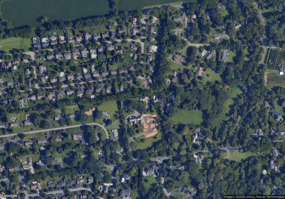
Map
Nearby Homes
- 2860 Center St
- 2616 Pioneer Rd
- 3217 Center St
- 922 Wedgewood Rd
- 1075 W MacAda Rd
- 809 Overlook Dr
- 445 Barclay Dr
- 1215 W MacAda Rd
- 1069 Resolution Dr
- 3450 Park Place
- 960 Yorkshire Dr
- 1179 Blair Rd
- 0 Rosewood Dr Unit 766427
- 1970 Rosewood Dr Unit Lot 6
- 2850 Red Oak Ln
- 2392 Jacksonville Rd
- 353 Bierys Bridge Rd
- 766 Barrymore Ln
- 1305 Statten Ave
- 1410 Stoke Park Rd
- 294 Wedgewood Rd
- 383 W MacAda Rd
- 200 W MacAda Rd
- 274 Wedgewood Rd
- 300 W MacAda Rd
- 274 Hidden Hill Dr
- 265 Hidden Hill Dr
- 264 Wedgewood Rd
- 255 Wedgewood Rd
- 400 W MacAda Rd
- 185 W MacAda Rd
- 260 Hidden Hill Dr
- 330 Wedgewood Rd
- 254 Wedgewood Rd
- 100 W MacAda Rd
- 536 Angelo Dr
- 525 Angelo Dr
- 244 Wedgewood Rd
- 355 Wedgewood Rd
- 150 W MacAda Rd