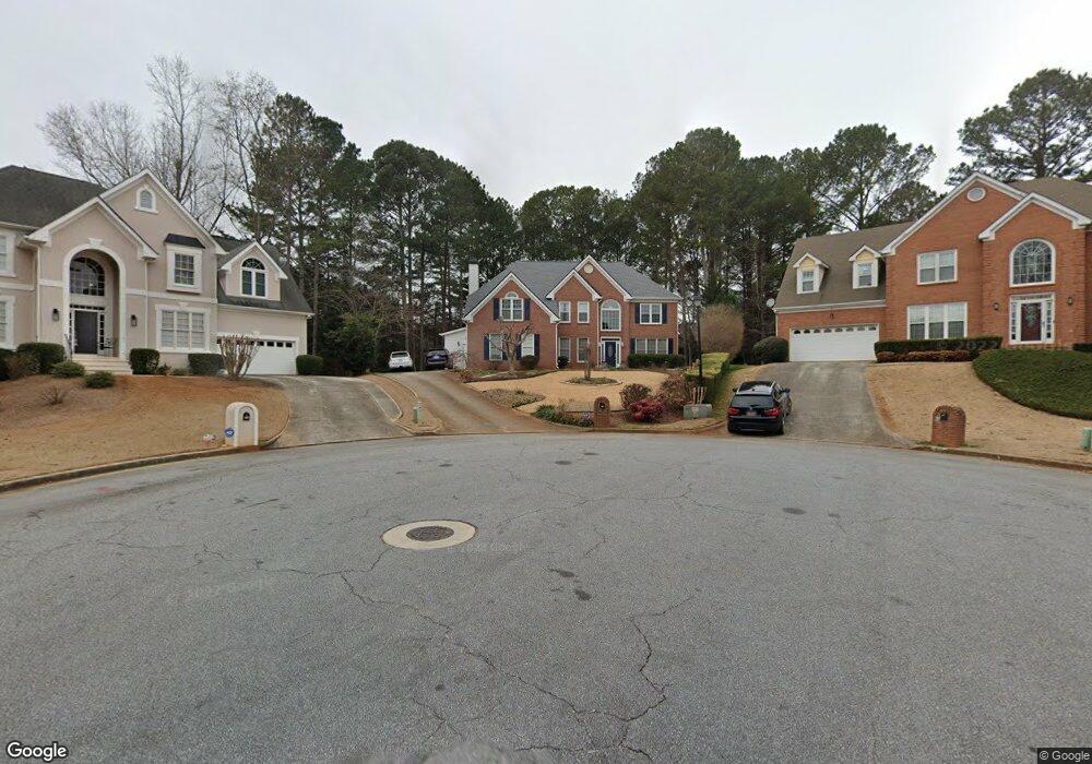
395 Wesfork Way Unit 2 Suwanee, GA 30024
Estimated Value: $495,000 - $547,000
4
Beds
3
Baths
3,085
Sq Ft
$166/Sq Ft
Est. Value
About This Home
This home is located at 395 Wesfork Way Unit 2, Suwanee, GA 30024 and is currently estimated at $512,086, approximately $165 per square foot. 395 Wesfork Way Unit 2 is a home located in Gwinnett County with nearby schools including Walnut Grove Elementary School, Creekland Middle School, and Collins Hill High School.
Ownership History
Date
Name
Owned For
Owner Type
Purchase Details
Closed on
Oct 13, 2000
Sold by
Montero Francisco M and Montero Angela T
Bought by
Lopez John A and Lopez Unmi H
Current Estimated Value
Home Financials for this Owner
Home Financials are based on the most recent Mortgage that was taken out on this home.
Original Mortgage
$156,800
Outstanding Balance
$55,810
Interest Rate
7.96%
Mortgage Type
New Conventional
Estimated Equity
$456,276
Purchase Details
Closed on
Apr 12, 1996
Sold by
Kyryk Stephen W Mary B
Bought by
Mantero Franciso Manual An
Create a Home Valuation Report for This Property
The Home Valuation Report is an in-depth analysis detailing your home's value as well as a comparison with similar homes in the area
Home Values in the Area
Average Home Value in this Area
Purchase History
| Date | Buyer | Sale Price | Title Company |
|---|---|---|---|
| Lopez John A | $196,000 | -- | |
| Mantero Franciso Manual An | $176,900 | -- |
Source: Public Records
Mortgage History
| Date | Status | Borrower | Loan Amount |
|---|---|---|---|
| Open | Lopez John A | $156,800 | |
| Closed | Mantero Franciso Manual An | $0 |
Source: Public Records
Tax History Compared to Growth
Tax History
| Year | Tax Paid | Tax Assessment Tax Assessment Total Assessment is a certain percentage of the fair market value that is determined by local assessors to be the total taxable value of land and additions on the property. | Land | Improvement |
|---|---|---|---|---|
| 2025 | $900 | $191,520 | $28,000 | $163,520 |
| 2024 | $4,973 | $187,560 | $44,000 | $143,560 |
| 2023 | $4,973 | $173,080 | $40,400 | $132,680 |
| 2022 | $4,216 | $152,440 | $35,200 | $117,240 |
| 2021 | $3,734 | $125,840 | $27,600 | $98,240 |
| 2020 | $3,590 | $117,880 | $25,400 | $92,480 |
| 2019 | $3,511 | $117,880 | $25,400 | $92,480 |
| 2018 | $3,516 | $117,880 | $25,400 | $92,480 |
| 2016 | $3,075 | $96,440 | $19,600 | $76,840 |
| 2015 | $3,101 | $96,440 | $19,600 | $76,840 |
| 2014 | $2,644 | $75,000 | $18,000 | $57,000 |
Source: Public Records
Map
Nearby Homes
- 2315 Prosperity Way Unit 2
- 327 Lee Miller Dr
- 318 Lee Miller Dr
- 318 Arbour Way Unit 4
- 2140 Deer Trail
- 619 Kenridge Way
- 267 Arbour Way
- 2305 Compton Place
- 2265 Wildwood Lake Dr
- 2372 Merrymount Dr Unit 2
- 1953 Frisco Way
- 2124 York River Way Unit 1
- 727 Eight Point Ct
- 2538 Brynfield Cove
- 2105 Tropicana Dr
- 2470 Jakin Way
- 2538 Brentmoor Ct
- 385 Wesfork Way Unit 2
- 390 Wesfork Way
- 520 Shore Dr
- 500 Shore Dr
- 2290 Marshland Ct
- 375 Wesfork Way
- 380 Wesfork Way
- 380 Wesfork Way Unit 380
- 540 Shore Dr
- 2326 Wesfork Ct Unit 2
- 365 Wesfork Way
- 470 Shore Dr
- 2280 Marshland Ct
- 2295 Marshland Ct Unit 2
- 541 Shore Dr
- 550 Shore Dr
- 355 Wesfork Way NW
- 2333 Wesfork Ct
- 521 Shore Dr
- 2316 Wesfork Ct Unit 2