3950 Highway 49 N Concord, NC 28025
Estimated Value: $289,000 - $587,000
2
Beds
1
Bath
1,914
Sq Ft
$206/Sq Ft
Est. Value
About This Home
This home is located at 3950 Highway 49 N, Concord, NC 28025 and is currently estimated at $395,072, approximately $206 per square foot. 3950 Highway 49 N is a home located in Cabarrus County with nearby schools including A.T. Allen Elementary School, Mount Pleasant Middle School, and Mount Pleasant High School.
Ownership History
Date
Name
Owned For
Owner Type
Purchase Details
Closed on
Oct 17, 2019
Sold by
Walters Clarence Patterson
Bought by
Walters Metzl Kelly and Metzl Ronald
Current Estimated Value
Home Financials for this Owner
Home Financials are based on the most recent Mortgage that was taken out on this home.
Original Mortgage
$97,000
Interest Rate
3.4%
Mortgage Type
Commercial
Purchase Details
Closed on
Jan 26, 2011
Sold by
Walters Clarence P and Walters Clarence
Bought by
Walters Clarence Patterson and Anglers Family Trust
Create a Home Valuation Report for This Property
The Home Valuation Report is an in-depth analysis detailing your home's value as well as a comparison with similar homes in the area
Home Values in the Area
Average Home Value in this Area
Purchase History
| Date | Buyer | Sale Price | Title Company |
|---|---|---|---|
| Walters Metzl Kelly | $200,000 | None Available | |
| Walters Clarence Patterson | -- | None Available |
Source: Public Records
Mortgage History
| Date | Status | Borrower | Loan Amount |
|---|---|---|---|
| Closed | Walters Metzl Kelly | $97,000 |
Source: Public Records
Tax History
| Year | Tax Paid | Tax Assessment Tax Assessment Total Assessment is a certain percentage of the fair market value that is determined by local assessors to be the total taxable value of land and additions on the property. | Land | Improvement |
|---|---|---|---|---|
| 2025 | $2,052 | $299,140 | $126,080 | $173,060 |
| 2024 | $2,052 | $299,140 | $126,080 | $173,060 |
| 2023 | $1,413 | $166,200 | $86,260 | $79,940 |
| 2022 | $1,325 | $159,640 | $86,260 | $73,380 |
| 2021 | $1,301 | $159,640 | $86,260 | $73,380 |
| 2020 | $1,301 | $159,640 | $86,260 | $73,380 |
| 2019 | $1,190 | $146,060 | $82,040 | $64,020 |
| 2018 | $1,161 | $146,060 | $82,040 | $64,020 |
| 2017 | $1,103 | $146,060 | $82,040 | $64,020 |
| 2016 | -- | $152,190 | $82,040 | $70,150 |
| 2015 | -- | $152,190 | $82,040 | $70,150 |
| 2014 | -- | $152,190 | $82,040 | $70,150 |
Source: Public Records
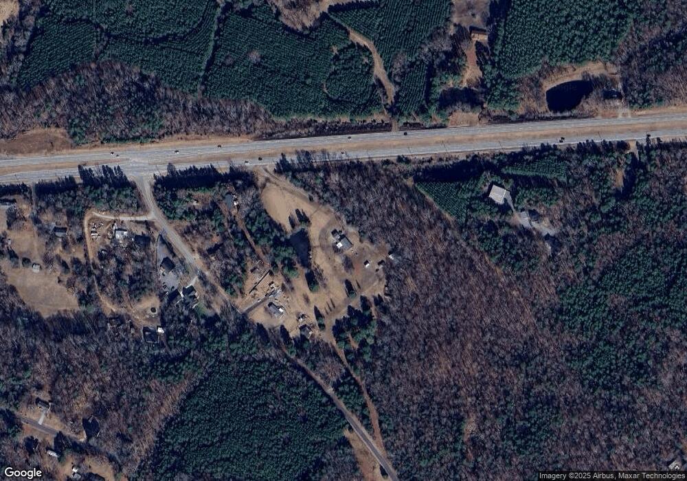
Map
Nearby Homes
- 2750 & 2760 Tilley Rd
- 1695 Lemming Dr
- 1930 Cold Springs Rd
- 3261 Fairmead Dr
- 5123 Beckenham Ln
- 1800 Lake Lynn Rd
- 2365 Baxter Place SE
- 3225 Fairmead Dr
- 2909 Arbor Knoll
- 3109 Fairmead Dr
- 2628 State Highway 49
- 2568 Chelsea Dr
- 425 Krimminger Ave SE
- 1162 Crestmont Dr SE
- 1160 Crestmont Dr SE Unit A3
- 207 Krimminger Ave SE
- 2795 Cold Springs Rd
- 1144 Tangle Ridge Dr SE
- 1223 Walker Rd
- 3354 Westview Rd
- 2475 Tilley Rd
- 2413 Tilley Rd
- 2405 Tilley Rd
- 2443 Tilley Rd
- 2395 Tilley Rd
- 2521 Tilley Rd
- 2345 Tilley Rd
- 2931 Tilley Rd
- 4280 Highway 49 N
- 2380 Tilley Rd
- 4300 Highway 49 N
- 2338 Tilley Rd
- 2346 Tilley Rd
- 2328 Tilley Rd
- 4334 Old Airport Rd
- 4334 Old Airport Rd
- 4080 Old Airport Rd
- 4080 Old Airport Rd
- 2600 Tilley Rd
- 0 Tilley Rd Unit 2178431
Your Personal Tour Guide
Ask me questions while you tour the home.