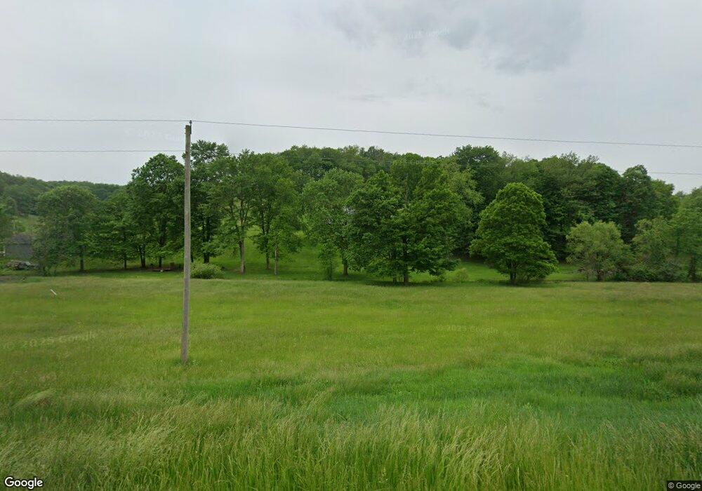
3950 Wolf Rd SW Port Washington, OH 43837
Estimated Value: $238,000 - $340,000
3
Beds
4
Baths
1,884
Sq Ft
$150/Sq Ft
Est. Value
About This Home
This home is located at 3950 Wolf Rd SW, Port Washington, OH 43837 and is currently estimated at $281,934, approximately $149 per square foot. 3950 Wolf Rd SW is a home located in Tuscarawas County with nearby schools including Port Washington Elementary School, Tuscarawas Middle School, and Indian Valley High School.
Ownership History
Date
Name
Owned For
Owner Type
Purchase Details
Closed on
Aug 30, 2006
Sold by
Thompson Kevin and Thompson Elizabeth A
Bought by
Brown Tracy
Current Estimated Value
Home Financials for this Owner
Home Financials are based on the most recent Mortgage that was taken out on this home.
Original Mortgage
$135,920
Outstanding Balance
$82,555
Interest Rate
6.88%
Mortgage Type
Purchase Money Mortgage
Estimated Equity
$199,379
Purchase Details
Closed on
Apr 4, 2002
Sold by
Bank One Natl Assn Trust
Bought by
Frye Elizabeth A
Home Financials for this Owner
Home Financials are based on the most recent Mortgage that was taken out on this home.
Original Mortgage
$109,705
Interest Rate
6.87%
Mortgage Type
New Conventional
Purchase Details
Closed on
Dec 31, 1998
Sold by
Frye Kippton R
Bought by
Frye Elizabeth A
Purchase Details
Closed on
May 25, 1994
Sold by
York Thomas J
Bought by
King Elizabeth A and King Gregory A
Create a Home Valuation Report for This Property
The Home Valuation Report is an in-depth analysis detailing your home's value as well as a comparison with similar homes in the area
Home Values in the Area
Average Home Value in this Area
Purchase History
| Date | Buyer | Sale Price | Title Company |
|---|---|---|---|
| Brown Tracy | $169,900 | None Available | |
| Frye Elizabeth A | $115,500 | -- | |
| Frye Elizabeth A | -- | -- | |
| King Elizabeth A | $2,500 | -- |
Source: Public Records
Mortgage History
| Date | Status | Borrower | Loan Amount |
|---|---|---|---|
| Open | Brown Tracy | $135,920 | |
| Previous Owner | Frye Elizabeth A | $109,705 |
Source: Public Records
Tax History Compared to Growth
Tax History
| Year | Tax Paid | Tax Assessment Tax Assessment Total Assessment is a certain percentage of the fair market value that is determined by local assessors to be the total taxable value of land and additions on the property. | Land | Improvement |
|---|---|---|---|---|
| 2024 | $2,518 | $66,810 | $9,450 | $57,360 |
| 2023 | $2,518 | $190,880 | $27,000 | $163,880 |
| 2022 | $2,398 | $66,808 | $9,450 | $57,358 |
| 2021 | $2,271 | $59,802 | $11,162 | $48,640 |
| 2020 | $2,296 | $59,802 | $11,162 | $48,640 |
| 2019 | $2,308 | $59,802 | $11,162 | $48,640 |
| 2018 | $2,425 | $59,800 | $11,160 | $48,640 |
| 2017 | $2,430 | $59,800 | $11,160 | $48,640 |
| 2016 | $2,440 | $59,800 | $11,160 | $48,640 |
| 2014 | $2,324 | $55,230 | $6,890 | $48,340 |
| 2013 | $2,286 | $55,230 | $6,890 | $48,340 |
Source: Public Records
Map
Nearby Homes
- 9817 Frank Rd SW
- 3767 Wolf Rd SW
- 0 Wolf Rd
- 9509 Frank Rd SW
- 9433 Frank Rd SW
- 3581 Wolf Rd SW
- 4715 W Hill Rd SW
- 4739 W Hill Rd SW
- 4563 Wolf Rd SW
- 4580 Wolf Rd SW
- 3404 Port Washington Rd SW
- 413 N Saint Clairsville Rd
- 417 N Saint Clairsville Rd
- 3631 Wolf Rd SW
- 4768 W Hill Rd SW
- 4768 W Hill Rd SW
- 3611 Wolf Rd SW
- 4638 Wolf Rd SW
- 4887 W Hill Rd SW
- 4840 W Hill Rd SW
