3951 12th St Wayland, MI 49348
Estimated Value: $337,000 - $450,551
4
Beds
4
Baths
1,538
Sq Ft
$251/Sq Ft
Est. Value
About This Home
This home is located at 3951 12th St, Wayland, MI 49348 and is currently estimated at $385,850, approximately $250 per square foot. 3951 12th St is a home located in Allegan County with nearby schools including Wayland High School, Moline Christian School, and St. Therese Catholic School.
Ownership History
Date
Name
Owned For
Owner Type
Purchase Details
Closed on
Dec 17, 2025
Sold by
Weaver Jeffrey Donald and Weaver Rebecca Anne
Bought by
Weaver Revocable Trust and Weaver
Current Estimated Value
Purchase Details
Closed on
Sep 24, 2003
Sold by
Dehaan Stanley J and Dehaan Barbara N
Bought by
Weaver Jeffrey Donald and Weaver Rebecca A
Home Financials for this Owner
Home Financials are based on the most recent Mortgage that was taken out on this home.
Original Mortgage
$28,900
Interest Rate
6.4%
Mortgage Type
Purchase Money Mortgage
Create a Home Valuation Report for This Property
The Home Valuation Report is an in-depth analysis detailing your home's value as well as a comparison with similar homes in the area
Home Values in the Area
Average Home Value in this Area
Purchase History
| Date | Buyer | Sale Price | Title Company |
|---|---|---|---|
| Weaver Revocable Trust | -- | None Listed On Document | |
| Weaver Jeffrey Donald | $27,900 | Chicago Title |
Source: Public Records
Mortgage History
| Date | Status | Borrower | Loan Amount |
|---|---|---|---|
| Previous Owner | Weaver Jeffrey Donald | $28,900 |
Source: Public Records
Tax History
| Year | Tax Paid | Tax Assessment Tax Assessment Total Assessment is a certain percentage of the fair market value that is determined by local assessors to be the total taxable value of land and additions on the property. | Land | Improvement |
|---|---|---|---|---|
| 2025 | $3,634 | $199,500 | $24,600 | $174,900 |
| 2024 | $3,303 | $192,400 | $21,200 | $171,200 |
| 2023 | $3,303 | $177,900 | $21,200 | $156,700 |
| 2022 | $3,303 | $159,300 | $22,200 | $137,100 |
| 2021 | $2,749 | $136,400 | $22,200 | $114,200 |
| 2020 | $2,722 | $128,100 | $22,200 | $105,900 |
| 2019 | $2,642 | $107,500 | $20,400 | $87,100 |
| 2018 | $2,545 | $100,200 | $20,400 | $79,800 |
| 2017 | $0 | $95,500 | $20,400 | $75,100 |
| 2016 | $0 | $82,700 | $20,400 | $62,300 |
| 2015 | -- | $82,700 | $20,400 | $62,300 |
| 2014 | -- | $86,800 | $19,200 | $67,600 |
| 2013 | $2,907 | $86,100 | $19,200 | $66,900 |
Source: Public Records
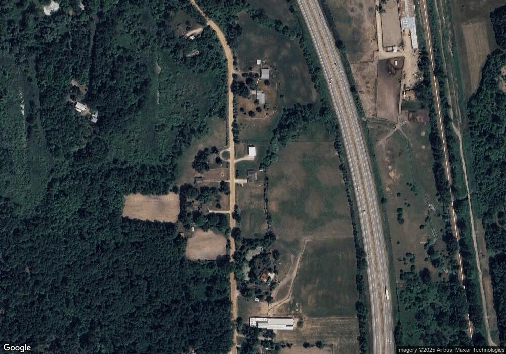
Map
Nearby Homes
- 3770 Division Ave S
- 4243 Butternut Dr
- 4245 Butternut Dr
- 4249 Butternut Dr
- 1033 Aster St
- Lot 120 Old Farm Dr
- 4273 Highpoint Dr Unit 112
- 4269 Highpoint Dr Unit 114
- 4271 Highpoint Dr Unit 113
- 4294 Highpoint Dr Unit 103
- 4279 Highpoint Dr
- 1069 Sunnyside Dr
- 1146 Saskatoon Trail
- 4316 Sussex Place
- Lot 131 Butternut Dr
- 4335 Tavistock Dr
- 1125 Russell St
- 1137 Regina Trail
- 545 N Main St
- 409 W Maple St
Your Personal Tour Guide
Ask me questions while you tour the home.