3951 Roy Malcom Spur Social Circle, GA 30025
Estimated Value: $149,606 - $338,000
--
Bed
--
Bath
--
Sq Ft
7.33
Acres
About This Home
This home is located at 3951 Roy Malcom Spur, Social Circle, GA 30025 and is currently estimated at $239,202. 3951 Roy Malcom Spur is a home located in Walton County with nearby schools including Harmony Elementary School, Carver Middle School, and Monroe Area High School.
Ownership History
Date
Name
Owned For
Owner Type
Purchase Details
Closed on
Oct 4, 2016
Sold by
Derry M Ex Officio Sh
Bought by
Hawkins Joseph S
Current Estimated Value
Purchase Details
Closed on
Jun 7, 2011
Sold by
Ex-Officio Sheriff Of Walton C
Bought by
Peters Douglas E
Purchase Details
Closed on
May 2, 2007
Sold by
Peters Robert A
Bought by
Jh Peters Trucking Inc
Home Financials for this Owner
Home Financials are based on the most recent Mortgage that was taken out on this home.
Original Mortgage
$62,628
Interest Rate
6.12%
Mortgage Type
Stand Alone Second
Create a Home Valuation Report for This Property
The Home Valuation Report is an in-depth analysis detailing your home's value as well as a comparison with similar homes in the area
Home Values in the Area
Average Home Value in this Area
Purchase History
| Date | Buyer | Sale Price | Title Company |
|---|---|---|---|
| Hawkins Joseph S | $16,000 | -- | |
| Peters Douglas E | $3,388 | -- | |
| Jh Peters Trucking Inc | -- | -- |
Source: Public Records
Mortgage History
| Date | Status | Borrower | Loan Amount |
|---|---|---|---|
| Previous Owner | Jh Peters Trucking Inc | $62,628 |
Source: Public Records
Tax History Compared to Growth
Tax History
| Year | Tax Paid | Tax Assessment Tax Assessment Total Assessment is a certain percentage of the fair market value that is determined by local assessors to be the total taxable value of land and additions on the property. | Land | Improvement |
|---|---|---|---|---|
| 2024 | $1,549 | $52,560 | $52,560 | $0 |
| 2023 | $1,515 | $49,960 | $49,960 | $0 |
| 2022 | $1,458 | $46,120 | $46,120 | $0 |
| 2021 | $1,178 | $36,160 | $36,160 | $0 |
| 2020 | $1,040 | $31,120 | $31,120 | $0 |
| 2019 | $957 | $27,640 | $27,640 | $0 |
| 2018 | $924 | $27,640 | $27,640 | $0 |
| 2017 | $952 | $27,640 | $27,640 | $0 |
| 2016 | $733 | $21,600 | $21,600 | $0 |
| 2015 | $745 | $21,600 | $21,600 | $0 |
| 2014 | $664 | $18,760 | $0 | $0 |
Source: Public Records
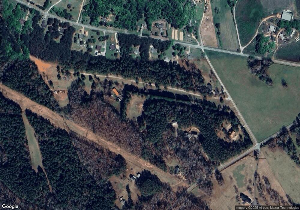
Map
Nearby Homes
- 0 Social Circle Fairplay Rd Unit 7662271
- 0 Social Circle Fairplay Rd Unit 10620284
- 1526 N Cherokee Rd
- 539 Meadows Ln
- 1302 N Cherokee Rd
- 180 River Meadow
- 342 Orwell Drive Lot 95
- 190 Orwell Dr
- 190 Orwell Dr Unit 102
- 684 N Cherokee Rd
- 0 Thurman Baccus Rd Unit 10438526
- 4685 Hawkins Academy Rd
- 1013 Amber Stapp Studdard Rd
- 4841 Partee Trail
- 487 N Cherokee Rd
- 341 Boxwood St
- 4601 Parkwood Rd
- 247 Highway 11
- 690 Park Place Way
- 695 Park Place Way
- 1419 Roy Malcom Rd
- 1429 Roy Malcom Rd
- 1431 Roy Malcom Rd
- 1402 Social Circle Fairplay Rd
- 3921 Roy Malcom Spur
- 1442 Social Circle Fairplay Rd
- 1422 Social Circle Fairplay Rd
- 1382 Social Circle Fairplay Rd
- 3961 Roy Malcom Spur
- 1482 Social Circle Fairplay Rd
- 1411 Social Circle Fairplay Rd
- 1462 Social Circle Fairplay Rd
- 1441 Social Circle Fairplay Rd
- 1421 Social Circle Fairplay Rd
- 3931 Roy Malcom Spur
- Lot 2A Social Circle Fairplay Rd
- Lot 5A Social Circle Fairplay Rd
- LOT 5 Social Circle Fairplay Rd
- Lot 3B Social Circle Fairplay Rd
- Lot 3A Social Circle Fairplay Rd