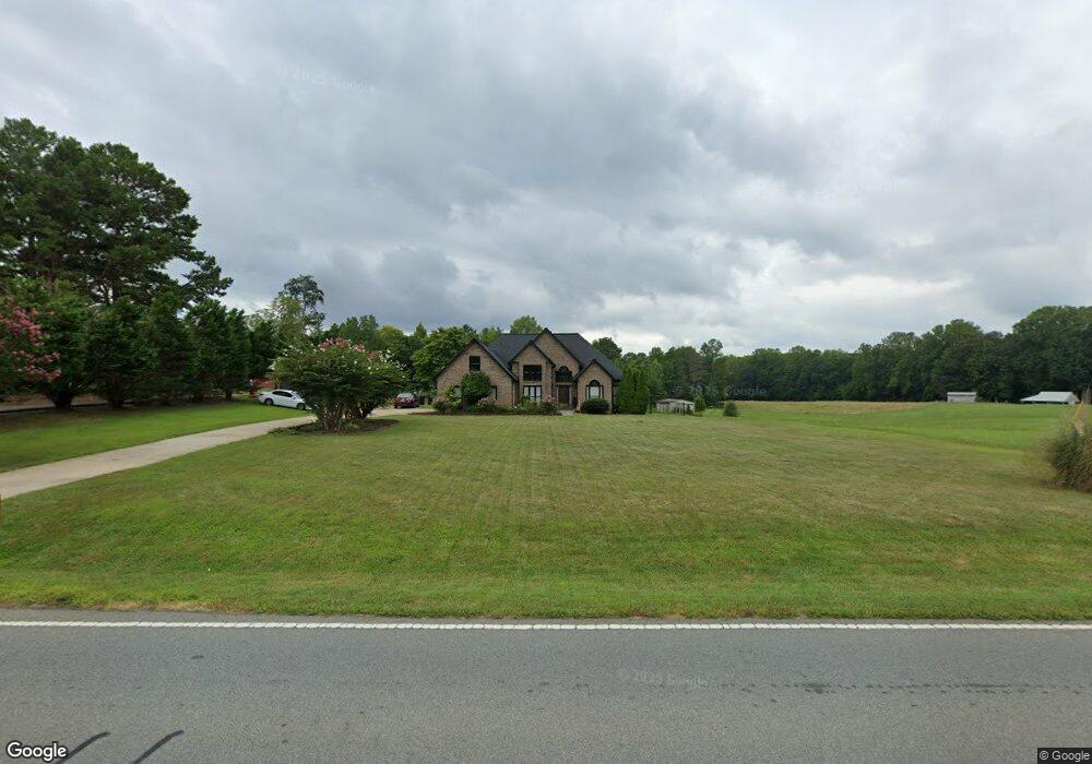
3952 Highway 73 Iron Station, NC 28080
Estimated Value: $282,000 - $529,000
3
Beds
2
Baths
1,869
Sq Ft
$228/Sq Ft
Est. Value
About This Home
This home is located at 3952 Highway 73, Iron Station, NC 28080 and is currently estimated at $426,783, approximately $228 per square foot. 3952 Highway 73 is a home located in Lincoln County with nearby schools including St. James Elementary School, East Lincoln Middle School, and East Lincoln High School.
Ownership History
Date
Name
Owned For
Owner Type
Purchase Details
Closed on
Feb 18, 2008
Sold by
Dula Gregory L and Dula Candi R
Bought by
Duis Gregory L and Duis Candi R
Current Estimated Value
Purchase Details
Closed on
Mar 31, 2004
Bought by
Dula Gregory L and Dula Candi R
Purchase Details
Closed on
Mar 12, 1999
Bought by
Cook Keith P and Cook Crystal M
Create a Home Valuation Report for This Property
The Home Valuation Report is an in-depth analysis detailing your home's value as well as a comparison with similar homes in the area
Home Values in the Area
Average Home Value in this Area
Purchase History
| Date | Buyer | Sale Price | Title Company |
|---|---|---|---|
| Duis Gregory L | -- | Heritage Title Llc | |
| Dula Gregory L | $173,300 | -- | |
| Cook Keith P | $175,000 | -- |
Source: Public Records
Tax History Compared to Growth
Tax History
| Year | Tax Paid | Tax Assessment Tax Assessment Total Assessment is a certain percentage of the fair market value that is determined by local assessors to be the total taxable value of land and additions on the property. | Land | Improvement |
|---|---|---|---|---|
| 2025 | $2,686 | $414,695 | $44,384 | $370,311 |
| 2024 | $2,633 | $414,695 | $44,384 | $370,311 |
| 2023 | $2,625 | $414,695 | $44,384 | $370,311 |
| 2022 | $1,857 | $235,729 | $31,577 | $204,152 |
| 2021 | $1,857 | $235,729 | $31,577 | $204,152 |
| 2020 | $1,695 | $235,729 | $31,577 | $204,152 |
| 2019 | $1,641 | $235,729 | $31,577 | $204,152 |
| 2018 | $1,605 | $212,477 | $28,944 | $183,533 |
| 2017 | $1,504 | $212,477 | $28,944 | $183,533 |
| 2016 | $1,504 | $212,477 | $28,944 | $183,533 |
| 2015 | $1,560 | $212,477 | $28,944 | $183,533 |
| 2014 | $1,664 | $228,137 | $29,900 | $198,237 |
Source: Public Records
Map
Nearby Homes
- 29 Planters Row Rd Unit 29
- 27 Planters Row Rd Unit 27
- 0000 Chase Dr Unit 3
- 163 Planters Row Rd
- 25 Planters Row Rd
- 22 Planters Row Rd
- 28 Planters Row Rd Unit 28
- 34 Planters Row Rd Unit 34
- 26 Planters Row Rd Unit 26
- 32 Planters Row Rd Unit 32
- 5843 Dachshund St
- 0 Dalmatian St Unit CAR4157812
- 0 Great Dane Ave Unit CAR4157929
- 0 Lhasa Apso Ln Unit CAR4157960
- 0 Lhasa Apso Ln Unit CAR4157956
- 132 Huncoat Hollow Ln
- 5756 Dalmatian St
- 5748 Dalmatian St
- 812 Trinity Ln
- 5716 Dalmatian St