3956 Airline Rd McDonough, GA 30252
Estimated Value: $503,000 - $575,349
3
Beds
4
Baths
3,244
Sq Ft
$162/Sq Ft
Est. Value
About This Home
This home is located at 3956 Airline Rd, McDonough, GA 30252 and is currently estimated at $524,087, approximately $161 per square foot. 3956 Airline Rd is a home located in Henry County with nearby schools including Timber Ridge Elementary School, Union Grove Middle School, and Union Grove High School.
Ownership History
Date
Name
Owned For
Owner Type
Purchase Details
Closed on
May 27, 2005
Sold by
Patterson Marie H and Patterson James
Bought by
Patterson Marie
Current Estimated Value
Home Financials for this Owner
Home Financials are based on the most recent Mortgage that was taken out on this home.
Original Mortgage
$257,200
Outstanding Balance
$167,057
Interest Rate
9.95%
Mortgage Type
New Conventional
Estimated Equity
$357,030
Create a Home Valuation Report for This Property
The Home Valuation Report is an in-depth analysis detailing your home's value as well as a comparison with similar homes in the area
Home Values in the Area
Average Home Value in this Area
Purchase History
| Date | Buyer | Sale Price | Title Company |
|---|---|---|---|
| Patterson Marie | -- | -- |
Source: Public Records
Mortgage History
| Date | Status | Borrower | Loan Amount |
|---|---|---|---|
| Open | Patterson Marie | $257,200 |
Source: Public Records
Tax History Compared to Growth
Tax History
| Year | Tax Paid | Tax Assessment Tax Assessment Total Assessment is a certain percentage of the fair market value that is determined by local assessors to be the total taxable value of land and additions on the property. | Land | Improvement |
|---|---|---|---|---|
| 2025 | $1,891 | $275,420 | $16,520 | $258,900 |
| 2024 | $1,891 | $243,280 | $15,080 | $228,200 |
| 2023 | $1,837 | $225,840 | $14,520 | $211,320 |
| 2022 | $1,919 | $191,880 | $13,400 | $178,480 |
| 2021 | $1,859 | $158,520 | $11,480 | $147,040 |
| 2020 | $1,850 | $153,320 | $10,840 | $142,480 |
| 2019 | $1,840 | $147,040 | $10,280 | $136,760 |
| 2018 | $1,844 | $148,760 | $9,480 | $139,280 |
| 2016 | $1,716 | $123,360 | $7,600 | $115,760 |
| 2015 | $1,771 | $121,640 | $8,240 | $113,400 |
| 2014 | $2,727 | $120,760 | $8,240 | $112,520 |
Source: Public Records
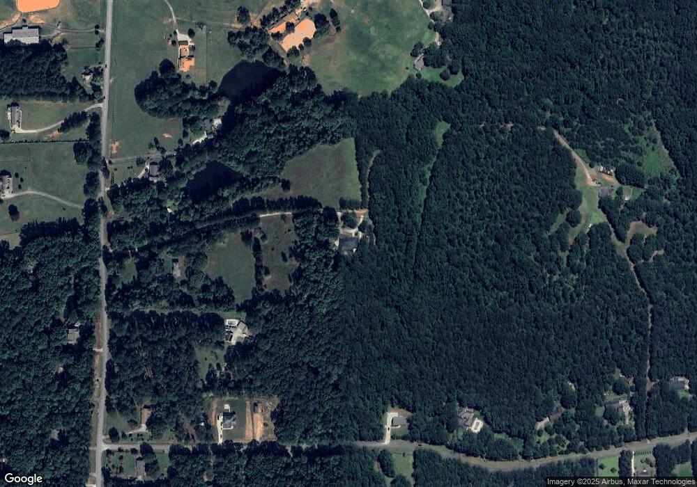
Map
Nearby Homes
- 3927 Airline Rd
- 318 Dogwood Trace
- 239 Berry Rd
- 200 Magnolia Ct
- 1102 Sequoia Trail
- 0 Bellevue Dr Unit 10483100
- 6460 Bellevue Dr SW Unit 6
- 210 Riveredge Way
- 1710 Crumbley Rd
- 1231 Kelleytown Rd
- 501 Owens Springs Ln
- 101 Wedgefield Dr
- 6018 Vicksburg Ct
- 110 Eastfield Ct
- 139 Lost Forest Dr
- 180 Watts Lake Rd
- 1100 River Green Ct Unit 2
- 604 Clearwater Ct Unit 6