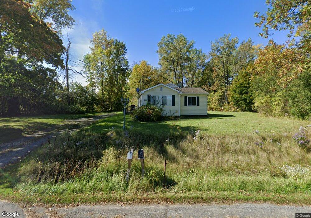
3957 State Route 9 Plattsburgh, NY 12901
Estimated Value: $188,000 - $247,000
2
Beds
1
Bath
1,455
Sq Ft
$154/Sq Ft
Est. Value
About This Home
This home is located at 3957 State Route 9, Plattsburgh, NY 12901 and is currently estimated at $224,357, approximately $154 per square foot. 3957 State Route 9 is a home located in Clinton County with nearby schools including Peru Elementary School, Peru Jr./Sr. High School, and Lakeshore Christian School.
Ownership History
Date
Name
Owned For
Owner Type
Purchase Details
Closed on
Nov 27, 2013
Sold by
Knight Leasing Llc
Bought by
Monette Jennifer
Current Estimated Value
Home Financials for this Owner
Home Financials are based on the most recent Mortgage that was taken out on this home.
Original Mortgage
$93,769
Outstanding Balance
$68,763
Interest Rate
4.29%
Mortgage Type
New Conventional
Estimated Equity
$155,594
Create a Home Valuation Report for This Property
The Home Valuation Report is an in-depth analysis detailing your home's value as well as a comparison with similar homes in the area
Home Values in the Area
Average Home Value in this Area
Purchase History
| Date | Buyer | Sale Price | Title Company |
|---|---|---|---|
| Monette Jennifer | $94,500 | Brian Snell | |
| Monette Jennifer | $94,500 | Brian Snell |
Source: Public Records
Mortgage History
| Date | Status | Borrower | Loan Amount |
|---|---|---|---|
| Open | Monette Jennifer | $93,769 | |
| Closed | Monette Jennifer | $93,769 |
Source: Public Records
Tax History
| Year | Tax Paid | Tax Assessment Tax Assessment Total Assessment is a certain percentage of the fair market value that is determined by local assessors to be the total taxable value of land and additions on the property. | Land | Improvement |
|---|---|---|---|---|
| 2024 | $3,441 | $167,300 | $47,400 | $119,900 |
| 2023 | $3,506 | $160,200 | $37,000 | $123,200 |
| 2022 | $3,538 | $145,500 | $29,000 | $116,500 |
| 2021 | $3,312 | $121,800 | $29,000 | $92,800 |
| 2020 | $3,165 | $121,800 | $29,000 | $92,800 |
| 2019 | $2,883 | $100,700 | $29,000 | $71,700 |
| 2018 | $2,883 | $100,700 | $29,000 | $71,700 |
| 2017 | $1,951 | $98,700 | $29,000 | $69,700 |
| 2016 | $2,826 | $98,700 | $29,000 | $69,700 |
| 2015 | -- | $98,700 | $29,000 | $69,700 |
| 2014 | -- | $98,700 | $27,500 | $71,200 |
Source: Public Records
Map
Nearby Homes
- 3971 State Route 9
- 238 Lyons Rd
- 261 Lyons Rd
- 44 Bluff Point Dr
- 0 Windswept Ln
- 01 Bluff Point Dr
- 41 Bluff Point Dr
- 45 Bluff Point Dr
- 74 Bluff Point Dr
- 73 Bluff Point Dr
- 46 Bluff Point Dr
- 72 Bluff Point Dr
- 71 Bluff Point Dr
- 0 Bluff Point Dr Unit 178752
- 0 Bluff Point Dr Unit 178750
- 00 Korn Dr
- 0 Korn Dr
- 0 Lapham Mills Rd
- 382 S Junction Rd
- 7 Northwood Ave
- 3957 State Route 9
- 3957 U S 9
- 3962 State Route 9
- 3954 State Route 9
- 16 Island View Way
- 12 Island View Way
- 3977 U S 9
- 3977 State Route 9
- 3940 U S 9
- 10 Island View Way
- 8 Island View Way
- 3940 State Route 9
- 3990 State Route 9
- 3995 State Route 9
- 3997 State Route 9
- 3999 State Route 9
- 3999 U S 9
- 3918 U S 9
- 4001 State Route 9
- 3920 State Route 9