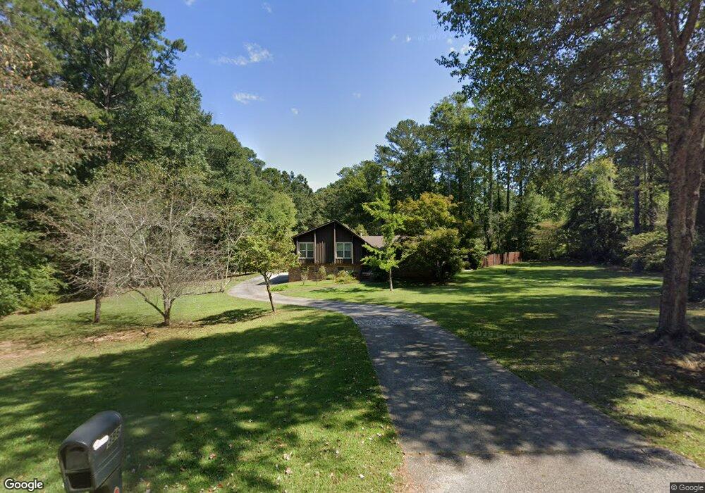
396 Banks Rd Unit 1 Fayetteville, GA 30214
Estimated Value: $324,705 - $382,000
--
Bed
2
Baths
1,811
Sq Ft
$197/Sq Ft
Est. Value
About This Home
This home is located at 396 Banks Rd Unit 1, Fayetteville, GA 30214 and is currently estimated at $357,426, approximately $197 per square foot. 396 Banks Rd Unit 1 is a home located in Fayette County with nearby schools including Spring Hill Elementary School, Bennett's Mill Middle School, and Fayette County High School.
Ownership History
Date
Name
Owned For
Owner Type
Purchase Details
Closed on
Apr 7, 1999
Sold by
Mays Wayne J
Bought by
Green Dwayne V
Current Estimated Value
Home Financials for this Owner
Home Financials are based on the most recent Mortgage that was taken out on this home.
Original Mortgage
$145,212
Outstanding Balance
$37,046
Interest Rate
7.13%
Mortgage Type
New Conventional
Estimated Equity
$320,380
Purchase Details
Closed on
Feb 15, 1996
Sold by
Peterson Edwyn
Bought by
May Wayne
Create a Home Valuation Report for This Property
The Home Valuation Report is an in-depth analysis detailing your home's value as well as a comparison with similar homes in the area
Home Values in the Area
Average Home Value in this Area
Purchase History
| Date | Buyer | Sale Price | Title Company |
|---|---|---|---|
| Green Dwayne V | $146,000 | -- | |
| May Wayne | $120,500 | -- |
Source: Public Records
Mortgage History
| Date | Status | Borrower | Loan Amount |
|---|---|---|---|
| Open | Green Dwayne V | $145,212 |
Source: Public Records
Tax History Compared to Growth
Tax History
| Year | Tax Paid | Tax Assessment Tax Assessment Total Assessment is a certain percentage of the fair market value that is determined by local assessors to be the total taxable value of land and additions on the property. | Land | Improvement |
|---|---|---|---|---|
| 2024 | $2,160 | $115,976 | $30,000 | $85,976 |
| 2023 | $1,898 | $127,240 | $38,000 | $89,240 |
| 2022 | $2,164 | $113,920 | $20,000 | $93,920 |
| 2021 | $1,935 | $88,240 | $20,000 | $68,240 |
| 2020 | $2,375 | $86,560 | $16,000 | $70,560 |
| 2019 | $2,559 | $92,080 | $16,000 | $76,080 |
| 2018 | $1,905 | $68,480 | $12,000 | $56,480 |
| 2017 | $1,674 | $60,280 | $12,000 | $48,280 |
| 2016 | $1,538 | $54,480 | $12,000 | $42,480 |
| 2015 | $1,438 | $50,240 | $12,000 | $38,240 |
| 2014 | $1,325 | $45,720 | $12,000 | $33,720 |
| 2013 | -- | $43,320 | $0 | $0 |
Source: Public Records
Map
Nearby Homes
- 145 Devilla Trace Unit 3
- 600 Ponderosa Ct
- 250 Devilla Trace
- 140 Deer Forest Trail
- 145 Holly Hill Rd
- 185 Central Ave
- 265 Allenwood Rd
- 595 E Lanier Ave
- 145 Huntcliff Ct
- 165 Fox Hunt Ct Unit 2
- 125 Oak Knoll Unit 1
- 135 Pamela Ct
- 150 Oak Manor
- 225 Banks Rd
- 1202 Highway 54 E
- 175 Oak Manor
- 160 Pine Trail Rd
- 150 Bartow Street Lot #5
- 225 Buckeye Ln Unit 2
- 1150 Glynn St
- 406 Banks Rd
- 406 Banks Rd Unit 1
- 386 Banks Rd
- 155 Devilla Trace
- 500 Banks Rd
- 382 Banks Rd
- 418 Banks Rd
- 170 Devilla Trace
- 175 Devilla Trace
- 135 Devilla Trace
- 160 Devilla Trace
- 409 Banks Rd
- 150 Devilla Trace Unit 3
- 101 San Marino Ct Unit 2
- 376 Banks Rd Unit 1
- 422 Banks Rd
- 104 Vaughn Dr
- 125 Devilla Trace
- 130 Devilla Trace
- 185 Devilla Trace