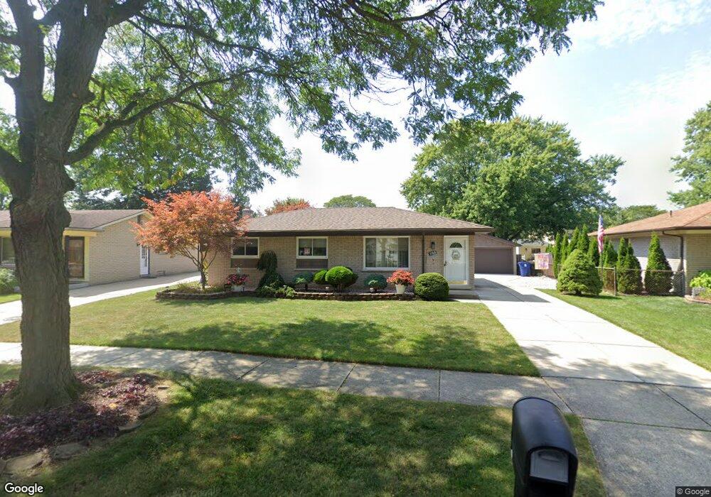
396 Buckingham Rd Canton, MI 48188
Estimated Value: $267,942 - $338,000
Studio
1
Bath
1,235
Sq Ft
$253/Sq Ft
Est. Value
About This Home
This home is located at 396 Buckingham Rd, Canton, MI 48188 and is currently estimated at $312,236, approximately $252 per square foot. 396 Buckingham Rd is a home located in Wayne County with nearby schools including Canton High School, Discovery Middle School, and Salem High School.
Ownership History
Date
Name
Owned For
Owner Type
Purchase Details
Closed on
Jul 26, 2016
Sold by
Borg Mark C and Borg Barbara A
Bought by
Borg Mark C
Current Estimated Value
Purchase Details
Closed on
Jul 1, 2008
Sold by
Pisarski Helen E
Bought by
Borg Barbara
Create a Home Valuation Report for This Property
The Home Valuation Report is an in-depth analysis detailing your home's value as well as a comparison with similar homes in the area
Home Values in the Area
Average Home Value in this Area
Purchase History
| Date | Buyer | Sale Price | Title Company |
|---|---|---|---|
| Borg Mark C | -- | Attorney | |
| Borg Mark C | -- | Attorney | |
| Borg Barbara | -- | None Available |
Source: Public Records
Tax History
| Year | Tax Paid | Tax Assessment Tax Assessment Total Assessment is a certain percentage of the fair market value that is determined by local assessors to be the total taxable value of land and additions on the property. | Land | Improvement |
|---|---|---|---|---|
| 2025 | $1,510 | $143,300 | $0 | $0 |
| 2024 | $1,467 | $131,700 | $0 | $0 |
| 2023 | $1,398 | $118,900 | $0 | $0 |
| 2022 | $3,118 | $109,600 | $0 | $0 |
| 2021 | $3,025 | $107,400 | $0 | $0 |
| 2020 | $2,986 | $101,700 | $0 | $0 |
| 2019 | $2,938 | $95,940 | $0 | $0 |
| 2018 | $1,189 | $93,470 | $0 | $0 |
| 2017 | $3,003 | $96,300 | $0 | $0 |
| 2016 | $2,637 | $95,000 | $0 | $0 |
| 2015 | $6,437 | $83,630 | $0 | $0 |
| 2013 | $6,236 | $63,650 | $0 | $0 |
| 2010 | -- | $70,680 | $35,394 | $35,286 |
Source: Public Records
Map
Nearby Homes
- 39234 Gloucester St
- 39209 Nottingham St
- 312 Brookfield Dr Unit 4
- 285 Carson Dr Unit 156
- 352 Cherry Hill Pointe Dr Unit 33
- 127 S John Hix St
- 0 Cherry Hill Unit 16924
- 00000 Avondale St
- 870 N Lotz Rd
- 714 Autumn Ridge Dr Unit 64
- 314 Marigold Cir Unit 49
- 308 Marigold Cir Unit 54
- 312 Marigold Cir Unit 52
- 38478 Loruss Ave
- 41060 Northwind Dr
- 41128 Northwind Dr Unit 28
- 1786 Daisey Ln Unit 32
- 41226 Southwind Dr Unit 138
- 457 N Sybald St
- 38227 Avondale St
- 384 Buckingham Rd
- 408 Buckingham Rd
- 551 Meadowlake Rd
- 565 Meadowlake Rd
- 372 Buckingham Rd
- 420 Buckingham Rd
- 539 Meadowlake Rd
- 577 Meadowlake Rd
- 39639 Kirkland Dr
- 360 Buckingham Rd
- 409 Buckingham Rd
- 432 Buckingham Rd
- 599 Meadowlake Rd Unit Bldg-Unit
- 599 Meadowlake Rd
- 501 Meadowlake Rd
- 527 Meadowlake Rd
- 421 Buckingham Rd
- 39627 Kirkland Dr
- 444 Buckingham Rd
- 701 Meadowlake Rd
Your Personal Tour Guide
Ask me questions while you tour the home.