396 Rivercrest Dr Brooklet, GA 30415
Estimated Value: $356,000 - $633,000
3
Beds
2
Baths
2,501
Sq Ft
$202/Sq Ft
Est. Value
About This Home
This home is located at 396 Rivercrest Dr, Brooklet, GA 30415 and is currently estimated at $505,746, approximately $202 per square foot. 396 Rivercrest Dr is a home located in Bulloch County with nearby schools including Stilson Elementary School, Southeast Bulloch High School, and Southeast Bulloch Middle School.
Ownership History
Date
Name
Owned For
Owner Type
Purchase Details
Closed on
Nov 30, 2017
Sold by
Sutton Patricia A
Bought by
Ll James C Hendry Homebu
Current Estimated Value
Purchase Details
Closed on
Aug 9, 2016
Bought by
Farmer Daniel M and Harley Ashley A
Home Financials for this Owner
Home Financials are based on the most recent Mortgage that was taken out on this home.
Original Mortgage
$175,350
Interest Rate
3.42%
Mortgage Type
New Conventional
Purchase Details
Closed on
Aug 15, 2007
Sold by
Not Provided
Bought by
Cpi Grp Llc
Create a Home Valuation Report for This Property
The Home Valuation Report is an in-depth analysis detailing your home's value as well as a comparison with similar homes in the area
Purchase History
| Date | Buyer | Sale Price | Title Company |
|---|---|---|---|
| Ll James C Hendry Homebu | -- | -- | |
| Farmer Daniel M | $250,500 | -- | |
| Cpi Grp Llc | -- | -- |
Source: Public Records
Mortgage History
| Date | Status | Borrower | Loan Amount |
|---|---|---|---|
| Previous Owner | Farmer Daniel M | $175,350 |
Source: Public Records
Tax History
| Year | Tax Paid | Tax Assessment Tax Assessment Total Assessment is a certain percentage of the fair market value that is determined by local assessors to be the total taxable value of land and additions on the property. | Land | Improvement |
|---|---|---|---|---|
| 2025 | $4,011 | $174,280 | $31,240 | $143,040 |
| 2024 | $3,617 | $164,320 | $31,240 | $133,080 |
| 2023 | $4,078 | $169,640 | $26,040 | $143,600 |
| 2022 | $2,989 | $140,504 | $15,630 | $124,874 |
| 2021 | $2,693 | $123,642 | $15,630 | $108,012 |
| 2020 | $2,515 | $112,671 | $15,630 | $97,041 |
| 2019 | $2,584 | $115,127 | $17,932 | $97,195 |
| 2018 | $2,227 | $101,879 | $14,941 | $86,938 |
| 2017 | $0 | $97,351 | $14,941 | $82,410 |
Source: Public Records
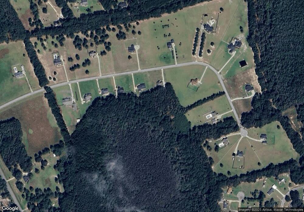
Map
Nearby Homes
- 440 Rivercrest Dr
- 320 Live Oak Loop
- 614-670 Pleasant Church Hill Rd
- 670 Pleasant Hill Church Rd
- 614 Pleasant Hill Church Rd
- 0 Highway 119 N Unit 10458049
- 206 Captain Cone Ct
- 164 River Bluff Way
- 674 Belfast Loop
- 672 Belfast Loop
- 668 Belfast Loop
- 674 Belfast Loop Unit LOT 189
- 672 Belfast Loop Unit LOT 188
- 676 Belfast Loop Unit LOT 190
- 670 Belfast Loop
- 670 Belfast Loop Unit 187
- 668 Belfast Loop Unit LOT 186
- 676 Belfast Loop
- 639 Belfast Loop Unit 97
- 635 Belfast Loop
- 189 Rivercrest Dr
- 310 Huggins Crossing Rd
- 153 Rivercrest Dr
- 412 Huggins Crossing Rd
- 162 Huggins Crossing Rd
- 342 Rivercrest Dr
- 222 Huggins Crossing Rd
- 271 Rivercrest Dr
- 4498 Highway 119 N
- 464 Huggins Crossing Rd
- 214 Rivercrest Dr
- 4461 Highway 119 N
- 4461 Highway 119 N
- 194 Rivercrest Dr
- 242 Rivercrest Dr
- 229 Rivercrest Dr
- 229 Rivercrest Dr Unit 4
- 4206 Highway 119 N
- 311 Rivercrest Dr
- 4567 Highway 119 N
Your Personal Tour Guide
Ask me questions while you tour the home.