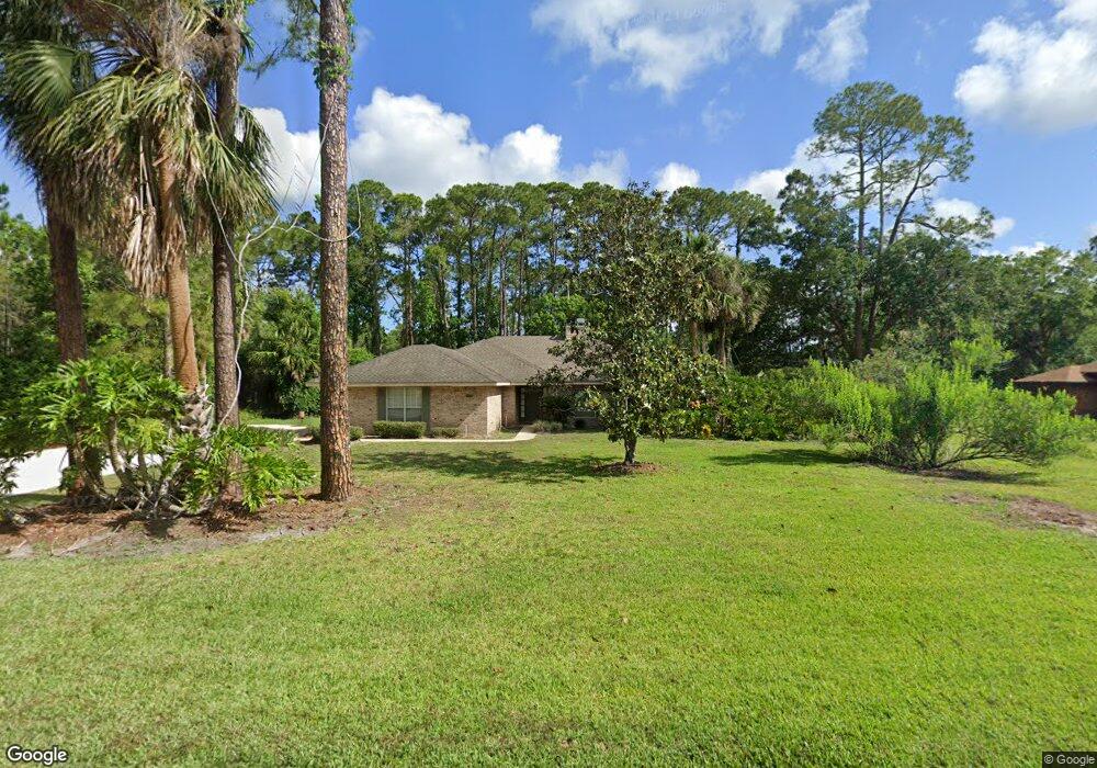
396 Ruth Jennings Dr Debary, FL 32713
Estimated Value: $430,681 - $501,000
3
Beds
2
Baths
1,973
Sq Ft
$234/Sq Ft
Est. Value
About This Home
This home is located at 396 Ruth Jennings Dr, Debary, FL 32713 and is currently estimated at $461,170, approximately $233 per square foot. 396 Ruth Jennings Dr is a home located in Volusia County with nearby schools including Debary Elementary School, River Springs Middle School, and University High School.
Ownership History
Date
Name
Owned For
Owner Type
Purchase Details
Closed on
Jan 31, 2023
Sold by
Bridges Joe S and Bridges Jane E
Bought by
Bridges Family Trust
Current Estimated Value
Purchase Details
Closed on
May 15, 1990
Bought by
Bridges Joe S and Bridges Jane E
Purchase Details
Closed on
Apr 15, 1990
Bought by
Bridges Joe S and Bridges Jane E
Purchase Details
Closed on
Feb 15, 1990
Bought by
Bridges Joe S and Bridges Jane E
Create a Home Valuation Report for This Property
The Home Valuation Report is an in-depth analysis detailing your home's value as well as a comparison with similar homes in the area
Home Values in the Area
Average Home Value in this Area
Purchase History
| Date | Buyer | Sale Price | Title Company |
|---|---|---|---|
| Bridges Family Trust | $100 | -- | |
| Bridges Family Trust | $100 | None Listed On Document | |
| Bridges Joe S | $25,000 | -- | |
| Bridges Joe S | $22,000 | -- | |
| Bridges Joe S | $227,500 | -- |
Source: Public Records
Tax History Compared to Growth
Tax History
| Year | Tax Paid | Tax Assessment Tax Assessment Total Assessment is a certain percentage of the fair market value that is determined by local assessors to be the total taxable value of land and additions on the property. | Land | Improvement |
|---|---|---|---|---|
| 2025 | $2,191 | $173,381 | -- | -- |
| 2024 | $2,191 | $168,495 | -- | -- |
| 2023 | $2,191 | $163,588 | $0 | $0 |
| 2022 | $2,131 | $158,823 | $0 | $0 |
| 2021 | $2,188 | $154,197 | $0 | $0 |
| 2020 | $2,173 | $152,068 | $0 | $0 |
| 2019 | $2,268 | $148,649 | $0 | $0 |
| 2018 | $2,190 | $145,877 | $0 | $0 |
| 2017 | $2,218 | $142,877 | $0 | $0 |
| 2016 | $2,131 | $139,938 | $0 | $0 |
| 2015 | $2,180 | $138,965 | $0 | $0 |
| 2014 | $2,145 | $137,862 | $0 | $0 |
Source: Public Records
Map
Nearby Homes
- 32 Fyfe Ave
- 40 Dial Ave
- 340 Ruth Jennings Dr
- 0 Sanctuary Ave Unit MFRO6276050
- 12 Craycroft Ave
- 116 Traders Cove Blvd
- 100 Verde Way
- 299 Lazio Cir
- 10 Gracie Rd
- 343 Lazio Cir
- 351 Lazio Cir
- 611 Fiorella Ct
- 157 Ambergate Ct
- 26 Canter Club Ct
- 411 Lazio Cir
- 100 Via Rosa Ct
- 206 Ancona Ave
- 455 Lazio Cir
- 30 Rosedown Blvd
- 281 Ancona Ave
- 390 Ruth Jennings Dr
- 393 W Highbanks Rd
- 395 Ruth Jennings Dr Unit 1
- 379 W Highbanks Rd
- 389 Ruth Jennings Dr
- 405 W Highbanks Rd
- 405 Ruth Jennings Dr
- 388 Ruth Jennings Dr
- 407 W Highbanks Rd
- 14 Erma Ave
- 375 W Highbanks Rd
- 385 Ruth Jennings Dr
- 409 W Highbanks Rd
- 15 Fyfe Ave
- 380 Ruth Jennings Dr
- 442 Ruth Jennings Dr
- 18 Erma Ave
- 7 Keeble Ave
- 365 W Highbanks Rd
- 11 Keeble Ave