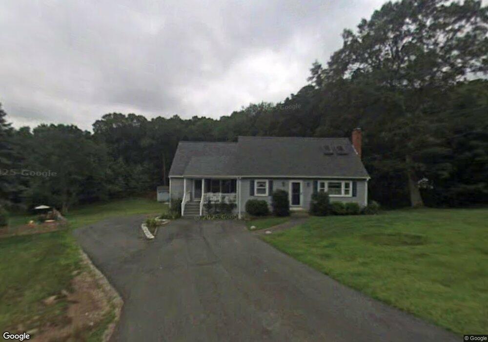
396 Thurston St Wrentham, MA 02093
Estimated Value: $614,000 - $633,696
2
Beds
2
Baths
1,796
Sq Ft
$348/Sq Ft
Est. Value
About This Home
This home is located at 396 Thurston St, Wrentham, MA 02093 and is currently estimated at $624,674, approximately $347 per square foot. 396 Thurston St is a home located in Norfolk County with nearby schools including Delaney Elementary School, Charles E Roderick, and Foxborough Regional Charter School.
Ownership History
Date
Name
Owned For
Owner Type
Purchase Details
Closed on
Oct 29, 1999
Sold by
Gill Kevin P and Gill Stephanie A
Bought by
Roby Michael T and Roby Lisa A
Current Estimated Value
Home Financials for this Owner
Home Financials are based on the most recent Mortgage that was taken out on this home.
Original Mortgage
$196,750
Interest Rate
7.78%
Mortgage Type
Purchase Money Mortgage
Purchase Details
Closed on
Feb 27, 1995
Sold by
Gillis John J and Gillis Lisa L
Bought by
Gill Kevin P
Create a Home Valuation Report for This Property
The Home Valuation Report is an in-depth analysis detailing your home's value as well as a comparison with similar homes in the area
Home Values in the Area
Average Home Value in this Area
Purchase History
| Date | Buyer | Sale Price | Title Company |
|---|---|---|---|
| Roby Michael T | $192,900 | -- | |
| Gill Kevin P | $150,000 | -- |
Source: Public Records
Mortgage History
| Date | Status | Borrower | Loan Amount |
|---|---|---|---|
| Open | Gill Kevin P | $244,000 | |
| Closed | Gill Kevin P | $35,700 | |
| Closed | Gill Kevin P | $196,750 | |
| Previous Owner | Gill Kevin P | $142,500 |
Source: Public Records
Tax History Compared to Growth
Tax History
| Year | Tax Paid | Tax Assessment Tax Assessment Total Assessment is a certain percentage of the fair market value that is determined by local assessors to be the total taxable value of land and additions on the property. | Land | Improvement |
|---|---|---|---|---|
| 2025 | $6,096 | $526,000 | $261,900 | $264,100 |
| 2024 | $5,861 | $488,400 | $261,900 | $226,500 |
| 2023 | $5,675 | $449,700 | $238,100 | $211,600 |
| 2022 | $5,333 | $390,100 | $214,500 | $175,600 |
| 2021 | $5,046 | $358,600 | $191,600 | $167,000 |
| 2020 | $5,177 | $363,300 | $174,800 | $188,500 |
| 2019 | $4,773 | $338,000 | $159,000 | $179,000 |
| 2018 | $4,927 | $346,000 | $159,100 | $186,900 |
| 2017 | $4,608 | $323,400 | $156,000 | $167,400 |
| 2016 | $4,510 | $315,800 | $151,500 | $164,300 |
| 2015 | $4,353 | $290,600 | $145,600 | $145,000 |
| 2014 | $4,282 | $279,700 | $140,100 | $139,600 |
Source: Public Records
Map
Nearby Homes
- 483 Thurston St
- 120 Hawes St
- 155 Clark Rd Unit 155
- 65 Pond St
- 362 East St
- 319 Taunton St
- 1 Lorraine Metcalf Dr
- 270 Dedham St
- 10 Nature View Dr
- 15 Nature View Dr
- 80 Mill St
- 131 Washington St Unit 42
- 11 Goodwin Dr
- 25 Foxboro Rd
- 11 Earle Stewart Ln
- 9 Oak Dr
- Lot 1 - Blueberry 2 Car Plan at King Philip Estates
- Lot 8 - Blueberry 2 Car Plan at King Philip Estates
- Lot 5 - Hughes 2 car Plan at King Philip Estates
- Lot 6 - Blueberry 3 Car Plan at King Philip Estates