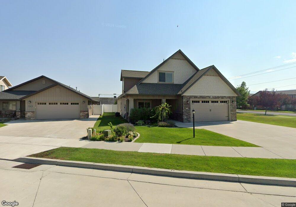
396 W 1530 N Logan, UT 84341
Bridger NeighborhoodEstimated Value: $474,000 - $727,000
--
Bed
--
Bath
3,163
Sq Ft
$177/Sq Ft
Est. Value
About This Home
This home is located at 396 W 1530 N, Logan, UT 84341 and is currently estimated at $559,573, approximately $176 per square foot. 396 W 1530 N is a home with nearby schools including Bridger School, Mount Logan Middle School, and Logan High School.
Ownership History
Date
Name
Owned For
Owner Type
Purchase Details
Closed on
Oct 17, 2012
Sold by
Champlin Development Inc
Bought by
Poorte Lee E and Poorte Judith N
Current Estimated Value
Home Financials for this Owner
Home Financials are based on the most recent Mortgage that was taken out on this home.
Original Mortgage
$265,109
Outstanding Balance
$185,642
Interest Rate
3.75%
Mortgage Type
FHA
Estimated Equity
$373,931
Purchase Details
Closed on
Oct 7, 2008
Sold by
C H Champlin Llc
Bought by
Champlin Development Inc
Create a Home Valuation Report for This Property
The Home Valuation Report is an in-depth analysis detailing your home's value as well as a comparison with similar homes in the area
Home Values in the Area
Average Home Value in this Area
Purchase History
| Date | Buyer | Sale Price | Title Company |
|---|---|---|---|
| Poorte Lee E | -- | American Secure Title Logan | |
| Champlin Development Inc | -- | Northern Title Company |
Source: Public Records
Mortgage History
| Date | Status | Borrower | Loan Amount |
|---|---|---|---|
| Open | Poorte Lee E | $265,109 |
Source: Public Records
Tax History Compared to Growth
Tax History
| Year | Tax Paid | Tax Assessment Tax Assessment Total Assessment is a certain percentage of the fair market value that is determined by local assessors to be the total taxable value of land and additions on the property. | Land | Improvement |
|---|---|---|---|---|
| 2024 | $1,973 | $247,115 | $0 | $0 |
| 2023 | $2,065 | $246,510 | $0 | $0 |
| 2022 | $2,211 | $246,510 | $0 | $0 |
| 2021 | $2,334 | $402,026 | $55,000 | $347,026 |
| 2020 | $2,301 | $356,762 | $55,000 | $301,762 |
| 2019 | $2,405 | $356,761 | $55,000 | $301,761 |
| 2018 | $2,285 | $309,430 | $40,000 | $269,430 |
| 2017 | $2,278 | $163,130 | $0 | $0 |
| 2016 | $2,362 | $141,550 | $0 | $0 |
| 2015 | $2,052 | $141,550 | $0 | $0 |
| 2014 | $1,855 | $141,550 | $0 | $0 |
| 2013 | -- | $142,570 | $0 | $0 |
Source: Public Records
Map
Nearby Homes
- 1583 N 400 W Unit 103
- 1589 N 310 W
- 514 W 1490 N Unit 102
- 230 W 1550 N Unit 102
- 1492 N 565 W Unit 101
- 1568 N 565 W Unit 104
- 1584 N 565 W Unit 104
- 1587 N 565 W Unit 101
- 540 W 1380 N
- 495 W 1330 N
- Park Avenue 1600 Plan at Park Avenue 1600
- 123 Penhurst Place
- 2 Somerset Place
- 224 W 1330 N
- 48 Kensington Place
- 24 Somerset Place
- 2200 N 220 W
- 1355 N 220 W
- 1810 N 400 W
- 85 Hampton Place
- 384 W 1530 N
- 1520 N 400 W Unit 104
- 372 W 1530 N
- 379 W 1530 N
- 360 W 1530 N
- 1521 N 400 W Unit 102
- 1525 N 400 W Unit 101
- 1525 N 400 W Unit 102
- 1525 N 400 W Unit 103
- 1525 N 400 W Unit 104
- 365 W 1530 N
- 1495 N 400 W Unit 101
- 1495 N 400 W Unit 103
- 1495 N 400 W Unit 102
- 1495 N 400 W Unit 104
- 1495 N 420 W Unit 102
- 1495 N 420 W
- 1495 N 420 W Unit 101
- 1495 N 420 W Unit 104
- 1495 N 420 W Unit 103