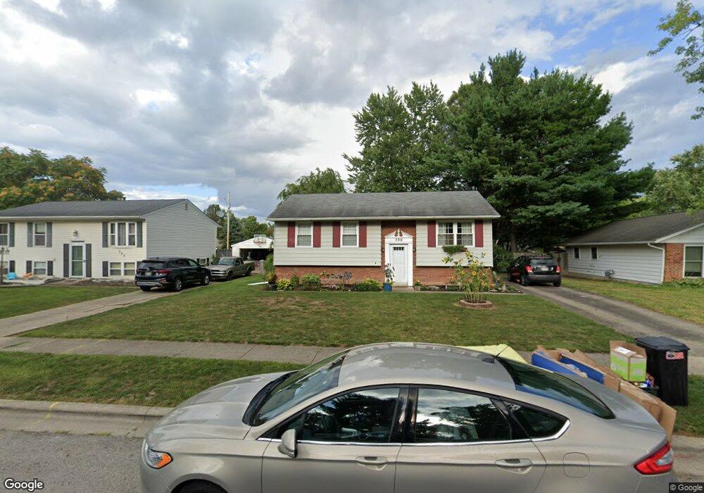
396 Westport Dr Groveport, OH 43125
Estimated Value: $250,000 - $262,000
3
Beds
2
Baths
1,569
Sq Ft
$162/Sq Ft
Est. Value
About This Home
This home is located at 396 Westport Dr, Groveport, OH 43125 and is currently estimated at $254,387, approximately $162 per square foot. 396 Westport Dr is a home located in Franklin County with nearby schools including Groveport Madison High School, Groveport Community School, and Madison Christian School.
Ownership History
Date
Name
Owned For
Owner Type
Purchase Details
Closed on
Aug 19, 2005
Sold by
Albaugh Joan E
Bought by
Hunt Edward A and Hunt Paula M
Current Estimated Value
Home Financials for this Owner
Home Financials are based on the most recent Mortgage that was taken out on this home.
Original Mortgage
$112,238
Outstanding Balance
$59,904
Interest Rate
5.91%
Mortgage Type
FHA
Estimated Equity
$194,483
Purchase Details
Closed on
Apr 29, 1998
Sold by
Miller Connie S and Mcdonald Gary D
Bought by
Albaugh Joan E
Home Financials for this Owner
Home Financials are based on the most recent Mortgage that was taken out on this home.
Original Mortgage
$85,400
Interest Rate
7.18%
Purchase Details
Closed on
May 1, 1983
Create a Home Valuation Report for This Property
The Home Valuation Report is an in-depth analysis detailing your home's value as well as a comparison with similar homes in the area
Home Values in the Area
Average Home Value in this Area
Purchase History
| Date | Buyer | Sale Price | Title Company |
|---|---|---|---|
| Hunt Edward A | $114,000 | -- | |
| Albaugh Joan E | $89,900 | Independent Title | |
| -- | -- | -- |
Source: Public Records
Mortgage History
| Date | Status | Borrower | Loan Amount |
|---|---|---|---|
| Open | Hunt Edward A | $112,238 | |
| Closed | Albaugh Joan E | $85,400 |
Source: Public Records
Tax History Compared to Growth
Tax History
| Year | Tax Paid | Tax Assessment Tax Assessment Total Assessment is a certain percentage of the fair market value that is determined by local assessors to be the total taxable value of land and additions on the property. | Land | Improvement |
|---|---|---|---|---|
| 2024 | $3,538 | $72,350 | $22,190 | $50,160 |
| 2023 | $3,507 | $72,345 | $22,190 | $50,155 |
| 2022 | $2,659 | $43,760 | $9,140 | $34,620 |
| 2021 | $2,669 | $43,760 | $9,140 | $34,620 |
| 2020 | $2,675 | $43,760 | $9,140 | $34,620 |
| 2019 | $2,544 | $36,680 | $7,630 | $29,050 |
| 2018 | $2,540 | $36,680 | $7,630 | $29,050 |
| 2017 | $2,531 | $36,680 | $7,630 | $29,050 |
| 2016 | $2,500 | $32,480 | $7,350 | $25,130 |
| 2015 | $2,522 | $32,480 | $7,350 | $25,130 |
| 2014 | $2,374 | $32,480 | $7,350 | $25,130 |
| 2013 | $1,066 | $34,195 | $7,735 | $26,460 |
Source: Public Records
Map
Nearby Homes
- 390 Westport Dr
- 400 Westport Dr
- 384 Westport Dr
- 406 Westport Dr
- 381 Sheryl Dr
- 375 Sheryl Dr
- 393 Sheryl Dr
- 412 Westport Dr
- 376 Westport Dr
- 401 Westport Dr
- 393 Westport Dr
- 369 Sheryl Dr
- 405 Westport Dr
- 399 Sheryl Dr
- 387 Westport Dr
- 34 Larson Dr
- 411 Westport Dr
- 381 Westport Dr
- 49 Cherry St
- 54 Larson Dr