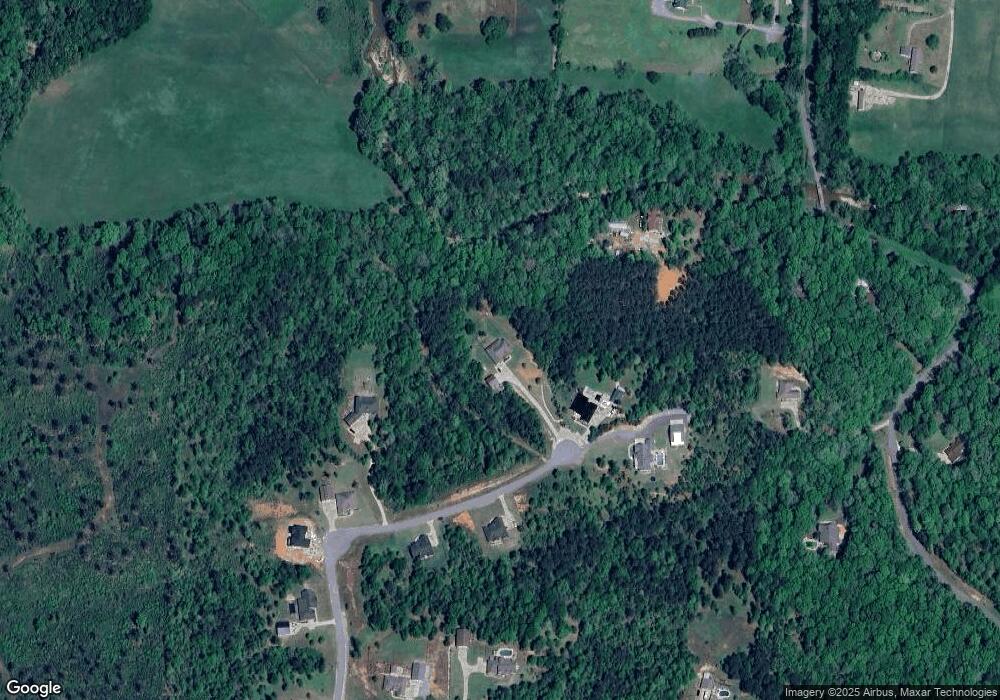
3961 Bent Tree Dr Benton, AR 72019
Estimated Value: $392,000 - $489,000
--
Bed
1
Bath
2,411
Sq Ft
$186/Sq Ft
Est. Value
About This Home
This home is located at 3961 Bent Tree Dr, Benton, AR 72019 and is currently estimated at $448,114, approximately $185 per square foot. 3961 Bent Tree Dr is a home with nearby schools including Caldwell Elementary School, Benton Middle School, and Benton Junior High School.
Ownership History
Date
Name
Owned For
Owner Type
Purchase Details
Closed on
Jul 30, 2021
Sold by
Seals Holli Ann and Lincoln Holli Ann
Bought by
Lincoln Philip Craig
Current Estimated Value
Home Financials for this Owner
Home Financials are based on the most recent Mortgage that was taken out on this home.
Original Mortgage
$318,400
Outstanding Balance
$288,454
Interest Rate
2.8%
Mortgage Type
New Conventional
Estimated Equity
$159,660
Purchase Details
Closed on
Sep 15, 2017
Sold by
R & J Investments Inc
Bought by
Lincoln Philip Craig and Lincoln Holli Ann
Create a Home Valuation Report for This Property
The Home Valuation Report is an in-depth analysis detailing your home's value as well as a comparison with similar homes in the area
Home Values in the Area
Average Home Value in this Area
Purchase History
| Date | Buyer | Sale Price | Title Company |
|---|---|---|---|
| Lincoln Philip Craig | -- | First National Title | |
| Lincoln Philip Craig | $57,000 | First National Title | |
| R & J Investments Inc | -- | First National Title |
Source: Public Records
Mortgage History
| Date | Status | Borrower | Loan Amount |
|---|---|---|---|
| Open | Lincoln Philip Craig | $318,400 |
Source: Public Records
Tax History Compared to Growth
Tax History
| Year | Tax Paid | Tax Assessment Tax Assessment Total Assessment is a certain percentage of the fair market value that is determined by local assessors to be the total taxable value of land and additions on the property. | Land | Improvement |
|---|---|---|---|---|
| 2025 | $3,692 | $82,684 | $15,228 | $67,456 |
| 2024 | $3,692 | $82,684 | $15,228 | $67,456 |
| 2023 | $3,207 | $82,684 | $15,228 | $67,456 |
| 2022 | $3,096 | $82,684 | $15,228 | $67,456 |
| 2021 | $2,936 | $62,220 | $15,230 | $46,990 |
| 2020 | $2,886 | $62,220 | $15,230 | $46,990 |
| 2019 | $2,836 | $62,220 | $15,230 | $46,990 |
| 2018 | $776 | $15,030 | $15,030 | $0 |
| 2017 | $0 | $0 | $0 | $0 |
Source: Public Records
Map
Nearby Homes
- 3550 Sam Claar Ln Unit (4301 Quapaw)
- 2024 Canyon Creek Pkwy
- 2057 Canyon Creek Pkwy
- 2048 Canyon Creek Pkwy
- 0000 Grandview Dr
- 2049 Canyon Creek Pkwy
- 2000 Canyon Creek Pkwy
- 3009 Grandview Dr
- 1008 Granite Cove
- 1016 Granite Cove
- 2008 Canyon Creek Pkwy
- 1001 Granite Cove
- 5812 Highway 5 Unit 5806
- 5812 & 5806 Highway 5
- 5806 Highway 5
- 6540 Hussey Ln
- 2281 Lookout Mountain Rd
- Lot 1AR Highway 298
- Lot 1BR Highway 298
- 402 Demuth Ln
- 3968 Bent Tree Dr
- 3981 Bent Tree Dr
- 3985 Bent Tree Dr
- 3953 Bent Tree Dr
- 3977 Bent Tree Dr
- 3952 Bent Tree Dr
- 6332 High Meadow Dr
- 4001 Bent Tree Dr
- 3602 Quapaw Rd
- 3776 Quapaw Rd
- 4009 Bent Tree Dr
- 6316 High Meadow Dr
- 6333 High Meadow Dr
- 3750 Quapaw Rd
- 24 Bent Tree Dr
- 0 Bent Tree Dr
- Lot 24 Bent Tree Dr
- 0 High Meadow Dr
- 3820 Quapaw Rd
- 6317 High Meadow Dr
