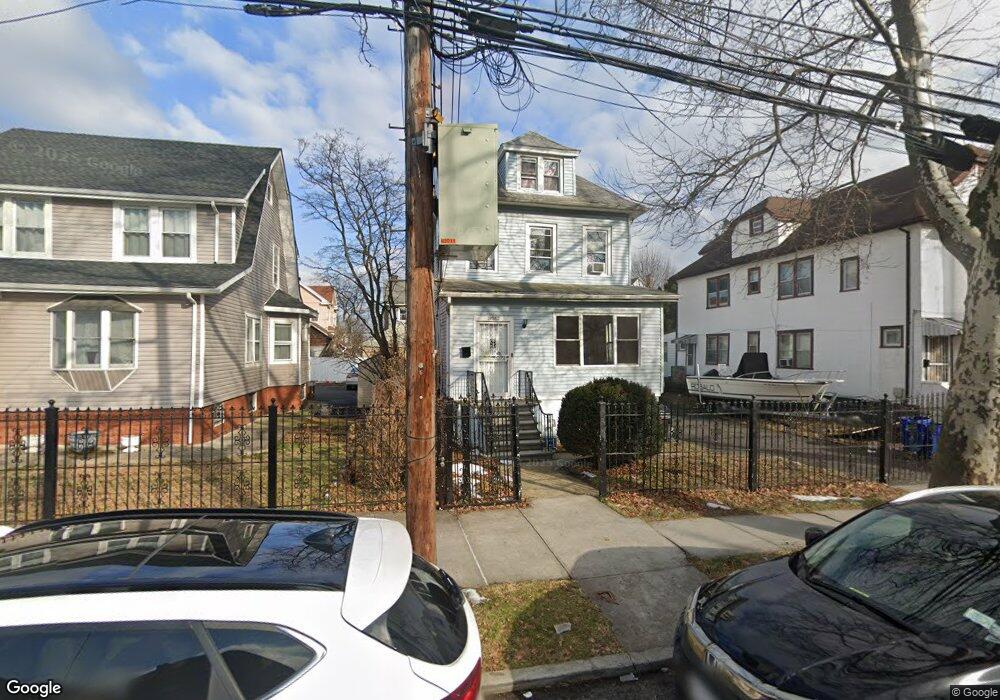
3962 Seton Ave Bronx, NY 10466
Edenwald NeighborhoodEstimated Value: $583,292 - $785,000
Studio
--
Bath
1,286
Sq Ft
$544/Sq Ft
Est. Value
About This Home
This home is located at 3962 Seton Ave, Bronx, NY 10466 and is currently estimated at $699,323, approximately $543 per square foot. 3962 Seton Ave is a home located in Bronx County with nearby schools including P.S. 68 - Bronx, Baychester Middle School, and One World Middle School At Edenwald.
Ownership History
Date
Name
Owned For
Owner Type
Purchase Details
Closed on
Apr 1, 2019
Sold by
Lavado Antonio and Lavado Mercedes
Bought by
Fierro Edid F and Fierro Francisco
Current Estimated Value
Home Financials for this Owner
Home Financials are based on the most recent Mortgage that was taken out on this home.
Original Mortgage
$340,000
Outstanding Balance
$298,920
Interest Rate
4.3%
Mortgage Type
Purchase Money Mortgage
Estimated Equity
$400,403
Create a Home Valuation Report for This Property
The Home Valuation Report is an in-depth analysis detailing your home's value as well as a comparison with similar homes in the area
Home Values in the Area
Average Home Value in this Area
Purchase History
| Date | Buyer | Sale Price | Title Company |
|---|---|---|---|
| Fierro Edid F | $590,000 | -- |
Source: Public Records
Mortgage History
| Date | Status | Borrower | Loan Amount |
|---|---|---|---|
| Open | Fierro Edid F | $340,000 |
Source: Public Records
Tax History
| Year | Tax Paid | Tax Assessment Tax Assessment Total Assessment is a certain percentage of the fair market value that is determined by local assessors to be the total taxable value of land and additions on the property. | Land | Improvement |
|---|---|---|---|---|
| 2025 | $6,300 | $33,250 | $10,607 | $22,643 |
| 2024 | $6,300 | $31,368 | $10,565 | $20,803 |
| 2023 | $6,071 | $29,894 | $8,808 | $21,086 |
| 2022 | $5,778 | $35,280 | $11,580 | $23,700 |
| 2021 | $6,091 | $29,580 | $11,580 | $18,000 |
| 2020 | $5,865 | $32,640 | $11,580 | $21,060 |
| 2019 | $5,467 | $33,660 | $11,580 | $22,080 |
| 2018 | $5,078 | $24,912 | $10,122 | $14,790 |
| 2017 | $4,917 | $24,120 | $10,461 | $13,659 |
| 2016 | $4,822 | $24,120 | $10,508 | $13,612 |
| 2015 | $2,525 | $23,091 | $12,670 | $10,421 |
| 2014 | $2,525 | $21,784 | $11,482 | $10,302 |
Source: Public Records
Map
Nearby Homes
- 3963 Duryea Ave
- 3964 Duryea Ave
- 3968 Duryea Ave
- 2181 Strang Ave
- 3924 Duryea Ave
- 3919 Pratt Ave
- 1461 E 233rd St
- 3919 Murdock Ave
- 4040 Pratt Ave
- 4016 Wilder Ave
- 4073 Monticello Ave
- 4083 Seton Ave
- 4058 Murdock Ave
- 3940 de Reimer Ave
- 2110 Light St
- 4048 Harper Ave
- 3946 Secor Ave
- 29 Bell Ave
- 4013 de Reimer Ave
- 75 W Kingsbridge Rd
- 3958 Seton Ave
- 3964 Seton Ave
- 3954 Seton Ave
- 3963 Amundson Ave
- 3967 Amundson Ave
- 3961 Amundson Ave
- 3971 Amundson Ave
- 3959 Amundson Ave
- 2152 Strang Ave
- 3952 Seton Ave
- 2156 Strang Ave
- 3957 Amundson Ave
- 2150 Strang Ave
- 2162 Strang Ave
- 3977 Amundson Ave
- 3959 Seton Ave
- 3944 Seton Ave
- 3957 Seton Ave
- 3961 Seton Ave
- 3951 Amundson Ave
Your Personal Tour Guide
Ask me questions while you tour the home.