396375 W 2400 Rd Bartlesville, OK 74006
Estimated Value: $585,000 - $691,104
4
Beds
4
Baths
3,658
Sq Ft
$174/Sq Ft
Est. Value
About This Home
This home is located at 396375 W 2400 Rd, Bartlesville, OK 74006 and is currently estimated at $638,052, approximately $174 per square foot. 396375 W 2400 Rd is a home located in Washington County with nearby schools including Wayside Elementary School, Central Middle School, and Bartlesville High School.
Ownership History
Date
Name
Owned For
Owner Type
Purchase Details
Closed on
Mar 24, 2025
Sold by
Jessica Linn Butler Revocable Living Tru and Jimmie Reed Butler Jr Revocable Living T
Bought by
Gale Morgan Kane Trust and Kane
Current Estimated Value
Purchase Details
Closed on
Mar 7, 2025
Sold by
Delahay Revocable Trust and Delahay David Meloy
Bought by
Jimmie Reed Butler Jr Revocable Living Trust and Butler
Purchase Details
Closed on
Oct 3, 2018
Sold by
Delahay David M and Delahay Charlotte D
Bought by
Delahay David Meloy and Delahay Charlotte D
Create a Home Valuation Report for This Property
The Home Valuation Report is an in-depth analysis detailing your home's value as well as a comparison with similar homes in the area
Home Values in the Area
Average Home Value in this Area
Purchase History
| Date | Buyer | Sale Price | Title Company |
|---|---|---|---|
| Gale Morgan Kane Trust | $1,200,000 | First American Title | |
| Jimmie Reed Butler Jr Revocable Living Trust | -- | None Listed On Document | |
| Delahay David Meloy | -- | None Available |
Source: Public Records
Tax History Compared to Growth
Tax History
| Year | Tax Paid | Tax Assessment Tax Assessment Total Assessment is a certain percentage of the fair market value that is determined by local assessors to be the total taxable value of land and additions on the property. | Land | Improvement |
|---|---|---|---|---|
| 2025 | $4,673 | $45,701 | $3,366 | $42,335 |
| 2024 | $4,560 | $44,370 | $3,268 | $41,102 |
| 2023 | $4,560 | $43,078 | $3,000 | $40,078 |
| 2022 | $4,284 | $41,824 | $3,000 | $38,824 |
| 2021 | $4,185 | $41,824 | $3,000 | $38,824 |
| 2020 | $4,287 | $41,824 | $3,000 | $38,824 |
| 2019 | $4,283 | $41,824 | $3,000 | $38,824 |
| 2018 | $4,307 | $42,034 | $3,000 | $39,034 |
| 2017 | $4,374 | $42,034 | $3,000 | $39,034 |
| 2016 | $4,116 | $42,034 | $3,000 | $39,034 |
| 2015 | $4,157 | $42,034 | $3,000 | $39,034 |
| 2014 | $4,182 | $42,034 | $3,000 | $39,034 |
Source: Public Records
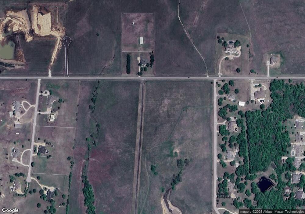
Map
Nearby Homes
- 0 N 3967 Rd Unit 2544345
- 0 N 3967 Rd Unit 2544353
- 0 N 3967 Rd Unit 2544346
- 0 N 3967 Rd Unit 2544341
- 0 N 3967 Rd Unit 2544351
- 23861 US Highway 75
- 4015 Silver Lake Rd
- 397911 W 2400 Rd
- 24200 N 3983 Dr
- 24168 N 3983 Dr
- 24197 N 3983 Dr
- 24138 N 3983 Dr
- 24159 N 3983 Dr
- 24106 N 3983 Dr
- 24066 N 3983 Dr
- 24131 N 3983 Dr
- 24099 N 3983 Dr
- 394440 Gap Rd
- 2601 Rice Creek Rd
- 397843 W 2400 Rd
- 24330 Philson Farm Rd
- 24206 N 3962 Rd
- 0 N 3965 Rd
- 24205 N 3962 Rd
- 24135 N 3962 Rd
- 24177 N 3962 Rd
- 24426 N 3965 Rd
- 396570 W 2437 Rd
- 24158 N 3965 Rd
- 0 N 3962 Rd
- 24290 N 3965 Rd
- 24098 N 3962 Rd
- 396543 W 2437 Rd
- 24332 Philson Farm Rd
- 24536 N 3965 Rd
- 24100 N 3965 Rd
- 24105 N 3962 Rd
- 396595 W 2437 Rd
- 24162 N 3980 Rd
- 477 W 2400 Rd