3965 Roanoke Rd Lagrange, GA 30240
Estimated Value: $214,000 - $251,000
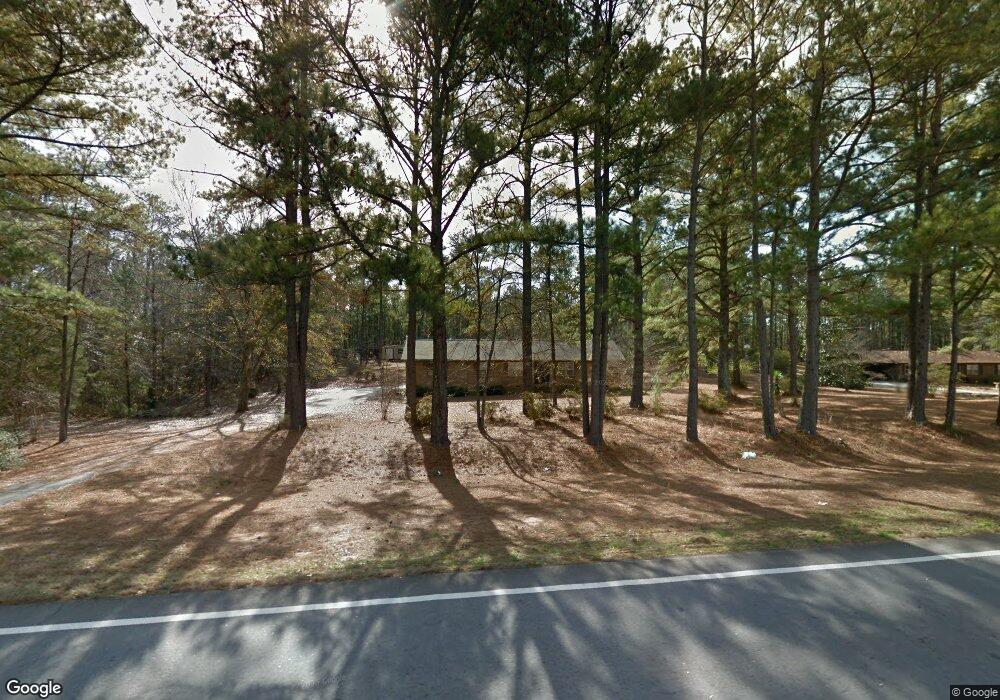
About This Home
This home is located at 3965 Roanoke Rd, Lagrange, GA 30240 and is currently estimated at $232,211, approximately $145 per square foot. 3965 Roanoke Rd is a home located in Troup County with nearby schools including Berta Weathersbee Elementary School, Whitesville Road Elementary School, and Long Cane Elementary School.
Ownership History
We collect this data history from publicly available records. To have your information removed, we recommend requesting removal directly through your county’s website.
Purchase Details
Purchase Details
Purchase Details
Purchase Details
Purchase Details
Purchase Details
Purchase History
We collect this data history from publicly available records. To have your information removed, we recommend requesting removal directly through your county’s website.
| Date | Buyer | Sale Price | Title Company |
|---|---|---|---|
| -- | -- | ||
| $110,000 | -- | ||
| $90,000 | -- | ||
| -- | -- | ||
| -- | -- | ||
| -- | -- |
Tax History
We collect this data history from publicly available records. To have your information removed, we recommend requesting removal directly through your county’s website.
| Year | Tax Paid | Tax Assessment Tax Assessment Total Assessment is a certain percentage of the fair market value that is determined by local assessors to be the total taxable value of land and additions on the property. | Land | Improvement |
|---|---|---|---|---|
| 2025 | $1,894 | $75,296 | $9,760 | $65,536 |
| 2024 | $1,701 | $64,376 | $9,760 | $54,616 |
| 2023 | $1,032 | $57,736 | $9,760 | $47,976 |
| 2022 | $1,469 | $54,616 | $9,760 | $44,856 |
| 2021 | $1,331 | $46,112 | $7,880 | $38,232 |
| 2020 | $1,331 | $46,112 | $7,880 | $38,232 |
| 2019 | $1,374 | $47,552 | $7,880 | $39,672 |
| 2018 | $1,266 | $43,976 | $7,880 | $36,096 |
| 2017 | $1,266 | $43,976 | $7,880 | $36,096 |
| 2016 | $1,267 | $44,001 | $7,903 | $36,098 |
| 2015 | $1,373 | $47,415 | $7,903 | $39,512 |
| 2014 | $1,375 | $47,415 | $7,903 | $39,512 |
| 2013 | -- | $47,415 | $7,903 | $39,512 |
Map
- 106 Mckinley Cir
- 851 Vernon Ferry Rd
- 213 Linda Ln
- 103 Dogwood Ct
- 129 Angela East Dr
- 105 + - Acres On McCosh Mill Rd
- 4.51 ACRES Whatley Rd N
- 0 Deming St Unit 10550189
- 104 Dogwood Point
- 110 Thomas Dr
- 506 Riverside Dr
- 134 N Lake Dr
- 82 Newton Rd
- 1017 Riverside Dr
- 4004 White Oak Ln
- 6 Hastings Ct
- 16 River Point Dr
- 474 Newton Rd
- 62 Maley Rd
- 101 Ivy Springs Dr
- 3985 Roanoke Rd
- 3933 Roanoke Rd
- 101 Linda Ln
- 100 Linda Ln
- 103 Linda Ln
- 102 Linda Ln
- 0 Old Pyne Rd Unit 8407025
- 3924 Roanoke Rd
- 259 Old Pyne Rd
- 105 Linda Ln
- 3910 Roanoke Rd
- 104 Linda Ln
- 106 Linda Ln
- 107 Linda Ln
- 936 Vernon Ferry Rd
- 237 Old Pyne Rd
- 249 Old Pyne Rd
- 949 Vernon Ferry Rd
- 201 Linda Ln
- 920 Vernon Ferry Rd
Ask me questions while you tour the home.