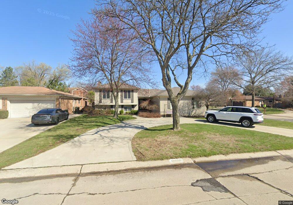
39650 Coalport Dr Clinton Township, MI 48038
Estimated Value: $348,133 - $406,000
--
Bed
1
Bath
2,016
Sq Ft
$181/Sq Ft
Est. Value
About This Home
This home is located at 39650 Coalport Dr, Clinton Township, MI 48038 and is currently estimated at $365,783, approximately $181 per square foot. 39650 Coalport Dr is a home located in Macomb County with nearby schools including Huron Elementary School, Wyandot Middle School, and Chippewa Valley High School.
Ownership History
Date
Name
Owned For
Owner Type
Purchase Details
Closed on
Feb 1, 2005
Sold by
Oconnor Michael L and Oconnor Susan M
Bought by
Clay Amy
Current Estimated Value
Home Financials for this Owner
Home Financials are based on the most recent Mortgage that was taken out on this home.
Original Mortgage
$199,800
Outstanding Balance
$101,756
Interest Rate
5.78%
Mortgage Type
Purchase Money Mortgage
Estimated Equity
$264,027
Create a Home Valuation Report for This Property
The Home Valuation Report is an in-depth analysis detailing your home's value as well as a comparison with similar homes in the area
Home Values in the Area
Average Home Value in this Area
Purchase History
| Date | Buyer | Sale Price | Title Company |
|---|---|---|---|
| Clay Amy | $222,000 | -- | |
| Clay Matthew | -- | -- |
Source: Public Records
Mortgage History
| Date | Status | Borrower | Loan Amount |
|---|---|---|---|
| Open | Clay Matthew | $199,800 |
Source: Public Records
Tax History Compared to Growth
Tax History
| Year | Tax Paid | Tax Assessment Tax Assessment Total Assessment is a certain percentage of the fair market value that is determined by local assessors to be the total taxable value of land and additions on the property. | Land | Improvement |
|---|---|---|---|---|
| 2025 | $3,856 | $162,800 | $0 | $0 |
| 2024 | $2,298 | $152,700 | $0 | $0 |
| 2023 | $2,179 | $126,400 | $0 | $0 |
| 2022 | $3,494 | $115,700 | $0 | $0 |
| 2021 | $3,398 | $112,400 | $0 | $0 |
| 2020 | $1,999 | $110,300 | $0 | $0 |
| 2019 | $3,165 | $103,600 | $0 | $0 |
| 2018 | $3,109 | $95,700 | $0 | $0 |
| 2017 | $3,072 | $88,900 | $19,400 | $69,500 |
| 2016 | $3,053 | $88,900 | $0 | $0 |
| 2015 | -- | $79,900 | $0 | $0 |
| 2014 | -- | $76,600 | $0 | $0 |
| 2011 | -- | $74,000 | $16,600 | $57,400 |
Source: Public Records
Map
Nearby Homes
- 15599 Stockton Dr
- 39519 Twenlow Dr
- 39237 Sunderland Dr
- 39575 Old Dominion Dr
- 15332 Renshaw Dr Unit 115
- 39551 Heatherheath Dr Unit 2
- 39348 Heatherheath Dr Unit 7
- 39563 Heatherheath Dr
- 39043 Cadborough Dr
- 15730 Lorway Dr
- 15492 S Royal Doulton Blvd
- 15775 Nader Ct
- 16513 Edinburgh Dr
- 15786 Bexley St
- 16136 Amore St
- 38797 Windmill Pointe W
- 16583 Waverly Cir Unit 8
- 40739 Ruggero St
- 40883 Highpointe Dr Unit 40
- 40945 Magnolia Dr W Unit 5
- 39664 Coalport Dr
- 39701 Chaffer Ct
- 39678 Coalport Dr
- 39648 Chaffer St
- 39617 Chaffer St
- 39664 Chaffer St
- 39632 Chaffer St
- 39800 Coalport Dr
- 39669 Coalport Dr
- 39680 Chaffer St
- 39727 Chaffer Ct
- 39605 Chaffer St
- 39683 Coalport Dr
- 39840 Coalport Dr
- 39549 Tunstall Dr
- 39696 Chaffer St
- 39850 Coalport Dr
- 39565 Tunstall Dr
- 39533 Tunstall Dr
- 39697 Coalport Dr