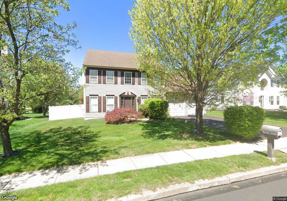
3967 Liz Cir Doylestown, PA 18902
Estimated Value: $768,357 - $900,000
4
Beds
4
Baths
2,458
Sq Ft
$344/Sq Ft
Est. Value
About This Home
This home is located at 3967 Liz Cir, Doylestown, PA 18902 and is currently estimated at $845,589, approximately $344 per square foot. 3967 Liz Cir is a home located in Bucks County with nearby schools including Cold Spring Elementary School, Holicong Middle School, and Central Bucks High School - East.
Ownership History
Date
Name
Owned For
Owner Type
Purchase Details
Closed on
Jul 14, 2010
Sold by
Gerson Marc S and Gerson Deborah K
Bought by
Gerson Marc S
Current Estimated Value
Purchase Details
Closed on
May 13, 2003
Sold by
Gerson Marc S
Bought by
Gerson Marc S and Gerson Deborah K
Home Financials for this Owner
Home Financials are based on the most recent Mortgage that was taken out on this home.
Original Mortgage
$145,000
Interest Rate
5.29%
Mortgage Type
New Conventional
Purchase Details
Closed on
Jul 22, 1999
Sold by
Barnside Development Co Ltd Partnership
Bought by
Gerson Marc S
Home Financials for this Owner
Home Financials are based on the most recent Mortgage that was taken out on this home.
Original Mortgage
$150,000
Interest Rate
7.54%
Create a Home Valuation Report for This Property
The Home Valuation Report is an in-depth analysis detailing your home's value as well as a comparison with similar homes in the area
Home Values in the Area
Average Home Value in this Area
Purchase History
| Date | Buyer | Sale Price | Title Company |
|---|---|---|---|
| Gerson Marc S | -- | None Available | |
| Gerson Marc S | -- | -- | |
| Gerson Marc S | $237,185 | -- |
Source: Public Records
Mortgage History
| Date | Status | Borrower | Loan Amount |
|---|---|---|---|
| Closed | Gerson Marc S | $145,000 | |
| Closed | Gerson Marc S | $150,000 |
Source: Public Records
Tax History Compared to Growth
Tax History
| Year | Tax Paid | Tax Assessment Tax Assessment Total Assessment is a certain percentage of the fair market value that is determined by local assessors to be the total taxable value of land and additions on the property. | Land | Improvement |
|---|---|---|---|---|
| 2025 | $7,444 | $45,720 | $9,680 | $36,040 |
| 2024 | $7,444 | $45,720 | $9,680 | $36,040 |
| 2023 | $7,191 | $45,720 | $9,680 | $36,040 |
| 2022 | $7,105 | $45,720 | $9,680 | $36,040 |
| 2021 | $7,020 | $45,720 | $9,680 | $36,040 |
| 2020 | $7,020 | $45,720 | $9,680 | $36,040 |
| 2019 | $6,975 | $45,720 | $9,680 | $36,040 |
| 2018 | $6,975 | $45,720 | $9,680 | $36,040 |
| 2017 | $6,917 | $45,720 | $9,680 | $36,040 |
| 2016 | $6,986 | $45,720 | $9,680 | $36,040 |
| 2015 | -- | $45,720 | $9,680 | $36,040 |
| 2014 | -- | $45,720 | $9,680 | $36,040 |
Source: Public Records
Map
Nearby Homes
- 4936 Davis Dr
- 4925 Redfield Rd
- 3975 Amberton Ct
- 5063 Sagewood Ct
- 4250 Aly Dr
- 4605 Twinbrook Cir
- 5115 Sugar Hill Ct
- 3689 Hancock Ln
- 4542 Deep Creek Way
- 4201 Sir Andrew Cir
- 3865 Burnt House Hill Rd
- 5281 Harrington Ct
- 4190 Milords Ln
- 3479 Durham Rd
- 3455 Durham Rd
- 3468 Holicong Rd
- 4928 Edgewood Rd
- 5491 Long Ln
- 3555 Northview Ln
- 4221 Enders Way