3968 Hillsdale Dr Unit 203 Auburn Hills, MI 48326
Estimated Value: $464,000 - $492,416
2
Beds
2
Baths
1,821
Sq Ft
$264/Sq Ft
Est. Value
About This Home
This home is located at 3968 Hillsdale Dr Unit 203, Auburn Hills, MI 48326 and is currently estimated at $481,354, approximately $264 per square foot. 3968 Hillsdale Dr Unit 203 is a home located in Oakland County with nearby schools including Rogers Elementary, Pontiac Middle School, and Pontiac High School.
Ownership History
Date
Name
Owned For
Owner Type
Purchase Details
Closed on
Aug 18, 2023
Sold by
James C Baker C and James Hermina C
Bought by
Jaye Dennis and Jaye Mary
Current Estimated Value
Purchase Details
Closed on
Aug 27, 2004
Sold by
Baker James C and Baker Hermina C
Bought by
Baker James C and Baker Hermina C
Purchase Details
Closed on
Jul 31, 2003
Sold by
Heritage Of Auburn Hills Llc
Bought by
Baker James C and Baker Hermina C
Create a Home Valuation Report for This Property
The Home Valuation Report is an in-depth analysis detailing your home's value as well as a comparison with similar homes in the area
Home Values in the Area
Average Home Value in this Area
Purchase History
| Date | Buyer | Sale Price | Title Company |
|---|---|---|---|
| Jaye Dennis | $435,000 | Liberty Title | |
| Jaye Dennis | $435,000 | Liberty Title | |
| Baker James C | -- | -- | |
| Baker James C | $337,374 | -- |
Source: Public Records
Tax History Compared to Growth
Tax History
| Year | Tax Paid | Tax Assessment Tax Assessment Total Assessment is a certain percentage of the fair market value that is determined by local assessors to be the total taxable value of land and additions on the property. | Land | Improvement |
|---|---|---|---|---|
| 2024 | $3,824 | $217,720 | $0 | $0 |
| 2023 | $2,096 | $192,100 | $0 | $0 |
| 2022 | $3,701 | $174,720 | $0 | $0 |
| 2021 | $3,641 | $171,590 | $0 | $0 |
| 2020 | $1,972 | $167,600 | $0 | $0 |
| 2019 | $3,342 | $165,430 | $0 | $0 |
| 2018 | $3,268 | $171,240 | $0 | $0 |
| 2017 | $3,023 | $166,060 | $0 | $0 |
| 2016 | $3,002 | $152,840 | $0 | $0 |
| 2015 | -- | $135,620 | $0 | $0 |
| 2014 | -- | $111,820 | $0 | $0 |
| 2011 | -- | $96,200 | $0 | $0 |
Source: Public Records
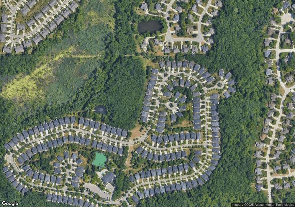
Map
Nearby Homes
- 4035 Hillsdale Dr Unit 275
- 3640 Camden Ct
- 3634 Camden Ct
- 3534 Riverside Dr Unit 141
- 3633 Thornwood Dr
- 3674 Merriweather Ln
- 3780 Bald Mountain Rd
- 3879 Teakwood Ln
- 1906 Independence Ct
- 3095 Bridgewater Rd Unit 30
- 3057 Bridgewater Rd
- 5700 Rolling Hills Dr
- 3273 Salem Dr
- 423 Silvervale Dr
- 3111 Ramzi Ln
- 1609 Kilburn Rd N
- 3639 Heatherwood Ct
- 2935 Woodford Cir
- 3101 Elstead St
- 2638 Patrick Henry Rd
- 3960 Hillsdale Dr Unit 202
- 3970 Hillsdale Dr
- 3958 Hillsdale Dr Unit 201
- 3972 Hillsdale Dr Unit 205
- 3956 Hillsdale Dr
- 3974 Hillsdale Dr
- 3954 Hillsdale Dr
- 3957 Hillsdale Dr
- 3969 Hillsdale Dr Unit 210
- 3952 Hillsdale Dr Unit 198
- 3971 Hillsdale Dr Unit 209
- 3973 Hillsdale Dr
- 3953 Hillsdale Dr Unit 217
- 3975 Hillsdale Dr
- 4000 Hillsdale Dr
- 3950 Hillsdale Dr
- 3950 Hillsdale Dr Unit 197
- 4002 Hillsdale Dr Unit 230
- 3967 Streamwood Ct
- 3702 Crestwood Dr Unit 131