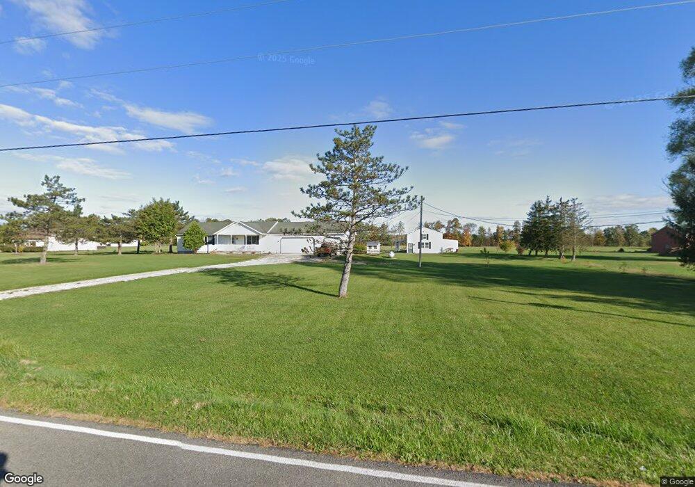
39680 Whitney Rd Lagrange, OH 44050
Estimated Value: $413,000 - $436,000
3
Beds
3
Baths
1,884
Sq Ft
$228/Sq Ft
Est. Value
About This Home
This home is located at 39680 Whitney Rd, Lagrange, OH 44050 and is currently estimated at $429,917, approximately $228 per square foot. 39680 Whitney Rd is a home located in Lorain County with nearby schools including Keystone Elementary School, Keystone Middle School, and Keystone High School.
Ownership History
Date
Name
Owned For
Owner Type
Purchase Details
Closed on
Aug 23, 2023
Sold by
Zarbaugh Deborah M and Zarbaugh Deborah M
Bought by
Nowoslawski Michael G and Nowoslawski Jessica N
Current Estimated Value
Home Financials for this Owner
Home Financials are based on the most recent Mortgage that was taken out on this home.
Original Mortgage
$344,250
Outstanding Balance
$335,296
Interest Rate
6.96%
Mortgage Type
Credit Line Revolving
Estimated Equity
$94,621
Purchase Details
Closed on
May 24, 2008
Sold by
Z Farms Co
Bought by
Zarbaugh Dean R and Zarbaugh Deborah M
Home Financials for this Owner
Home Financials are based on the most recent Mortgage that was taken out on this home.
Original Mortgage
$121,000
Interest Rate
5.93%
Mortgage Type
Purchase Money Mortgage
Create a Home Valuation Report for This Property
The Home Valuation Report is an in-depth analysis detailing your home's value as well as a comparison with similar homes in the area
Home Values in the Area
Average Home Value in this Area
Purchase History
| Date | Buyer | Sale Price | Title Company |
|---|---|---|---|
| Nowoslawski Michael G | $405,000 | None Listed On Document | |
| Zarbaugh Dean R | -- | First American Title Ins Co |
Source: Public Records
Mortgage History
| Date | Status | Borrower | Loan Amount |
|---|---|---|---|
| Open | Nowoslawski Michael G | $344,250 | |
| Previous Owner | Zarbaugh Dean R | $121,000 |
Source: Public Records
Tax History
| Year | Tax Paid | Tax Assessment Tax Assessment Total Assessment is a certain percentage of the fair market value that is determined by local assessors to be the total taxable value of land and additions on the property. | Land | Improvement |
|---|---|---|---|---|
| 2024 | $4,981 | $121,310 | $39,414 | $81,897 |
| 2023 | $4,687 | $104,619 | $33,240 | $71,379 |
| 2022 | $4,673 | $104,619 | $33,240 | $71,379 |
| 2021 | $4,673 | $104,619 | $33,240 | $71,379 |
| 2020 | $4,204 | $85,610 | $27,200 | $58,410 |
| 2019 | $4,178 | $85,610 | $27,200 | $58,410 |
| 2018 | $3,814 | $85,610 | $27,200 | $58,410 |
| 2017 | $3,552 | $71,420 | $23,450 | $47,970 |
| 2016 | $3,526 | $71,420 | $23,450 | $47,970 |
| 2015 | $3,521 | $71,420 | $23,450 | $47,970 |
| 2014 | $3,075 | $71,420 | $23,450 | $47,970 |
| 2013 | $2,980 | $71,420 | $23,450 | $47,970 |
Source: Public Records
Map
Nearby Homes
- 40260 Whitney Rd
- 0 Dill Ct Unit 5072837
- 110 Railroad St
- 317 Church St
- 305 W Main St
- 516 Appomattox Ct
- 548 William St
- 801 Willich Ct
- 17058 Chamberlain Rd
- 567 Vicksburg Ct
- 800 Buckingham Dr
- 808 Buckingham Dr
- 340 Granger Dr
- 829 Robinson Dr
- 42113 Meadow Ln
- 510 Arabian Ct
- 476 Stallion Ct
- 468 Stallion Ct
- 20630 State Route 301
- 704 Black Bear Run
- 39730 Whitney Rd
- 39610 Whitney Rd
- 39828 Whitney Rd
- 17978 Indian Hollow Rd
- 17894 Indian Hollow Rd
- 39898 Whitney Rd
- 17850 Indian Hollow Rd
- 1 Whitney Unit 1
- 18150 Indian Hollow Rd
- 18236 Indian Hollow Rd
- 18123 Indian Hollow Rd
- 17756 Indian Hollow Rd
- 17856 Indian Hollow Rd
- 18294 Indian Hollow Rd
- 18294 Indian Hollow Rd
- 17795 Indian Hollow Rd
- 17738 Indian Hollow Rd
- 18183 Indian Hollow Rd
- 40048 Whitney Rd
- 39993 Whitney Rd
Your Personal Tour Guide
Ask me questions while you tour the home.