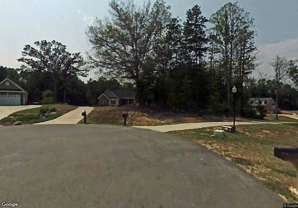
397 Ada Ln Clemmons, NC 27012
Estimated Value: $408,000 - $474,000
3
Beds
2
Baths
4,667
Sq Ft
$96/Sq Ft
Est. Value
About This Home
This home is located at 397 Ada Ln, Clemmons, NC 27012 and is currently estimated at $446,220, approximately $95 per square foot. 397 Ada Ln is a home located in Davidson County with nearby schools including Northwest Elementary School, North Davidson Middle School, and North Davidson High School.
Ownership History
Date
Name
Owned For
Owner Type
Purchase Details
Closed on
Aug 10, 2005
Sold by
Allen Custom Homes Inc
Bought by
Snyder Randall Jeffery and Snyder Sharon Snapp
Current Estimated Value
Home Financials for this Owner
Home Financials are based on the most recent Mortgage that was taken out on this home.
Original Mortgage
$73,000
Interest Rate
5.57%
Mortgage Type
Purchase Money Mortgage
Purchase Details
Closed on
Oct 22, 2004
Sold by
Landplus Inc
Bought by
Allen Custom Homes
Create a Home Valuation Report for This Property
The Home Valuation Report is an in-depth analysis detailing your home's value as well as a comparison with similar homes in the area
Purchase History
| Date | Buyer | Sale Price | Title Company |
|---|---|---|---|
| Snyder Randall Jeffery | $218,000 | None Available | |
| Allen Custom Homes | $34,000 | -- |
Source: Public Records
Mortgage History
| Date | Status | Borrower | Loan Amount |
|---|---|---|---|
| Previous Owner | Snyder Randall Jeffery | $73,000 |
Source: Public Records
Tax History
| Year | Tax Paid | Tax Assessment Tax Assessment Total Assessment is a certain percentage of the fair market value that is determined by local assessors to be the total taxable value of land and additions on the property. | Land | Improvement |
|---|---|---|---|---|
| 2025 | $1,887 | $299,410 | $0 | $0 |
| 2024 | $1,884 | $298,820 | $0 | $0 |
| 2023 | $1,912 | $298,820 | $0 | $0 |
| 2022 | $1,884 | $298,820 | $0 | $0 |
| 2021 | $1,884 | $298,820 | $0 | $0 |
| 2020 | $1,441 | $228,620 | $0 | $0 |
| 2019 | $1,417 | $228,620 | $0 | $0 |
| 2018 | $1,416 | $228,460 | $0 | $0 |
| 2017 | $1,416 | $228,460 | $0 | $0 |
| 2016 | $1,416 | $228,460 | $0 | $0 |
| 2015 | $1,416 | $228,460 | $0 | $0 |
| 2014 | $1,477 | $238,300 | $0 | $0 |
Source: Public Records
Map
Nearby Homes
- 215 Enclave Dr
- 249 Enclave Dr
- 230 Enclave Dr
- 393 Enclave Dr
- 408 Enclave Dr
- 286 Meadowfield Run
- 190 Reedy Creek Ct
- 348 Reedy Creek Ct
- 101 Shady Oak Ct
- 3369 Frye Bridge Rd
- 112 Hackamore Trail
- 4150 Welcome Arcadia Rd
- 149 Old Mill Farm Rd
- 360 Sunset Rd
- 438 River Pines Trail
- 270 Plumstead Ln
- 245 Centenary Ridge Dr
- 338 River Pines Trail
- 280 NW Elementary Rd
- 178 Wickham Ct
Your Personal Tour Guide
Ask me questions while you tour the home.