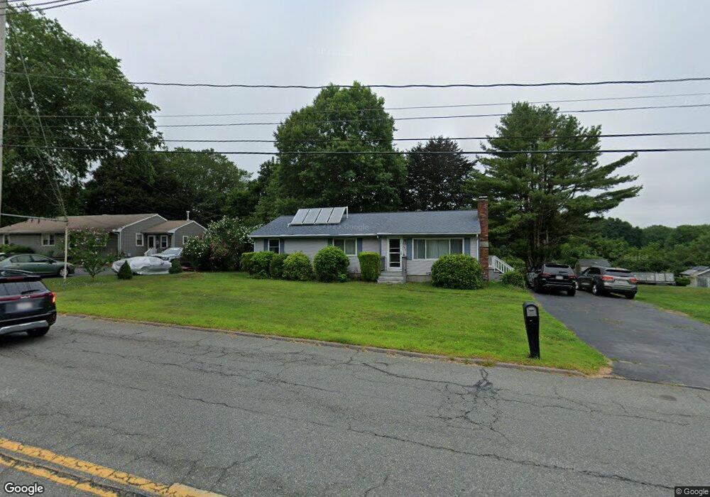
397 Cross Rd North Dartmouth, MA 02747
Smith Mills NeighborhoodEstimated Value: $471,000 - $549,000
3
Beds
1
Bath
1,496
Sq Ft
$341/Sq Ft
Est. Value
About This Home
This home is located at 397 Cross Rd, North Dartmouth, MA 02747 and is currently estimated at $510,851, approximately $341 per square foot. 397 Cross Rd is a home located in Bristol County with nearby schools including Dartmouth High School, Nazarene Christian Academy, and Friends Academy.
Ownership History
Date
Name
Owned For
Owner Type
Purchase Details
Closed on
Dec 3, 2020
Sold by
Corchado Phyllis L
Bought by
Almeida-Corchado June and Corchado Louie P
Current Estimated Value
Home Financials for this Owner
Home Financials are based on the most recent Mortgage that was taken out on this home.
Original Mortgage
$205,000
Outstanding Balance
$182,837
Interest Rate
2.8%
Mortgage Type
New Conventional
Estimated Equity
$328,014
Purchase Details
Closed on
Jun 15, 1994
Sold by
Corchado Paul G
Bought by
Corchado Phyllis L
Home Financials for this Owner
Home Financials are based on the most recent Mortgage that was taken out on this home.
Original Mortgage
$60,000
Interest Rate
8.5%
Mortgage Type
Purchase Money Mortgage
Create a Home Valuation Report for This Property
The Home Valuation Report is an in-depth analysis detailing your home's value as well as a comparison with similar homes in the area
Home Values in the Area
Average Home Value in this Area
Purchase History
| Date | Buyer | Sale Price | Title Company |
|---|---|---|---|
| Almeida-Corchado June | $300,000 | None Available | |
| Corchado Phyllis L | $58,500 | -- |
Source: Public Records
Mortgage History
| Date | Status | Borrower | Loan Amount |
|---|---|---|---|
| Open | Almeida-Corchado June | $205,000 | |
| Previous Owner | Corchado Phyllis L | $73,000 | |
| Previous Owner | Corchado Phyllis L | $60,000 | |
| Previous Owner | Corchado Phyllis L | $25,000 |
Source: Public Records
Tax History Compared to Growth
Tax History
| Year | Tax Paid | Tax Assessment Tax Assessment Total Assessment is a certain percentage of the fair market value that is determined by local assessors to be the total taxable value of land and additions on the property. | Land | Improvement |
|---|---|---|---|---|
| 2025 | $3,316 | $366,400 | $139,200 | $227,200 |
| 2024 | $3,255 | $356,100 | $139,200 | $216,900 |
| 2023 | $3,250 | $335,400 | $139,200 | $196,200 |
| 2022 | $3,139 | $303,000 | $139,200 | $163,800 |
| 2021 | $3,131 | $289,100 | $135,100 | $154,000 |
| 2020 | $3,059 | $281,200 | $133,800 | $147,400 |
| 2019 | $2,974 | $274,100 | $128,400 | $145,700 |
| 2018 | $2,729 | $260,600 | $131,100 | $129,500 |
| 2017 | $2,644 | $248,500 | $121,100 | $127,400 |
| 2016 | $2,400 | $226,800 | $107,100 | $119,700 |
| 2015 | $2,327 | $221,400 | $100,100 | $121,300 |
| 2014 | $2,257 | $216,200 | $97,300 | $118,900 |
Source: Public Records
Map
Nearby Homes
- 368 Cross Rd
- 0 Mosher Ln Unit 73370974
- 4 Sabrina Way Unit G
- 4 Sabrina Way Unit H
- 4 Sabrina Way Unit A
- 4 Sabrina Way Unit E
- 4 Sabrina Way Unit F
- 4 Sabrina Way Unit C
- 4 Sabrina Way Unit B
- 4 Sabrina Way Unit D
- 4 Sabrinas Way
- 0 Undisclosed Unit 73376281
- Block 30 Hixville Rd
- Block 27 Hixville Rd
- 496-L62M40 Hixville Rd
- 00 Hixville Rd
- Block 14 Hixville Rd
- 411 Faunce Corner Rd
- 491 Faunce Corner Rd
- 28 Greystone Ave