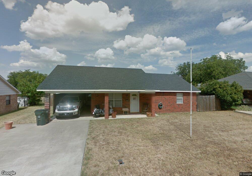
397 Elm St Lone Grove, OK 73443
Estimated Value: $154,072 - $168,000
2
Beds
1
Bath
1,273
Sq Ft
$127/Sq Ft
Est. Value
About This Home
This home is located at 397 Elm St, Lone Grove, OK 73443 and is currently estimated at $161,768, approximately $127 per square foot. 397 Elm St is a home located in Carter County with nearby schools including Lone Grove Primary School, Lone Grove Intermediate School, and Lone Grove Middle School.
Ownership History
Date
Name
Owned For
Owner Type
Purchase Details
Closed on
Mar 12, 2008
Sold by
Mapp Angie J
Bought by
Champberlain Calvin Michael
Current Estimated Value
Home Financials for this Owner
Home Financials are based on the most recent Mortgage that was taken out on this home.
Original Mortgage
$93,000
Outstanding Balance
$57,875
Interest Rate
5.72%
Mortgage Type
New Conventional
Estimated Equity
$103,893
Purchase Details
Closed on
Jun 12, 2000
Sold by
Mapp Richard and Mapp Angelia
Bought by
Mapp Angie J
Create a Home Valuation Report for This Property
The Home Valuation Report is an in-depth analysis detailing your home's value as well as a comparison with similar homes in the area
Home Values in the Area
Average Home Value in this Area
Purchase History
| Date | Buyer | Sale Price | Title Company |
|---|---|---|---|
| Champberlain Calvin Michael | $93,000 | -- | |
| Mapp Angie J | -- | -- |
Source: Public Records
Mortgage History
| Date | Status | Borrower | Loan Amount |
|---|---|---|---|
| Open | Champberlain Calvin Michael | $93,000 |
Source: Public Records
Tax History Compared to Growth
Tax History
| Year | Tax Paid | Tax Assessment Tax Assessment Total Assessment is a certain percentage of the fair market value that is determined by local assessors to be the total taxable value of land and additions on the property. | Land | Improvement |
|---|---|---|---|---|
| 2024 | $1,281 | $13,242 | $1,200 | $12,042 |
| 2023 | $1,281 | $12,856 | $1,200 | $11,656 |
| 2022 | $1,227 | $12,856 | $1,200 | $11,656 |
| 2021 | $1,234 | $12,856 | $1,200 | $11,656 |
| 2020 | $1,227 | $12,856 | $1,200 | $11,656 |
| 2019 | $1,243 | $13,027 | $1,188 | $11,839 |
| 2018 | $1,216 | $12,648 | $1,128 | $11,520 |
| 2017 | $1,173 | $12,279 | $1,155 | $11,124 |
| 2016 | $1,132 | $11,922 | $800 | $11,122 |
| 2015 | $1,145 | $10,952 | $420 | $10,532 |
| 2014 | $1,114 | $11,077 | $420 | $10,657 |
Source: Public Records
Map
Nearby Homes
- 1320 Evergreen St
- 201 Church St
- 318 Wisteria St
- 0 Callahan Rd
- 230 Birch St
- 185 Laurel St
- 0 State Highway 70
- 29 Callahan Rd
- 86 Wisteria St
- 6892 Meridian Rd
- 0 Evergreen St
- 656 Evergreen St
- 0 Conoco Rd Unit 2506021
- 4480 Memorial Rd
- 298 Evergreen St
- 17899 Us Highway 70
- 8753 Prairie Valley Rd
- 0 Kelly Ln
- 7750 Prairie Valley Rd
- 0 Tanglewood Ct Unit 2529002