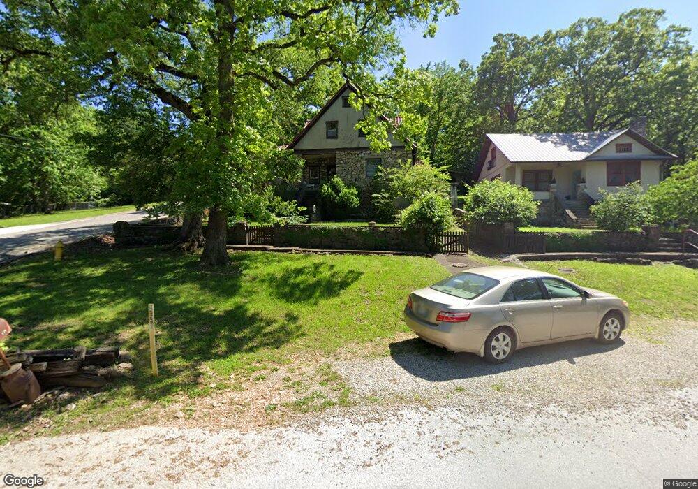
397 Esplanade Dr Hollister, MO 65672
Estimated Value: $235,000 - $458,000
3
Beds
3
Baths
2,390
Sq Ft
$126/Sq Ft
Est. Value
About This Home
This home is located at 397 Esplanade Dr, Hollister, MO 65672 and is currently estimated at $302,016, approximately $126 per square foot. 397 Esplanade Dr is a home located in Taney County with nearby schools including Hollister Elementary School, Hollister Middle School, and Hollister High School.
Ownership History
Date
Name
Owned For
Owner Type
Purchase Details
Closed on
Sep 8, 2017
Sold by
Mccauley Mark D and Mccauley Donel E
Bought by
Mccauley Mark D and Mccauley Donel E
Current Estimated Value
Purchase Details
Closed on
Sep 18, 2013
Sold by
Mccauley Mark Douglas and Mccauley Donel E
Bought by
Farmer Matthew S
Home Financials for this Owner
Home Financials are based on the most recent Mortgage that was taken out on this home.
Original Mortgage
$101,938
Outstanding Balance
$76,220
Interest Rate
4.45%
Mortgage Type
New Conventional
Estimated Equity
$225,796
Create a Home Valuation Report for This Property
The Home Valuation Report is an in-depth analysis detailing your home's value as well as a comparison with similar homes in the area
Home Values in the Area
Average Home Value in this Area
Purchase History
| Date | Buyer | Sale Price | Title Company |
|---|---|---|---|
| Mccauley Mark D | -- | Accommodation | |
| Farmer Matthew S | -- | None Available |
Source: Public Records
Mortgage History
| Date | Status | Borrower | Loan Amount |
|---|---|---|---|
| Open | Farmer Matthew S | $101,938 |
Source: Public Records
Tax History
| Year | Tax Paid | Tax Assessment Tax Assessment Total Assessment is a certain percentage of the fair market value that is determined by local assessors to be the total taxable value of land and additions on the property. | Land | Improvement |
|---|---|---|---|---|
| 2025 | $1,118 | $14,260 | -- | -- |
| 2023 | $1,118 | $20,160 | $0 | $0 |
| 2022 | $749 | $13,710 | $0 | $0 |
| 2021 | $724 | $13,710 | $0 | $0 |
| 2019 | $656 | $12,150 | $0 | $0 |
| 2018 | $645 | $11,720 | $0 | $0 |
| 2017 | $638 | $11,720 | $0 | $0 |
| 2016 | $631 | $11,720 | $0 | $0 |
| 2015 | $627 | $11,720 | $0 | $0 |
| 2014 | $604 | $11,220 | $0 | $0 |
Source: Public Records
Map
Nearby Homes
- 3292 Maple St
- 393 Walnut St
- Tbd Walnut St
- 2229 S Business 65
- Tbd Taneycomo Hill Dr Unit Lot 7
- Tbd Taneycomo Hill Dr Unit Lot 1
- Tbd Taneycomo Hill Dr Unit Lot 10
- Tbd Taneycomo Hill Dr Unit Lot 11
- Tbd Taneycomo Hill Dr Unit Lot 2
- Tbd Taneycomo Hill Dr Unit Lot 9
- Tbd Taneycomo Hill Dr Unit Lot 3
- 331 Evergreen Ave
- 182 Gumdrop Dr
- 530 Taneycomo Hill Dr
- 495 Evergreen Ave
- 2866 Maple St
- 2783 Maple St
- 24 & 25 Lakeview Dr
- 000 Lakeview Dr
- 265 Lakeview Dr
- 399 Esplanade Dr
- 3307 Maple St
- 359 Esplanade Dr
- 3320 Maple St
- 401 Walnut St Unit Lot 147 A
- 401 Walnut St
- 413 Walnut St
- 001 & 002 Esplanade
- 3281& 3283 Maple St
- 3281 &3283 Maple St
- 331 Esplanade Dr
- 417 Walnut St
- 268 2nd St
- 3280 Maple St
- 286 2nd St
- 272 N Esplanade
- 208 2nd St
- 190 2nd St
- 000 2nd St
- 291 Esplanade Dr
Your Personal Tour Guide
Ask me questions while you tour the home.