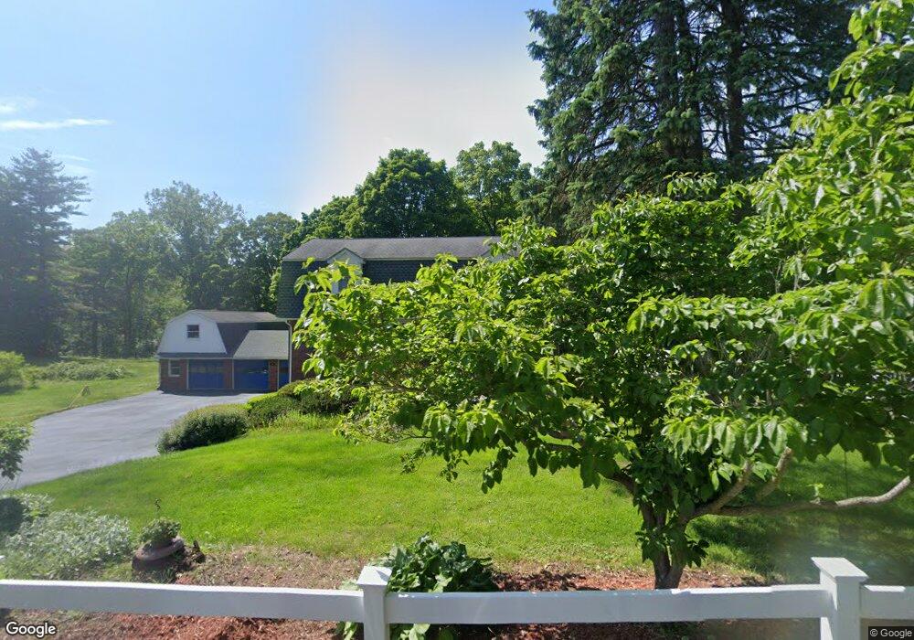
397 Mountain Rd Holyoke, MA 01040
Estimated Value: $576,000 - $705,000
6
Beds
3
Baths
3,751
Sq Ft
$164/Sq Ft
Est. Value
About This Home
This home is located at 397 Mountain Rd, Holyoke, MA 01040 and is currently estimated at $616,183, approximately $164 per square foot. 397 Mountain Rd is a home located in Hampden County with nearby schools including Lt. Elmer J. McMahon Elementary School, Lt. Clayre Sullivan Elementary School, and Holyoke High School.
Ownership History
Date
Name
Owned For
Owner Type
Purchase Details
Closed on
Aug 28, 2015
Sold by
Walsh John T and Walsh Carol E
Bought by
Walsh Daniel and Walsh Dennis
Current Estimated Value
Purchase Details
Closed on
Nov 7, 2014
Sold by
Walsh John T and Walsh Carol E
Bought by
Walsh John T and Walsh Carol E
Purchase Details
Closed on
Nov 17, 1964
Bought by
Walsh John T and Walsh Carol E
Create a Home Valuation Report for This Property
The Home Valuation Report is an in-depth analysis detailing your home's value as well as a comparison with similar homes in the area
Home Values in the Area
Average Home Value in this Area
Purchase History
| Date | Buyer | Sale Price | Title Company |
|---|---|---|---|
| Walsh Daniel | -- | -- | |
| Walsh John T | -- | -- | |
| Walsh John T | -- | -- |
Source: Public Records
Mortgage History
| Date | Status | Borrower | Loan Amount |
|---|---|---|---|
| Previous Owner | Walsh John T | $64,700 |
Source: Public Records
Tax History
| Year | Tax Paid | Tax Assessment Tax Assessment Total Assessment is a certain percentage of the fair market value that is determined by local assessors to be the total taxable value of land and additions on the property. | Land | Improvement |
|---|---|---|---|---|
| 2025 | $8,723 | $499,600 | $96,700 | $402,900 |
| 2024 | $8,298 | $437,900 | $92,000 | $345,900 |
| 2023 | $7,928 | $422,600 | $92,000 | $330,600 |
| 2022 | $7,639 | $396,600 | $92,000 | $304,600 |
| 2021 | $7,267 | $377,100 | $88,900 | $288,200 |
| 2020 | $6,886 | $360,900 | $88,900 | $272,000 |
| 2019 | $6,867 | $356,000 | $88,900 | $267,100 |
| 2018 | $6,544 | $342,100 | $88,900 | $253,200 |
| 2017 | $6,558 | $342,100 | $88,900 | $253,200 |
| 2016 | $6,422 | $335,900 | $91,100 | $244,800 |
| 2015 | $5,864 | $308,000 | $63,200 | $244,800 |
Source: Public Records
Map
Nearby Homes
- Lot 3 Mountain Rd
- 36 County Rd
- 308 Apremont Hwy
- 350 Homestead Ave
- 7 Western View Rd
- 147 Sheehan Dr
- 28 Cook Rd
- 37 Sun Valley Rd
- 3 Homestead Ave
- 1 Homestead Ave
- 2 Homestead Ave
- 337 Westfield Rd
- 11 Cook Rd
- 57 White Loaf Rd
- 19 Cottage Ave
- 106 Vermont St
- 62 Campbell Dr
- 150 Middle Rd
- 21 Francis Ave
- 21 Old County Rd
- 405 Mountain Rd
- 406 Mountain Rd
- 394 Mountain Rd
- 421 Mountain Rd
- 422 Mountain Rd
- 377 Mountain Rd
- 427 Mountain Rd
- 414 Mountain Rd
- 431 Mountain Rd
- 437 Mountain Rd
- 440 Mountain Rd
- 360 Mountain Rd
- 445 Mountain Rd
- 450 Mountain Rd
- 453 Mountain Rd
- 341 Mountain Rd
- 460 Mountain Rd
- 338 Mountain Rd
- 331 Mountain Rd
- 476 Mountain Rd
Your Personal Tour Guide
Ask me questions while you tour the home.