397 Roosevelt Rd Haddock, GA 31033
Estimated Value: $123,394 - $266,000
Studio
1
Bath
1,770
Sq Ft
$107/Sq Ft
Est. Value
About This Home
This home is located at 397 Roosevelt Rd, Haddock, GA 31033 and is currently estimated at $188,849, approximately $106 per square foot. 397 Roosevelt Rd is a home located in Jones County with nearby schools including Gray Elementary School, Gray Station Middle School, and Jones County High School.
Ownership History
Date
Name
Owned For
Owner Type
Purchase Details
Closed on
Jun 12, 2024
Sold by
Kitchens Sophia
Bought by
Freeman Bernard Gary and Freeman Erica Tomeka
Current Estimated Value
Purchase Details
Closed on
Oct 19, 2010
Sold by
Freeman Bernard G Gary
Bought by
Kitchens Sophia Pearl
Create a Home Valuation Report for This Property
The Home Valuation Report is an in-depth analysis detailing your home's value as well as a comparison with similar homes in the area
Purchase History
| Date | Buyer | Sale Price | Title Company |
|---|---|---|---|
| Freeman Bernard Gary | -- | -- | |
| Kitchens Sophia Pearl | -- | -- |
Source: Public Records
Tax History
| Year | Tax Paid | Tax Assessment Tax Assessment Total Assessment is a certain percentage of the fair market value that is determined by local assessors to be the total taxable value of land and additions on the property. | Land | Improvement |
|---|---|---|---|---|
| 2025 | $1,131 | $34,483 | $2,925 | $31,558 |
| 2024 | $1,089 | $30,660 | $1,950 | $28,710 |
| 2023 | $921 | $25,642 | $1,950 | $23,692 |
| 2022 | $918 | $25,544 | $1,852 | $23,692 |
| 2021 | $919 | $25,544 | $1,852 | $23,692 |
| 2020 | $919 | $25,544 | $1,852 | $23,692 |
| 2019 | $919 | $25,544 | $1,852 | $23,692 |
| 2018 | $919 | $25,544 | $1,852 | $23,692 |
| 2017 | $919 | $25,544 | $1,852 | $23,692 |
| 2016 | $919 | $25,544 | $1,852 | $23,692 |
| 2015 | $869 | $25,544 | $1,852 | $23,692 |
| 2014 | $800 | $25,544 | $1,852 | $23,692 |
Source: Public Records
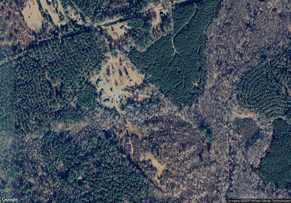
Map
Nearby Homes
- 1850 Stallings Rd
- 386 Nelson Rd NW
- 673 Parham Rd NW
- 777 Parham Rd NW
- 708 Parham Rd NW
- 642 Parham Rd NW
- 315 Nelson Rd NW
- 124 Myrick Rd NW
- 114 Allens Aly
- 125 Bentley Dr NW
- 556 Old Monticello Rd NW
- 0 Phillips Rd Unit 10307410
- 162 Bentley Dr NW
- 116 N Oak St
- 166 Montego Bay Rd NW
- 166C Montego Bay Rd NW
- 168 Peach St
- 106 Oak Ln
- 34 Ash St
- 138 Napier Mill Rd
- 399 Roosevelt Rd
- 381 Roosevelt Rd
- 396 Roosevelt Rd
- 388 Roosevelt Rd
- 518 Ellis Church Rd
- 548 Ellis Church Rd
- 511 Ellis Church Rd
- 394 Roosevelt Rd
- 321 Roosevelt Rd
- 628 Ellis Church Rd
- 0 Ellis Church Rd
- 0 Ellis Church Unit 9018093
- 219 Roosevelt Rd
- 669 Ellis Church Rd
- 247 Roosevelt Rd
- 775 Stallings Rd
- 761 Stallings Rd
- 0 Stallings Rd Unit 23077984
- 0 Stallings Rd Unit 10367238
- 0 Stallings Rd Unit 10328444
Your Personal Tour Guide
Ask me questions while you tour the home.