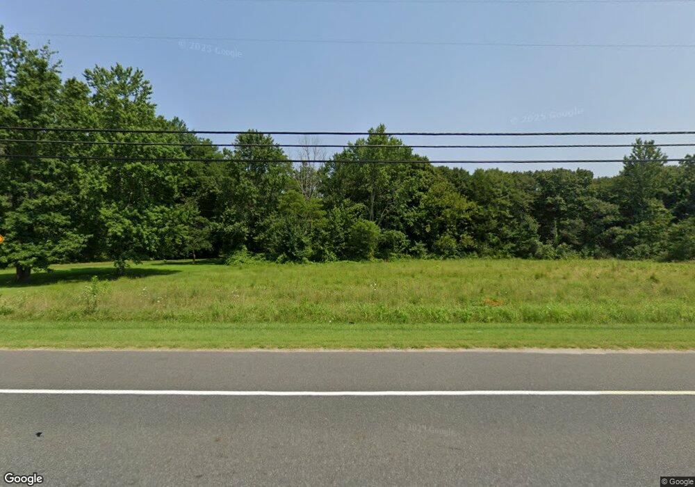
397 Route 49 Woodbine, NJ 08270
Estimated Value: $524,829 - $672,000
--
Bed
--
Bath
2,985
Sq Ft
$206/Sq Ft
Est. Value
About This Home
This home is located at 397 Route 49, Woodbine, NJ 08270 and is currently estimated at $613,610, approximately $205 per square foot. 397 Route 49 is a home located in Cape May County with nearby schools including Upper Township Primary School, Upper Township Elementary School, and Upper Township Middle School.
Ownership History
Date
Name
Owned For
Owner Type
Purchase Details
Closed on
Mar 28, 1992
Sold by
Simmerman William L and Simmerman Barbara K
Bought by
Jones Charles W and Jones Anna L
Current Estimated Value
Purchase Details
Closed on
Nov 18, 1991
Sold by
Simmerman William L and Simmerman Barbara K
Bought by
Perry Roger and Perry Barbara
Purchase Details
Closed on
Mar 23, 1990
Sold by
Simmerman William L and Simmerman Barbara K
Bought by
Atlantic City Electri Co
Purchase Details
Closed on
Dec 12, 1989
Sold by
Simmerman William and Simmerman Barbara
Bought by
Jones Charles and Jones Anna
Purchase Details
Closed on
Aug 30, 1989
Sold by
Budd Cynthia and Budd Milton
Bought by
Shone Theresa
Create a Home Valuation Report for This Property
The Home Valuation Report is an in-depth analysis detailing your home's value as well as a comparison with similar homes in the area
Home Values in the Area
Average Home Value in this Area
Purchase History
| Date | Buyer | Sale Price | Title Company |
|---|---|---|---|
| Jones Charles W | -- | -- | |
| Perry Roger | $75,000 | -- | |
| Perry Roger | $75,000 | -- | |
| Atlantic City Electri Co | -- | -- | |
| Jones Charles | -- | -- | |
| Shone Theresa | -- | -- | |
| Simmerman William | $66,000 | -- | |
| Shoneteresa | -- | -- |
Source: Public Records
Tax History Compared to Growth
Tax History
| Year | Tax Paid | Tax Assessment Tax Assessment Total Assessment is a certain percentage of the fair market value that is determined by local assessors to be the total taxable value of land and additions on the property. | Land | Improvement |
|---|---|---|---|---|
| 2025 | $8,332 | $353,800 | $112,200 | $241,600 |
| 2024 | $8,332 | $353,800 | $112,200 | $241,600 |
| 2023 | $7,936 | $353,800 | $112,200 | $241,600 |
| 2022 | $7,692 | $353,800 | $112,200 | $241,600 |
| 2021 | $5,033 | $353,800 | $112,200 | $241,600 |
| 2020 | $7,157 | $353,800 | $112,200 | $241,600 |
| 2019 | $6,995 | $353,800 | $112,200 | $241,600 |
| 2018 | $6,818 | $353,800 | $112,200 | $241,600 |
| 2017 | $6,733 | $353,800 | $112,200 | $241,600 |
| 2016 | $6,843 | $353,800 | $112,200 | $241,600 |
| 2015 | $6,641 | $353,800 | $112,200 | $241,600 |
| 2014 | $6,294 | $412,200 | $174,800 | $237,400 |
Source: Public Records
Map
Nearby Homes
- 000 New Jersey 49
- 465 Route 49 Unit 63
- 465 Route 49 Unit 118
- 116 Head of River Rd
- 120 Head of River Rd
- 126 Buck Hill Rd
- 104 Head of River Rd
- 104 Church Rd
- 27 Cedar Ave
- 120 W Poplar Ave
- 115 Rte 50
- 2334 Route 50
- 50 School House Ln
- 101 Whitman Ln
- 238 New Jersey 50
- 17 Deerfield Trail
- 8 Deerfield Trail
- 400 10th St
- 1520 Route 50
- 387 Marshallville Rd
- 407 Route 49
- 401 Route 49
- 465 Route 49
- 420 Route 49
- 465 Rt 49
- 379 Marshallville Rd
- 411 Route 49
- 383 Marshallville Rd
- 415 Route 49
- 417 Route 49
- 417 New Jersey 49
- 412 New Jersey 49
- 421 Route 49
- 421 Aetna Dr
- 420 Route 49
- 420 New Jersey 49
- 424 Route 49
- 371 Marshallville Rd
- 423 Aetna Dr
