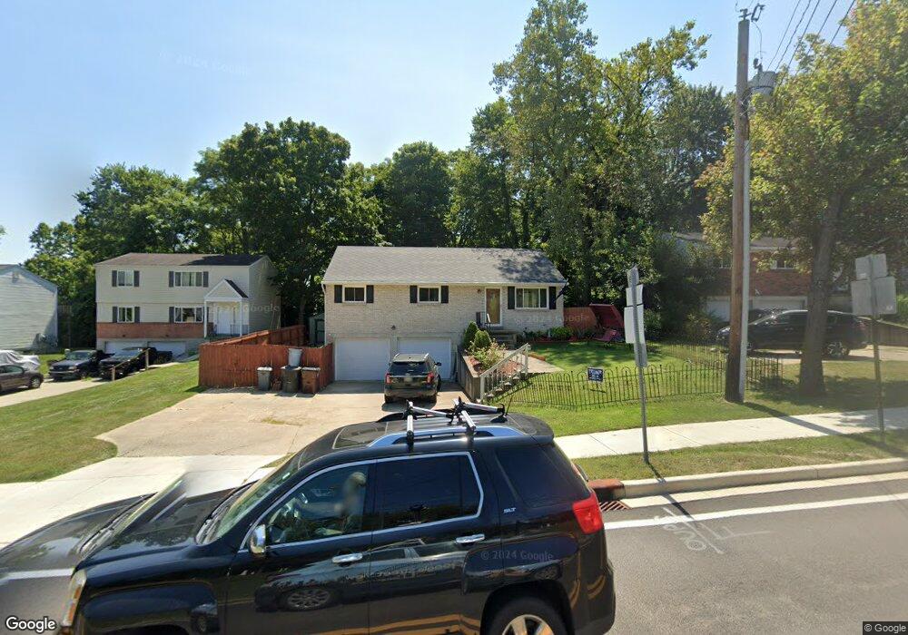
397 State Route 725 W Camden, OH 45311
Estimated Value: $174,856 - $204,000
3
Beds
2
Baths
1,120
Sq Ft
$169/Sq Ft
Est. Value
About This Home
This home is located at 397 State Route 725 W, Camden, OH 45311 and is currently estimated at $189,714, approximately $169 per square foot. 397 State Route 725 W is a home located in Preble County with nearby schools including Preble Shawnee Elementary School, West Elkton Intermediate School, and Preble Shawnee Junior/Senior High School.
Ownership History
Date
Name
Owned For
Owner Type
Purchase Details
Closed on
Jun 26, 2002
Sold by
Marchant Claire
Bought by
Hawk Gerald D
Current Estimated Value
Home Financials for this Owner
Home Financials are based on the most recent Mortgage that was taken out on this home.
Original Mortgage
$44,000
Outstanding Balance
$18,943
Interest Rate
6.93%
Mortgage Type
New Conventional
Estimated Equity
$170,771
Purchase Details
Closed on
Sep 28, 1995
Sold by
Rutenschroer Larry H
Bought by
Marchant Claire
Home Financials for this Owner
Home Financials are based on the most recent Mortgage that was taken out on this home.
Original Mortgage
$66,500
Interest Rate
8%
Mortgage Type
New Conventional
Create a Home Valuation Report for This Property
The Home Valuation Report is an in-depth analysis detailing your home's value as well as a comparison with similar homes in the area
Home Values in the Area
Average Home Value in this Area
Purchase History
| Date | Buyer | Sale Price | Title Company |
|---|---|---|---|
| Hawk Gerald D | $69,500 | -- | |
| Marchant Claire | $73,900 | -- |
Source: Public Records
Mortgage History
| Date | Status | Borrower | Loan Amount |
|---|---|---|---|
| Open | Hawk Gerald D | $44,000 | |
| Previous Owner | Marchant Claire | $66,500 |
Source: Public Records
Tax History Compared to Growth
Tax History
| Year | Tax Paid | Tax Assessment Tax Assessment Total Assessment is a certain percentage of the fair market value that is determined by local assessors to be the total taxable value of land and additions on the property. | Land | Improvement |
|---|---|---|---|---|
| 2024 | $1,390 | $35,110 | $4,940 | $30,170 |
| 2023 | $1,390 | $35,110 | $4,940 | $30,170 |
| 2022 | $1,141 | $27,090 | $3,010 | $24,080 |
| 2021 | $1,264 | $27,090 | $3,010 | $24,080 |
| 2020 | $1,218 | $27,090 | $3,010 | $24,080 |
| 2019 | $1,248 | $26,780 | $3,010 | $23,770 |
| 2018 | $1,285 | $26,780 | $3,010 | $23,770 |
| 2017 | $1,213 | $26,780 | $3,010 | $23,770 |
| 2016 | $1,142 | $25,210 | $2,910 | $22,300 |
| 2014 | $1,187 | $25,210 | $2,910 | $22,300 |
| 2013 | $1,395 | $29,120 | $2,905 | $26,215 |
Source: Public Records
Map
Nearby Homes
- 388 W Hendricks St
- 407 W Central Ave
- 131 S Lafayette St
- 103 Katherine Ct
- 471 Camden West Elkton Rd
- 725 Sr
- 759 Barnetts Mill Rd
- 679 Oxford Germantown Rd
- 1246 Oxford Germantown Rd
- 1222 Oxford Germantown Rd
- 314 Lakengren Dr
- 0 Oxford Germantown Rd
- 820 Lars Cove
- 817 Old Norse Dr
- 0 Lars Cove Unit 1745954
- 805 Brande Dr
- 787 Baltic Dr
- 250 Lakengren Dr
- 0 Valhalla Cove Unit 941078
- 127 Voyage Dr
- 397 W Central Ave
- 395 State Route 725 W
- 395 W Central Ave
- 399 State Route 725 W
- 393 State Route 725 W
- 401 State Route 725 W
- 401 W Central Ave
- 403 State Route 725 W
- 391 W Central Ave
- 391 State Route 725 W
- 364 W Hendricks St
- 405 State Route 725 W
- 389 State Route 725 W
- 407 State Route 725 W
- 392 W Hendricks St
- 356 W Hendricks St
- 338 W Hendricks St
- 394 W Hendricks St
- 409 State Route 725 W
- 328 W Hendricks St