Estimated Value: $188,000 - $238,000
3
Beds
2
Baths
1,056
Sq Ft
$202/Sq Ft
Est. Value
About This Home
This home is located at 397 Timothy Ln, Xenia, OH 45385 and is currently estimated at $213,437, approximately $202 per square foot. 397 Timothy Ln is a home located in Greene County with nearby schools including Xenia High School, Summit Academy Community School for Alternative Learners - Xenia, and Legacy Christian Academy.
Ownership History
Date
Name
Owned For
Owner Type
Purchase Details
Closed on
May 30, 2008
Sold by
Graves Cheryl L and Bickett Cheryl L
Bought by
Wisecup Brandon A and Hackley Kiri E
Current Estimated Value
Home Financials for this Owner
Home Financials are based on the most recent Mortgage that was taken out on this home.
Original Mortgage
$89,965
Outstanding Balance
$57,612
Interest Rate
6.01%
Mortgage Type
Unknown
Estimated Equity
$155,825
Create a Home Valuation Report for This Property
The Home Valuation Report is an in-depth analysis detailing your home's value as well as a comparison with similar homes in the area
Home Values in the Area
Average Home Value in this Area
Purchase History
| Date | Buyer | Sale Price | Title Company |
|---|---|---|---|
| Wisecup Brandon A | $94,700 | Attorney |
Source: Public Records
Mortgage History
| Date | Status | Borrower | Loan Amount |
|---|---|---|---|
| Open | Wisecup Brandon A | $89,965 |
Source: Public Records
Tax History Compared to Growth
Tax History
| Year | Tax Paid | Tax Assessment Tax Assessment Total Assessment is a certain percentage of the fair market value that is determined by local assessors to be the total taxable value of land and additions on the property. | Land | Improvement |
|---|---|---|---|---|
| 2024 | $2,671 | $54,950 | $12,780 | $42,170 |
| 2023 | $2,671 | $54,950 | $12,780 | $42,170 |
| 2022 | $2,394 | $44,640 | $12,050 | $32,590 |
| 2021 | $2,424 | $44,640 | $12,050 | $32,590 |
| 2020 | $2,330 | $44,640 | $12,050 | $32,590 |
| 2019 | $1,955 | $35,160 | $8,440 | $26,720 |
| 2018 | $1,962 | $35,160 | $8,440 | $26,720 |
| 2017 | $1,877 | $35,160 | $8,440 | $26,720 |
| 2016 | $1,878 | $33,090 | $8,440 | $24,650 |
| 2015 | $1,882 | $33,090 | $8,440 | $24,650 |
| 2014 | $1,808 | $33,090 | $8,440 | $24,650 |
Source: Public Records
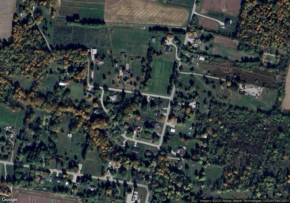
Map
Nearby Homes
- 0 U S 68
- 966 U S 68
- 260 Pocahontas St
- 100 Prugh Ave
- 46 Lake St
- 523 Newport Rd
- 633 Xenia Ave
- 148 Home Ave
- 222 Washington St
- 373 Hill St
- 293 S Miami Ave
- 400 S Detroit St
- 920 Wright Cycle Blvd
- 926 Wright Cycle Blvd
- 2102 High Wheel Dr
- 530 Cincinnati Ave
- 0 Gultice Rd Unit 940427
- 453 Walnut St
- 36 Leaman St
- 2144 Tandem Dr
- 387 Timothy Ln
- 1051 Union Rd
- 1041 Union Rd
- 1088 Lee Ann Dr
- 1076 Lee Ann Dr
- 1061 Union Rd
- 1056 Lee Ann Dr
- 367 Timothy Ln
- 1073 Union Rd
- 1050 Union Rd
- 1089 Lee Ann Dr
- 1081 Lee Ann Dr
- 1065 Lee Ann Dr
- 1105 Lee Ann Dr
- 1119 Lee Ann Dr
- 1041 Lee Ann Dr
- 1038 Union Rd
- 1070 Union Rd
- 370 Washington Rd
- 1119 Union Rd