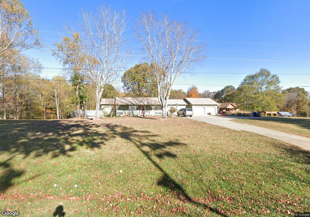
3971 Level Grove Rd Cornelia, GA 30531
Estimated Value: $421,000 - $461,773
3
Beds
2
Baths
2,157
Sq Ft
$207/Sq Ft
Est. Value
About This Home
This home is located at 3971 Level Grove Rd, Cornelia, GA 30531 and is currently estimated at $445,443, approximately $206 per square foot. 3971 Level Grove Rd is a home located in Habersham County with nearby schools including Level Grove Elementary School, South Habersham Middle School, and Habersham Success Academy.
Ownership History
Date
Name
Owned For
Owner Type
Purchase Details
Closed on
Dec 19, 2018
Sold by
Dockery Ronnie E
Bought by
Styles Joel Curtis and Styles Mary D
Current Estimated Value
Home Financials for this Owner
Home Financials are based on the most recent Mortgage that was taken out on this home.
Original Mortgage
$179,080
Outstanding Balance
$159,907
Interest Rate
5.5%
Mortgage Type
FHA
Estimated Equity
$285,536
Create a Home Valuation Report for This Property
The Home Valuation Report is an in-depth analysis detailing your home's value as well as a comparison with similar homes in the area
Home Values in the Area
Average Home Value in this Area
Purchase History
| Date | Buyer | Sale Price | Title Company |
|---|---|---|---|
| Styles Joel Curtis | $220,000 | -- |
Source: Public Records
Mortgage History
| Date | Status | Borrower | Loan Amount |
|---|---|---|---|
| Open | Styles Joel Curtis | $179,080 |
Source: Public Records
Tax History
| Year | Tax Paid | Tax Assessment Tax Assessment Total Assessment is a certain percentage of the fair market value that is determined by local assessors to be the total taxable value of land and additions on the property. | Land | Improvement |
|---|---|---|---|---|
| 2025 | $4,188 | $173,374 | $29,272 | $144,102 |
| 2024 | $4,410 | $169,892 | $28,580 | $141,312 |
| 2023 | $3,678 | $147,088 | $28,580 | $118,508 |
| 2022 | $2,999 | $115,032 | $13,100 | $101,932 |
| 2021 | $2,735 | $105,376 | $13,100 | $92,276 |
| 2020 | $2,519 | $93,672 | $13,100 | $80,572 |
| 2019 | $2,278 | $84,596 | $13,100 | $71,496 |
| 2018 | $1,473 | $59,356 | $13,100 | $46,256 |
| 2017 | $1,430 | $55,792 | $13,100 | $42,692 |
| 2016 | $1,386 | $139,480 | $13,100 | $42,692 |
| 2015 | $1,370 | $139,480 | $13,100 | $42,692 |
| 2014 | $1,384 | $137,490 | $13,100 | $41,896 |
| 2013 | -- | $54,996 | $13,100 | $41,896 |
Source: Public Records
Map
Nearby Homes
- 263 Woodmont Dr
- 450 Beachwood Dr
- 434 Beachwood Dr
- 0 Woodmont Dr Unit LOT 3
- 240 Woodmont Dr
- 0 Beachwood Dr Unit 7694240
- 0 Beachwood Dr Unit 35
- 335 Laurel Place Dr
- 255 Laurel Place Dr
- 0 Hubert Harris
- 429 Hubert Harris Rd
- J Warren
- 0 State Route 365 Unit 10496178
- 0 State Route 365 Unit 10496183
- 329 Highland Pointe Dr
- 0 J Warren Rd Unit 10429700
- 424 Highland Pointe Dr
- 752 Dawn Place
- 226 Highland Pointe Dr
- 3402 Bc Grant Rd
- 0 Heads Ferry Rd Aka Crow Bridge Rd Unit 7571637
- 3925 Level Grove Rd
- 3853 Level Grove Rd
- 165 Pine Grove Rd
- 191 Pine Grove Rd
- 228 Pine Grove Rd
- 4069 Level Grove Rd
- 3845 Level Grove Rd
- 239 Pine Grove Rd
- 4099 Level Grove Rd
- 3819 Level Grove Rd
- 4133 Level Grove Rd
- 4181 Level Grove Rd
- 3842 Level Grove Rd
- 3815 Level Grove Rd
- 0 Pine Grove Rd Unit Lot 18 8883070
- 253 Pine Grove Rd
- 322 Pine Grove Rd
- 3825 Level Grove Rd
- 3795 Level Grove Rd
Your Personal Tour Guide
Ask me questions while you tour the home.