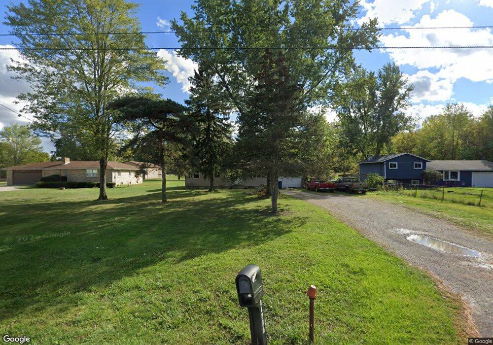
39715 State Route 303 Lagrange, OH 44050
Estimated Value: $218,630 - $267,000
3
Beds
1
Bath
1,040
Sq Ft
$244/Sq Ft
Est. Value
About This Home
This home is located at 39715 State Route 303, Lagrange, OH 44050 and is currently estimated at $253,658, approximately $243 per square foot. 39715 State Route 303 is a home located in Lorain County with nearby schools including Keystone Elementary School, Keystone Middle School, and Keystone High School.
Ownership History
Date
Name
Owned For
Owner Type
Purchase Details
Closed on
Mar 24, 2004
Sold by
Deulley Debra M and Deulley Stephen G
Bought by
Deulley Stephen G
Current Estimated Value
Home Financials for this Owner
Home Financials are based on the most recent Mortgage that was taken out on this home.
Original Mortgage
$70,000
Interest Rate
5.65%
Mortgage Type
New Conventional
Purchase Details
Closed on
Feb 28, 2004
Sold by
Deulley Debra M and Deulley Stephen G
Bought by
Deulley Debra M and Deulley Stephen G
Home Financials for this Owner
Home Financials are based on the most recent Mortgage that was taken out on this home.
Original Mortgage
$70,000
Interest Rate
5.65%
Mortgage Type
New Conventional
Purchase Details
Closed on
Mar 22, 2002
Sold by
Duelley Debra M and Harlene Beckloff
Bought by
Deulley Debra
Purchase Details
Closed on
Jul 6, 2000
Sold by
Mole Harland H and Deulley Debra M
Bought by
Deulley Debra M and Beckloff Harlene
Create a Home Valuation Report for This Property
The Home Valuation Report is an in-depth analysis detailing your home's value as well as a comparison with similar homes in the area
Home Values in the Area
Average Home Value in this Area
Purchase History
| Date | Buyer | Sale Price | Title Company |
|---|---|---|---|
| Deulley Stephen G | -- | Multiple | |
| Deulley Debra M | -- | -- | |
| Deulley Debra | $91,700 | -- | |
| Deulley Debra M | -- | -- |
Source: Public Records
Mortgage History
| Date | Status | Borrower | Loan Amount |
|---|---|---|---|
| Closed | Deulley Stephen G | $70,000 |
Source: Public Records
Tax History Compared to Growth
Tax History
| Year | Tax Paid | Tax Assessment Tax Assessment Total Assessment is a certain percentage of the fair market value that is determined by local assessors to be the total taxable value of land and additions on the property. | Land | Improvement |
|---|---|---|---|---|
| 2024 | $2,547 | $61,639 | $24,182 | $37,457 |
| 2023 | $2,307 | $46,641 | $23,268 | $23,373 |
| 2022 | $2,289 | $46,641 | $23,268 | $23,373 |
| 2021 | $2,289 | $46,641 | $23,268 | $23,373 |
| 2020 | $2,102 | $38,170 | $19,040 | $19,130 |
| 2019 | $2,089 | $38,170 | $19,040 | $19,130 |
| 2018 | $2,117 | $38,170 | $19,040 | $19,130 |
| 2017 | $2,197 | $38,610 | $19,660 | $18,950 |
| 2016 | $2,181 | $38,610 | $19,660 | $18,950 |
| 2015 | $2,177 | $38,610 | $19,660 | $18,950 |
| 2014 | $1,895 | $38,610 | $19,660 | $18,950 |
| 2013 | $1,836 | $38,610 | $19,660 | $18,950 |
Source: Public Records
Map
Nearby Homes
- 0 Dill Ct Unit 5072837
- 607 Rundle St
- 194 Railroad St
- 630 Rundle St
- 548 William St
- 516 Appomattox Ct
- 800 Buckingham Dr
- 808 Buckingham Dr
- 110 Railroad St
- 822 Robinson Dr
- 433 N Center St
- 831 Robinson Dr
- 829 Robinson Dr
- 40725 Biggs Rd
- 128 Harvest Ct
- 756 N Center St
- 171 Keywood Blvd
- 19045 Whitehead Rd
- 40175 Banks Rd
- 1065 Sunshine Ct
- 39737 State Route 303
- 39667 Ohio 303
- 39691 State Route 303
- 39775 State Route 303
- 39667 State Route 303
- 39756 State Route 303
- 39807 State Route 303
- 39798 State Route 303
- 39680 State Route 303
- 39829 State Route 303
- 39631 State Route 303
- 39872 State Route 303
- 39591 State Route 303
- 39851 State Route 303
- 39893 State Route 303
- 39915 State Route 303
- 39937 State Route 303
- 39493 State Route 303
- 39492 State Route 303
- 39983 State Route 303